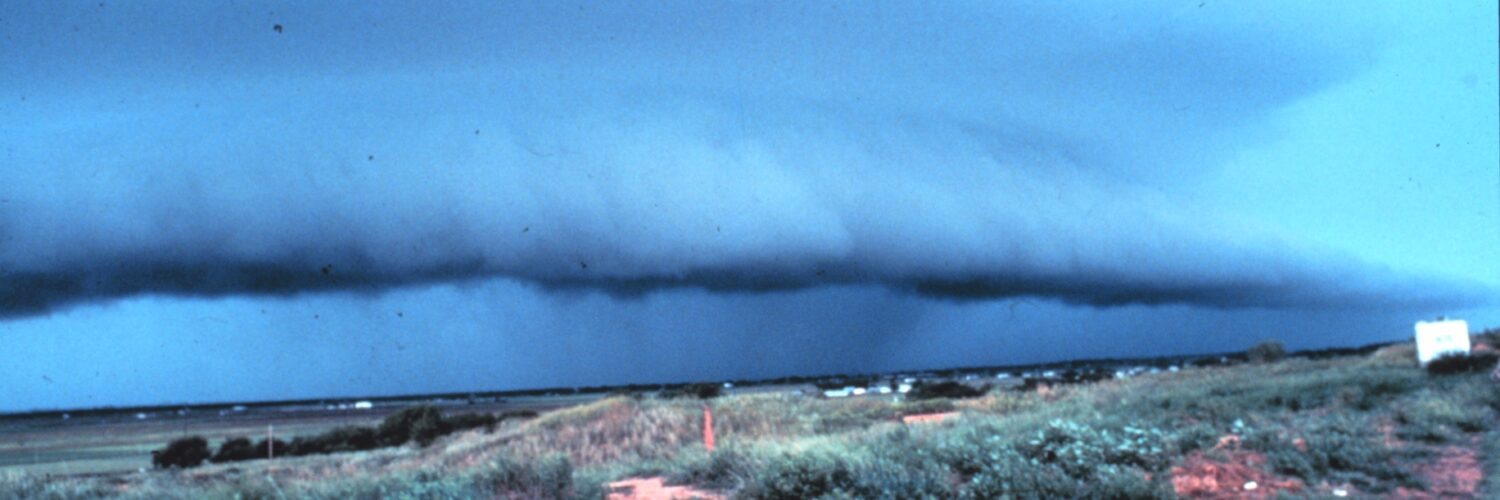
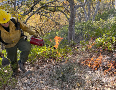
A thunderstorm does not need a tornado to produce destructive wind. Sometimes the most damaging part of a storm is a rush of air that falls out of the cloud, strikes the ground, and spreads outward in every direction. That burst can snap tree limbs, push rain sideways, scatter outdoor objects, and create a wind pattern that looks confusing after the storm has passed.
That kind of event is called a microburst. The National Weather Service describes a microburst as a small, localized downdraft within a thunderstorm, usually no more than 2.5 miles across. Its size is part of what makes it tricky: a neighborhood, an airport runway, or one side of a town can be hit hard while nearby places experience an ordinary storm. Microbursts are short-lived, but their winds can be strong enough to cause damage comparable to some weak tornadoes.
The moment falling air hits the ground
A thunderstorm is built from moving air. Warm, humid air rises into the storm as an updraft, cools, condenses, and helps form rain, hail, and cloud towers. At the same time, air can begin moving downward. Once that sinking air becomes concentrated and fast enough, it becomes a downdraft that can reach the surface with real force.
A microburst begins when that downdraft accelerates. The falling air may be loaded with rain or hail, cooled by evaporation, or both. Cold air is denser than warm air, so once a pocket of storm-cooled air starts sinking, gravity helps it plunge. When it reaches the ground, it cannot keep moving downward, so it spreads outward horizontally like water from a dropped bucket.
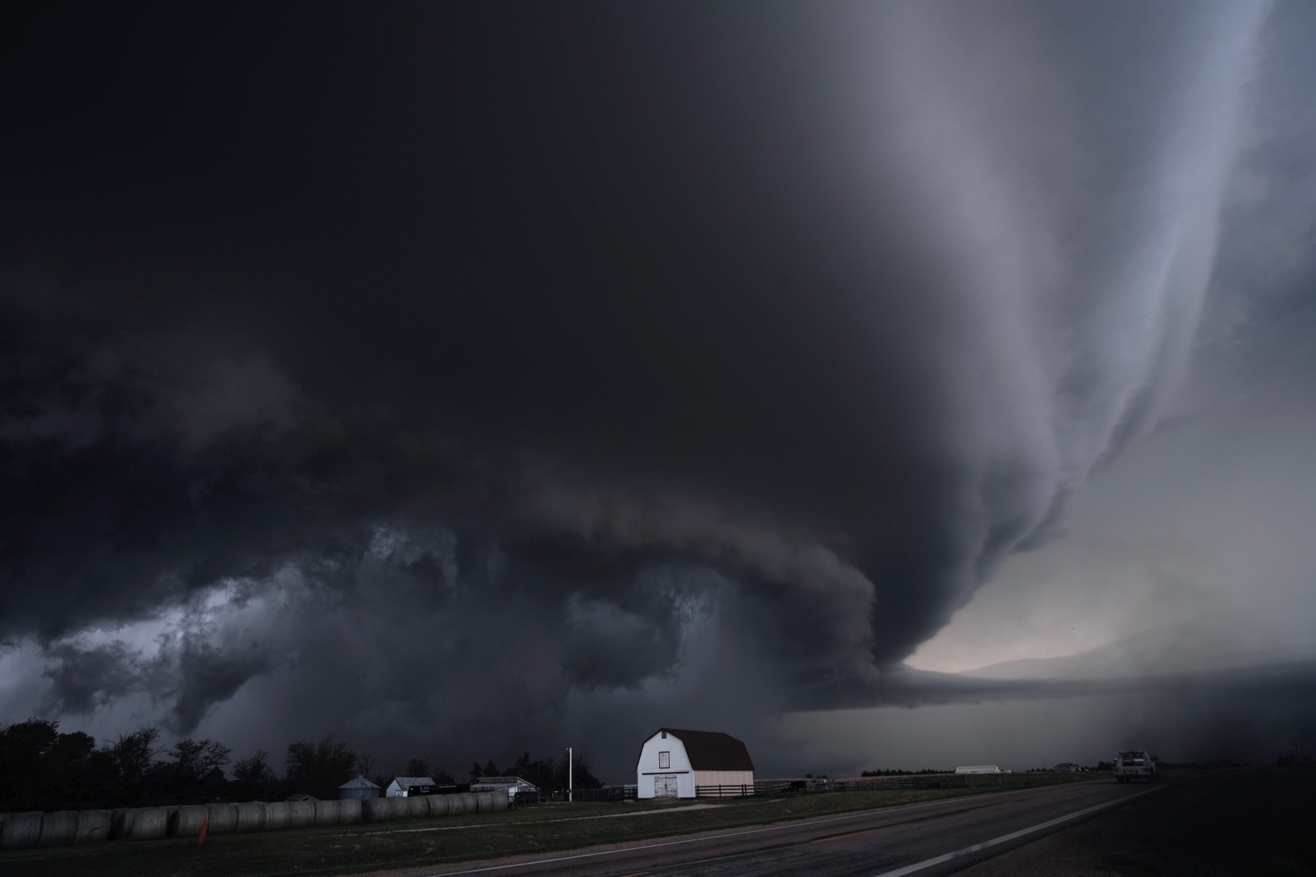
That outward spread is why microbursts produce straight-line winds instead of rotating winds. The strongest wind often appears near the center of the burst and along the outward surge. From the ground, the storm may look like a curtain of rain, a sudden dust cloud, or a dark lowering sky. From the damage pattern, investigators may see trees or debris pushed away from a central point rather than wrapped around a rotating path.
Wet microbursts and dry microbursts
Microbursts are often grouped into two types: wet and dry. A wet microburst comes with heavy rain that reaches the ground. These are common in humid regions, especially during warm-season thunderstorms, because there is enough moisture for heavy precipitation to fall through the downdraft.
A dry microburst works differently. Rain may form inside the storm, but much of it evaporates before reaching the ground. That evaporation cools the air sharply, making the air denser and encouraging it to sink faster. Dry microbursts can happen in places where the air below the storm is hot and relatively dry, so a storm may produce a powerful burst of wind with little rain at the surface.
Both types depend on the same basic idea: sinking air gains speed, hits the ground, and spreads outward. The difference is what a person on the ground notices first. In a wet microburst, the warning may be a bright white rain shaft or sudden sheets of rain. In a dry microburst, blowing dust, rapid wind shifts, or virga — streaks of precipitation that fade before reaching the ground — may be more obvious.
Why microburst damage can be mistaken for tornado damage
After a damaging storm, people often ask whether a tornado touched down. That is understandable because both tornadoes and microbursts can bring intense, localized wind. The key difference is the wind pattern. A tornado is a rotating column of air connected to a thunderstorm. A microburst is a downward blast that spreads outward after hitting the surface.
That difference matters when meteorologists survey damage. Tornado damage often shows rotation, with debris twisted or laid down in crossing directions. Microburst damage more often fans outward, with trees, signs, or structures pushed in a broadly similar direction away from the center of impact. Real storm scenes can be messy, so investigators also use radar data, eyewitness reports, photographs, and timing to reconstruct what happened.
The National Weather Service notes that extreme microbursts can produce very high wind speeds, and even less extreme events can be hazardous because they arrive suddenly. A small footprint does not mean a small effect. If the burst lands over a tree-lined road, a ball field, a marina, or a runway, the consequences can be serious even if the storm looks ordinary a few miles away.
Why aviation treats microbursts as a major hazard
Microbursts are especially dangerous for aircraft close to the ground. The Federal Aviation Administration warns that microburst wind shear can be a severe hazard during approach, landing, and takeoff, when an aircraft has little altitude available for recovery. The danger comes from how quickly the wind changes across a short distance.
An aircraft entering a microburst may first meet a headwind, which can briefly increase lift and make the airplane seem to perform better. Seconds later, the aircraft can encounter a strong downdraft and then a tailwind, both of which reduce performance. That sequence is dangerous because the pilot may lose lift and altitude at the worst possible moment: near the runway.
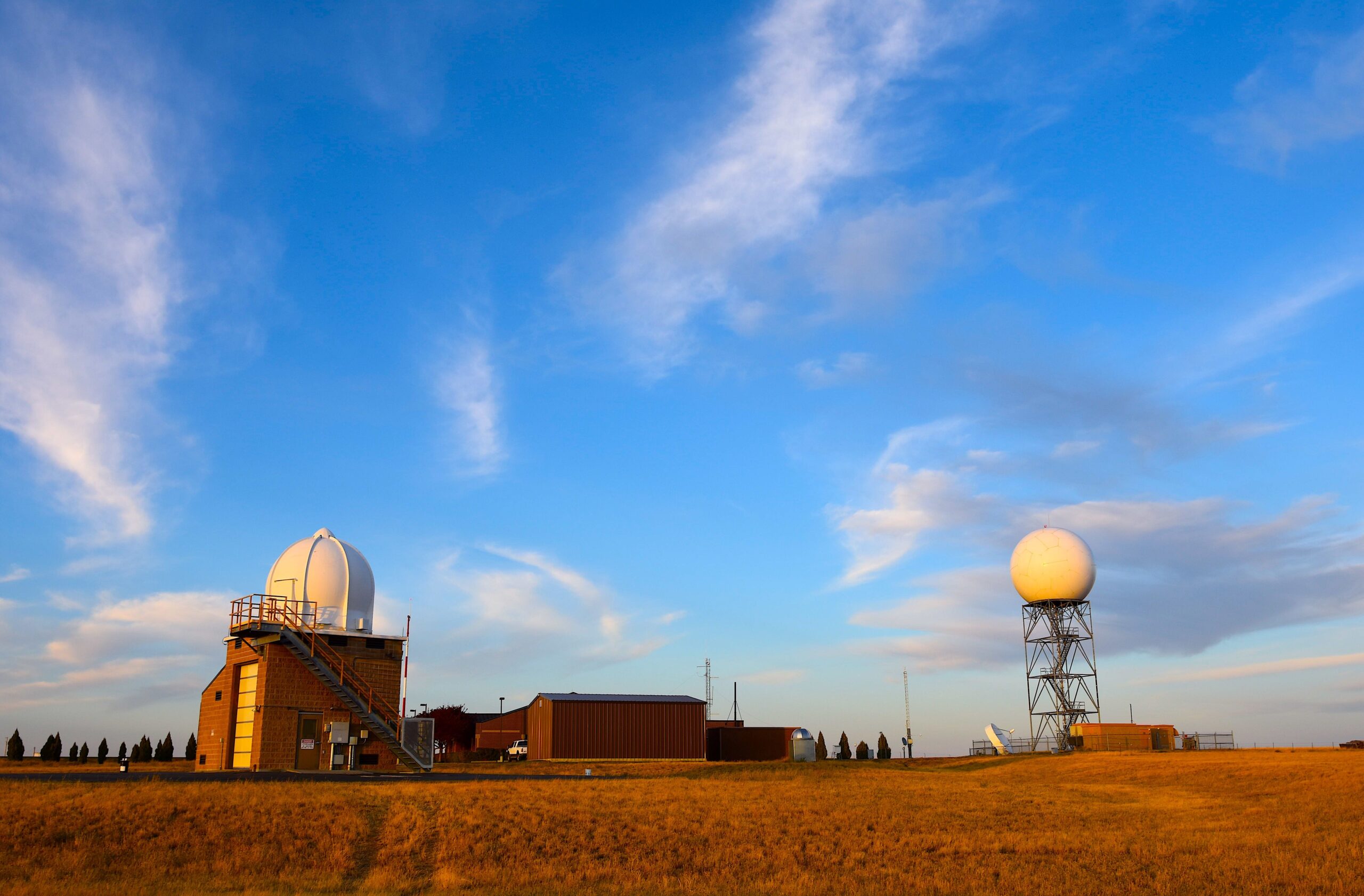
Modern airports and forecasters use several tools to reduce the risk. Terminal Doppler Weather Radar, low-level wind shear alert systems, pilot reports, and storm monitoring can help identify dangerous wind shifts. The most important idea is avoidance. A microburst can be too strong and too sudden to treat as a normal gust, so pilots and controllers take thunderstorm wind shear warnings seriously.

How to recognize the risk without guessing
Most people do not need to diagnose a microburst while a storm is happening. The safer habit is to respect the warning signs of strong thunderstorms before the burst reaches the ground. Fast-moving dark clouds, sudden cool wind, a sharply defined rain shaft, blowing dust, or a rapid shift from calm air to strong gusts can all signal that a storm is pushing air downward and outward.
Weather alerts matter here. Severe Thunderstorm Warnings are not only about hail or tornadoes; they can also be issued for damaging straight-line winds. Radar can show storm structure, but a person outside may have only seconds or minutes to react once the wind arrives. That is why moving indoors before the leading gusts reach you is much safer than waiting to see whether the storm becomes dramatic.
Microbursts also explain why storm damage can feel unfairly uneven. One street may have fallen branches and power outages while another nearby street looks almost untouched. The atmosphere does not spread its energy evenly. A narrow downdraft can focus the storm’s force into a small area, then vanish quickly enough that the sky afterward gives only a partial clue.
Understanding microbursts makes thunderstorms easier to read. A storm is not just rain falling from a cloud; it is a moving engine of rising and sinking air. When the sinking part becomes concentrated, cooled, and heavy enough, a short burst of wind can become the main event. That is why meteorologists pay attention not only to lightning and rain, but also to the invisible motion of air inside the storm.


Add comment