
 Akshay Dinesh
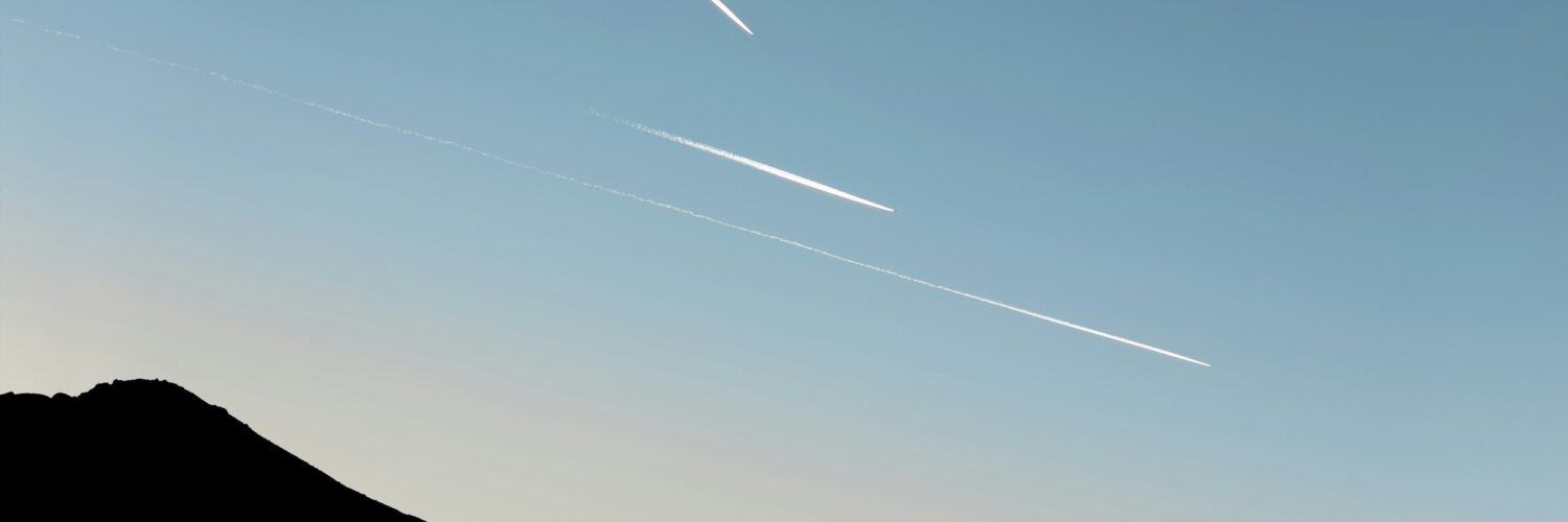
A white line behind a high-flying airplane can look simple, almost like chalk drawn across the sky. It appears, stretches, and sometimes disappears before anyone has time to think much about it. On other days, the line lingers, widens, and slowly blends into thin cloud cover until the sky looks streaked with pale brush marks. That difference is not caused by the airplane alone. It depends on the invisible weather at cruising altitude, where the air can be far colder and moister than conditions on the ground suggest.
Contrails are short for condensation trails. They are clouds made mostly of ice crystals, not smoke. Their formation begins with ordinary jet engine exhaust, but the lasting shape in the sky is controlled by temperature, humidity, wind, sunlight, and the structure of the upper troposphere. That is why two airplanes can cross the same blue sky and leave very different trails. One line fades quickly. Another remains for hours and spreads into cirrus-like cloud.
Why Jet Exhaust Can Turn Into Ice
Jet fuel combustion produces hot exhaust that contains carbon dioxide, water vapor, and small amounts of other combustion products. The Federal Aviation Administration describes aircraft exhaust as mostly carbon dioxide and water vapor, with less than one percent made up of substances such as nitrogen oxides, sulfur oxides, carbon monoxide, unburned hydrocarbons, and particles. At ground level, those emissions are part of broader air-quality concerns. At cruising altitude, the water vapor and tiny particles matter for a different reason: they can help a visible cloud form in very cold air.
A commercial jet often flies between about 25,000 and 40,000 feet, where temperatures can be far below freezing. When hot, moist exhaust enters that cold environment, the added water vapor can briefly make the air behind the engine supersaturated. Water condenses onto particles in the exhaust or particles already present in the atmosphere. The droplets then freeze into tiny ice crystals. From the ground, millions of those crystals appear as a bright white trail.
The process is similar to seeing your breath on a cold morning, but the setting is more extreme. Your warm breath becomes visible when water vapor condenses in chilly air near your face. A contrail forms when jet exhaust mixes into air cold enough for frozen cloud particles to survive. The line may not appear directly at the engine nozzle because the exhaust plume needs a little time and distance to cool and mix with the surrounding air.
Why Some Contrails Vanish Quickly
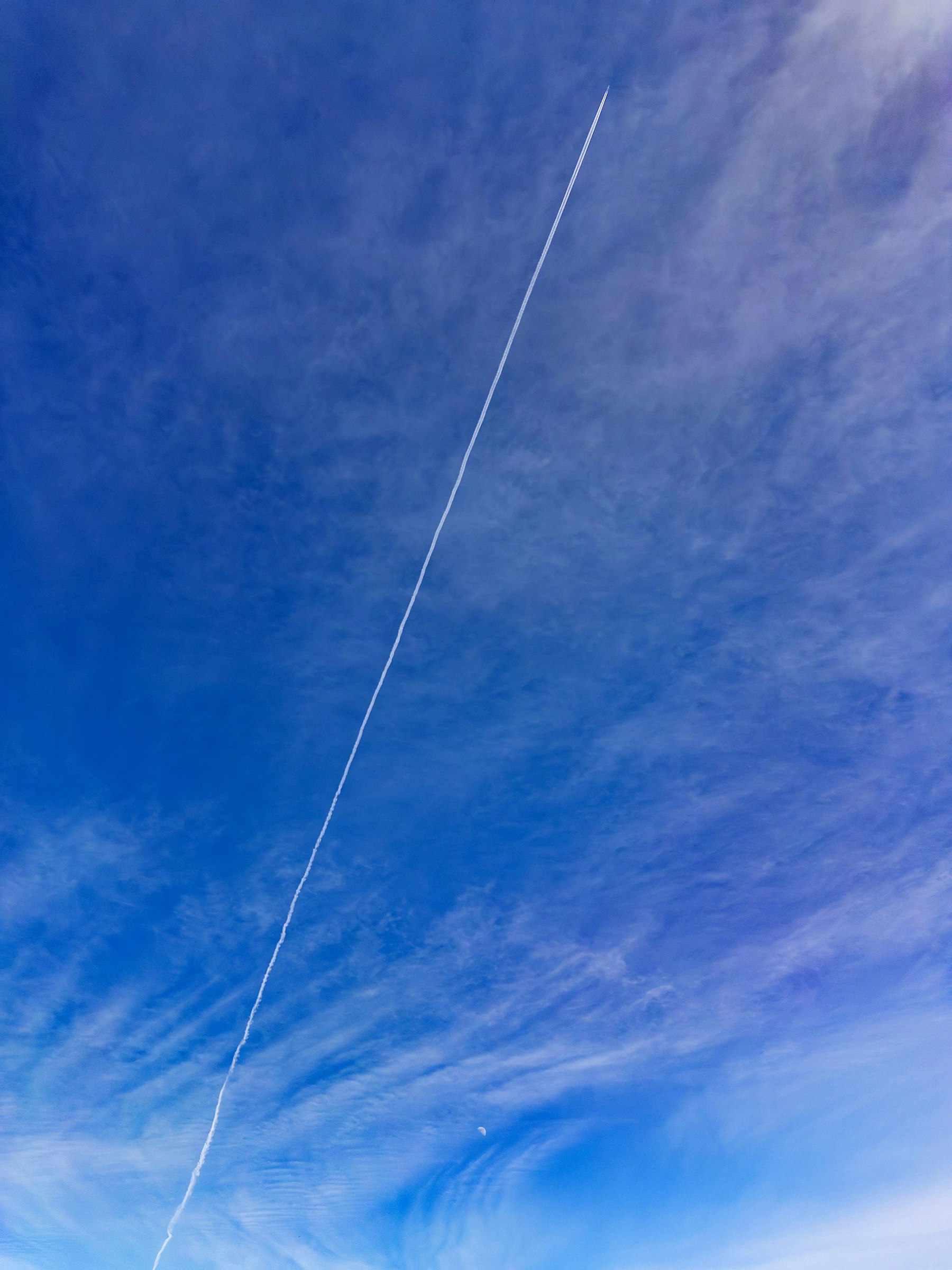
A contrail does not last just because an airplane made it. The surrounding air has to allow it to remain. If the air at flight altitude is dry, the newly formed ice crystals lose mass and sublimate, changing directly from ice into water vapor. In that case, the contrail may fade in seconds or minutes. Someone watching from the ground might see a short white tail behind the airplane that never grows into a long stripe.
That quick disappearance can happen on a day that feels humid at the surface. Weather near the ground is not the same as weather several miles above it. A warm, muggy afternoon can sit beneath a dry upper atmosphere. The reverse can happen too: the ground may feel dry while an aircraft passes through a cold, humid layer high overhead. Contrails reveal something about the air where the airplane is flying, not necessarily the air where the observer is standing.
FAA guidance notes that contrails may start and stop abruptly when an aircraft enters or leaves a pocket of extra moisture or crosses a weather boundary. That is why a trail can look dashed or broken even when the airplane flies smoothly. The aircraft has not switched the trail on and off. It has moved through small-scale changes in upper-level humidity, and only some parts of the path have the right conditions for ice crystals to form and remain visible.
How Persistent Contrails Spread Into Cirrus-Like Clouds
The most noticeable contrails form when the air is not only cold enough for ice crystals but also humid enough for those crystals to keep growing. Scientists often describe these layers as ice-supersaturated regions. In them, the air contains more water vapor than would normally remain stable over ice. Instead of evaporating quickly, contrail ice crystals can persist, widen, and be carried by high-altitude winds.
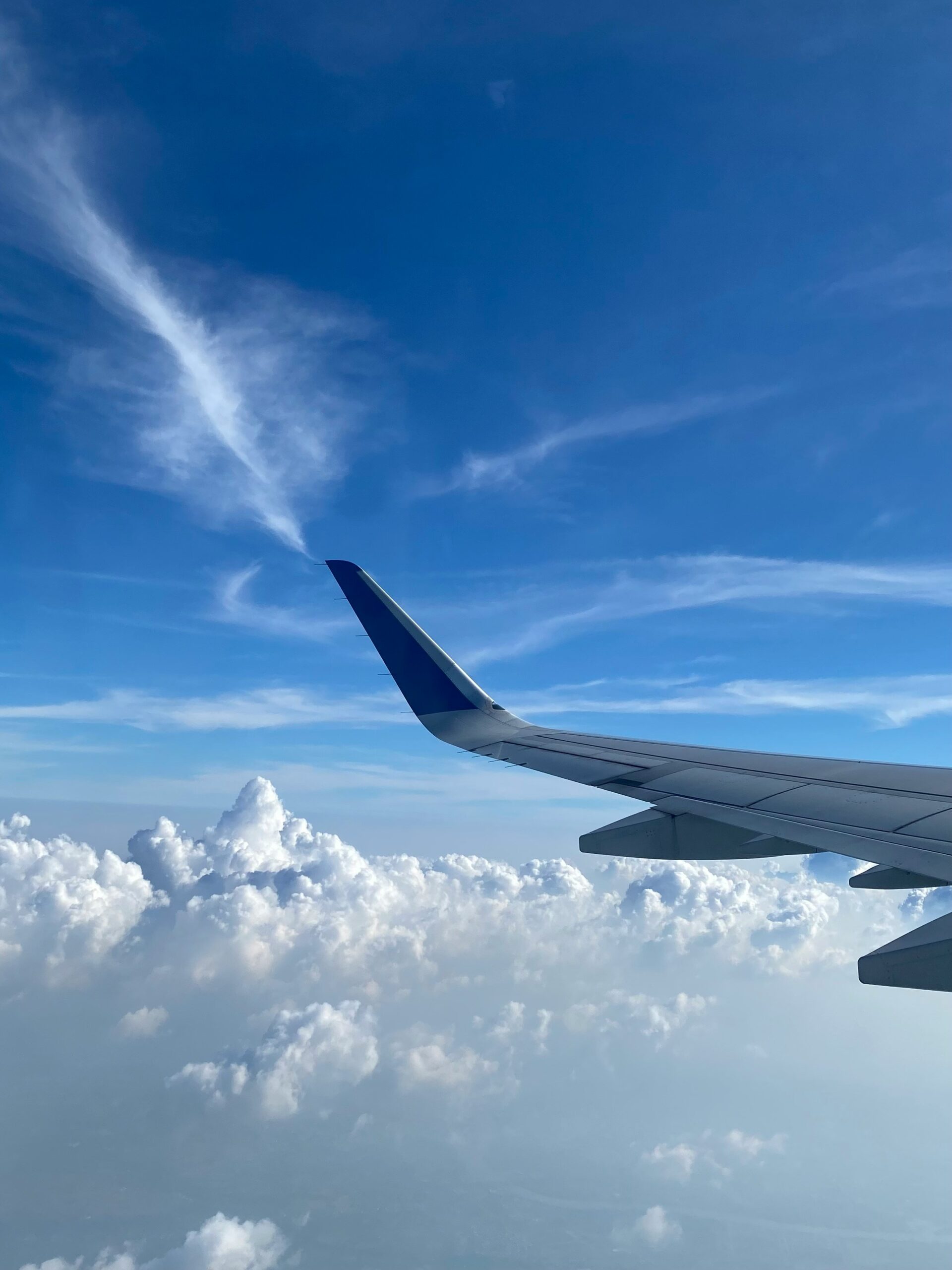
At first, a persistent contrail still has the shape of the airplane’s flight path. Wind shear then begins to stretch and twist it. Different wind speeds at slightly different altitudes can pull the line apart. The trail may become feathery, then broad, then hard to separate from natural cirrus clouds. NASA Earthdata has described how researchers use satellite data to study this evolution, especially while contrails still keep enough of a linear shape to be detected.
This spreading explains why contrails sometimes seem to cover a large part of the sky. A line made by one aircraft can drift far from the original route, and a busy flight corridor can create many trails that overlap. The FAA notes that upper-atmospheric winds can move persistent contrails so far that a line seen from the ground may have been made by an airplane already hundreds of miles away. The sky is not a fixed map of aircraft directly overhead.
What Contrails Can Tell Us About the Atmosphere
Contrails are useful because they make upper-air conditions visible. A short-lived contrail suggests the aircraft passed through air that could briefly support ice crystals but was too dry for them to last. A persistent spreading contrail suggests cold, ice-supersaturated air. A sky filled with long streaks often means the atmosphere along busy flight paths is favorable for high cloud formation.
The patterns can be misleading if they are read too simply. Contrails may cross because airplanes are using different routes or altitudes. They may curve because an aircraft is turning, holding, or following an assigned path. They may appear in clusters because many flights share common corridors. Natural cirrus clouds can also form lines or bands, especially near fronts, mountains, or atmospheric waves. From the ground, shape alone is not always enough to identify every streak confidently.
That uncertainty is one reason satellite research matters. NASA scientists have used instruments such as the Moderate Resolution Imaging Spectroradiometer, or MODIS, to separate linear contrails from other bright features and compare them with known flight paths. Satellite views show not only where contrails form, but how they sit within larger weather systems. A single person looking up sees a local scene. A satellite can reveal the flight corridor, cloud background, and regional atmospheric pattern.
Why Scientists Study Contrails and Climate
Contrails are clouds, and clouds affect how energy moves through the atmosphere. Thin ice clouds can reflect some incoming sunlight back toward space, which has a cooling influence. They can also trap outgoing infrared radiation from Earth, which has a warming influence. The balance depends on timing, location, surface conditions, cloud thickness, and whether the contrail forms during day or night. Nighttime contrails do not reflect sunlight, so their effect is mainly warming.
The climate question is not whether one white line changes the weather below it in an obvious way. The question is what persistent contrails and the cirrus-like clouds they create do across many flights, many regions, and many years. NASA Earthdata describes the overall effect of contrails as warming, while also noting that it is much smaller globally than the warming from accumulated carbon dioxide. A 2025 National Academies report identified persistent contrails and aviation-induced cirrus as one of aviation’s largest non-carbon-dioxide climate effects, while also emphasizing the need for better data and forecasting.
Researchers are especially interested in the relatively small share of flights that create long-lasting contrails in sensitive atmospheric conditions. If a route crosses an ice-supersaturated layer at night, a small altitude adjustment might avoid forming a persistent cloud while adding little extra fuel use. That idea is scientifically promising, but it is not simple. Flight safety, air traffic control, weather uncertainty, fuel burn, turbulence, and other emissions all have to be considered together.
Why Contrails Are Normal, But Still Worth Understanding
Contrails have appeared behind aircraft for many decades. Their basic cause is well understood: hot, moist engine exhaust mixes with very cold air, water condenses and freezes, and ice crystals become visible as a cloud trail. The EPA and FAA both distinguish these routine high-altitude condensation trails from intentional low-altitude spraying used for documented activities such as agriculture or firefighting. The long white lines most people notice behind cruising jets are not evidence of secret spraying. They are a visible result of combustion, cold air, and cloud physics.
Understanding that does not make contrails unimportant. They connect everyday travel to atmospheric science in a surprisingly direct way. A passing airplane can reveal a cold humid layer high above, show how upper-level winds move, and create a cloud that changes as sunlight and heat interact with the atmosphere. The same line that looks decorative from the ground is also part of a serious research problem for aviation and climate science.
The next time a contrail fades quickly, the upper air was probably too dry for the ice crystals to survive. If the line spreads and softens into a veil, the airplane likely crossed a colder, more humid layer where contrail cirrus could grow. The sky is not just showing where a jet has been. It is showing whether the atmosphere was ready to turn that flight path into a cloud.



Add comment