 Akshay Dinesh
A thunderstorm does not need a spinning funnel to cause serious wind damage. Some of the most destructive wind events come from storms that stay close to the ground, push forward in a long line, and knock trees, power lines, signs, and roofs in the same general direction. When that kind of windstorm lasts long enough and spreads far enough, meteorologists may call it a derecho.
The word is easy to miss in a forecast because it is less familiar than tornado or hurricane. But the hazard is not small. A derecho can race across several states in a single day, producing wind gusts strong enough to damage buildings and interrupt power over a wide region. The key idea is not one dramatic point of rotation. It is a broad, fast-moving system of thunderstorms that keeps renewing itself as it travels.
What Makes a Derecho Different
The National Weather Service describes a derecho as a widespread, long-lived windstorm associated with a band of rapidly moving showers or thunderstorms. The damage usually follows a fairly straight path, which is why forecasters often connect derechos with straight-line wind damage. That does not mean the air moves in a perfectly neat line. Inside the storm, there can be turbulent pockets, small circulations, and bursts of wind. From the ground, though, the damage pattern often looks different from a tornado path because many objects are pushed in the same broad direction.
A derecho is also different from an ordinary severe thunderstorm because of scale and persistence. A single thunderstorm can produce a strong downburst and damage a neighborhood. A derecho is built from many storms working as part of a larger system, often a squall line or a mesoscale convective system. To qualify, the wind damage has to cover a long swath and include severe gusts along much of its path. NOAA’s National Severe Storms Laboratory explains the classic threshold as a damage swath longer than 240 miles with many gusts of at least 58 mph, though meteorologists also look at the storm’s structure and continuity when classifying events.
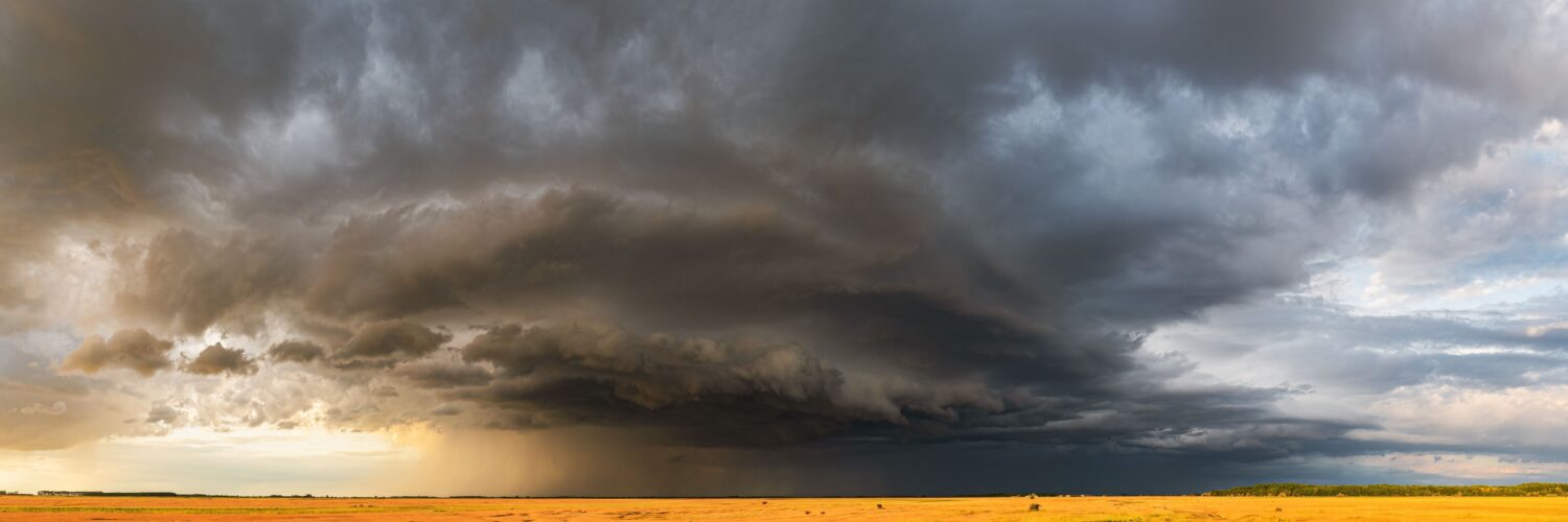
That scale is what makes a derecho so disruptive. A tornado warning may focus attention on a smaller area where rotation is strongest. A derecho threat can put many towns under damaging-wind risk at once. People hundreds of miles apart may experience the same storm system at different times, with the line arriving like a moving wall of wind, rain, lightning, and rapidly changing pressure.
How a Line of Storms Starts Moving Like One Machine
The engine of a derecho begins with thunderstorms that can keep feeding on warm, humid air. Inside a strong thunderstorm, air rises quickly in the updraft, cools, condenses into rain and ice, and eventually sends heavy precipitation downward. As that rain-cooled air descends, it can hit the ground and spread outward as a downdraft or downburst. If several storms organize together, their outflow can merge into a stronger leading edge.
That leading edge acts like a wedge of cooler air sliding under warm, moist air ahead of the storm. The warm air is forced upward, which helps build new storms along the front of the system. If the environment continues to supply instability, moisture, and winds that help organize the line, the storm complex can keep rebuilding itself instead of collapsing after one burst. The result is a self-sustaining pattern: sinking air creates outflow, outflow lifts new air, new storms produce more sinking air, and the whole line keeps pushing forward.
On radar, the strongest portion of the line may curve outward into a shape called a bow echo. NOAA’s JetStream severe-weather materials explain that a derecho can come from a long-lived bow echo or from a series of bow echoes. The bowed shape matters because it marks the place where powerful winds are surging forward. The middle of the bow often races ahead, while smaller circulations can form near the ends or along the line. That structure can make the storm both fast and complicated.
Derechos often form in warm-season environments when there is plenty of humid air near the ground and stronger winds higher up. The upper-level winds help steer the storm and can carry momentum downward through downdrafts. This is one reason derecho winds can feel sudden and fierce: air from above is being dragged toward the surface and spread outward by a moving storm system that already has momentum.
Why the Wind Damage Can Stretch So Far
A derecho’s reach comes from repetition. Instead of one wind burst ending the event, many downbursts and downburst clusters develop along the storm line. Each one may damage a separate community, but together they create a long swath. When forecasters look back at a derecho, they are not only asking whether one city had a severe gust. They are tracing whether the same thunderstorm system produced repeated damaging winds over a large distance.
The wind direction is part of the clue. In a tornado, the rotating circulation can scatter debris in a more twisted pattern, and the strongest damage is usually concentrated in a narrower path. In a derecho, trees may fall in a similar direction across a much wider area because the dominant force is strong outflow moving outward from the storm line. Tornadoes can still occur within a derecho-producing system, especially in embedded circulations, but the main hazard is often the broad shield of straight-line wind.
Wind speed also changes how people experience the event. Damaging thunderstorm winds are commonly classified at around 50 to 60 mph and higher. Derechos can produce gusts far above that, sometimes reaching hurricane-force strength. The comparison to a hurricane can be useful, but only up to a point. A hurricane is a tropical cyclone with a large rotating center that may affect a region for many hours. A derecho is a thunderstorm windstorm that usually passes faster, but its strongest winds can arrive with little time to react once warnings are issued.
That speed creates a practical problem. A derecho can move faster than normal traffic and sometimes faster than people expect thunderstorms to travel. Waiting to see whether the sky looks worse can be risky, especially at night or in wooded areas where falling trees are the main threat. The safest response to a severe thunderstorm warning that mentions destructive winds is to treat the wind seriously, even if no tornado warning has been issued.
How Forecasters Recognize the Threat
Forecasters do not usually begin by declaring that a derecho will definitely happen. They watch for ingredients that could allow a long-lived damaging-wind system to form. Those ingredients include unstable air, strong low-level moisture, a mechanism to trigger storms, and winds aloft that can organize a fast-moving line. Once storms develop, radar becomes central because it can show whether scattered cells are merging into a line, whether the line is bowing, and whether strong winds are likely reaching the surface.
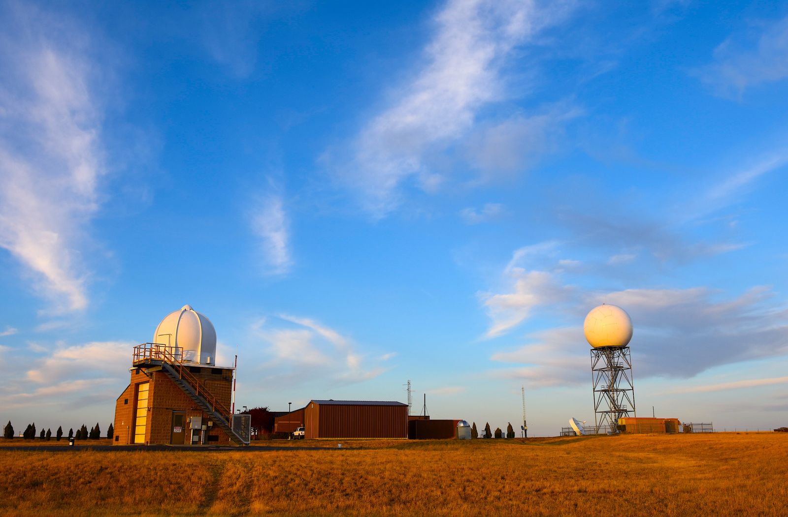
Doppler radar helps by measuring motion toward and away from the radar site. In a derecho-producing line, forecasters may see signs of strong outflow, rear-inflow jets, bowing segments, or embedded circulations. Surface reports matter too. Measured gusts, tree damage, power-line damage, and spotter reports help confirm whether the winds are reaching severe levels. Satellite imagery can also show the growth and organization of the storm complex over a broader region.
Warnings are written for immediate decisions, so the wording matters. A severe thunderstorm warning can include tags such as “considerable” or “destructive” when wind damage is expected to be especially serious. That wording is not decorative. It tells people that the threat may be closer to what they imagine from a tornado warning than from a routine summer storm. The safest place is indoors, away from windows, and ideally in a sturdy interior room if destructive winds are expected.
The warning challenge is that derechos may cover a large area while still containing local differences. One town may experience mostly heavy rain and gusty wind, while another along the same line gets a damaging downburst. A forecast cannot identify every falling tree or every street that will lose power. It can, however, show when the environment and radar structure support a wind event that deserves quick protective action.
Why Derecho Risk Is Easy to Underestimate
Derechos are easy to underestimate because the name sounds technical and the sky may not look unusual until the storm is close. People are also trained, understandably, to focus on tornadoes as the most dramatic thunderstorm hazard. But straight-line wind can damage roofs, flip high-profile vehicles, break large tree limbs, and cut power across wide regions. The danger often comes from the ordinary things around people: trees near homes, loose outdoor furniture, temporary structures, construction materials, and roads blocked by debris.
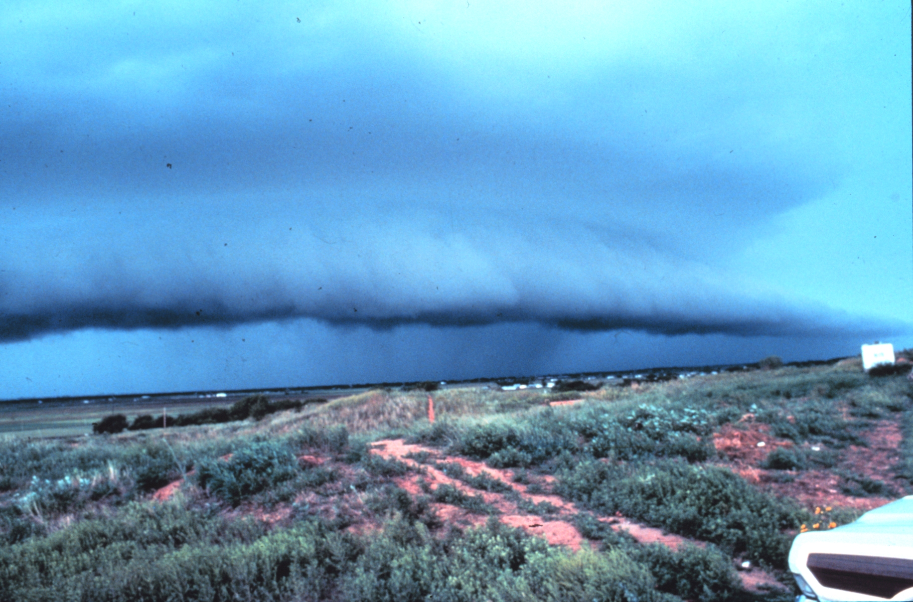
The risk can be higher when storms arrive after dark. A shelf cloud or approaching wall of rain may be obvious in daylight, but at night the first clues may be a phone alert, lightning, a sudden roar of wind, or lights flickering. Mobile alerts, weather radios, and local warnings become more important because visual judgment is weaker. If a warning mentions winds of 70, 80, or 90 mph, the practical question is not whether the storm has a famous label. It is whether people have moved away from windows and given themselves protection from flying or falling objects.
Preparation is simple but time-sensitive. Before severe-weather days, loose outdoor items can be secured, devices can be charged, and flashlights can be placed where they are easy to find. During the warning, the priority is shelter, not watching the storm. Afterward, downed power lines, weakened trees, blocked roads, and damaged buildings can remain dangerous even when the rain has stopped.
A derecho is a reminder that thunderstorms are not small just because they are familiar. Under the right conditions, separate storms can organize into a moving wind machine that reaches far beyond one neighborhood. Understanding that structure makes warnings easier to read: a long line, a bowing radar shape, repeated downbursts, and widespread straight-line winds can add up to one of summer’s most powerful weather events.