A thunderstorm usually feels local. Dark clouds build, rain arrives, wind shakes the trees, and then the storm moves on. A derecho is different. It is not a single thunderstorm sitting over one neighborhood, and it is not a tornado spinning along a narrow path. It is a long-lived, fast-moving thunderstorm system that can push destructive straight-line winds across several states before it finally weakens.
The National Weather Service classifies a storm as a derecho when its wind-damage swath extends more than 240 miles and includes gusts of at least 58 miles per hour along much of that path. Some derechos produce gusts far stronger than that, reaching speeds people often associate with hurricanes or strong tornadoes. The danger comes from scale as much as strength: the wind may not twist like a tornado, but it can surge forward across farms, towns, highways, and power lines for hours.
A thunderstorm line that starts to organize
Most thunderstorms need three basic ingredients: moisture, unstable air, and a lifting trigger that pushes warm air upward. On a humid summer day, warm air near the ground can rise quickly, cool as it climbs, and build towering clouds. If the atmosphere has enough energy, those clouds can become strong thunderstorms with heavy rain, hail, lightning, and bursts of wind.
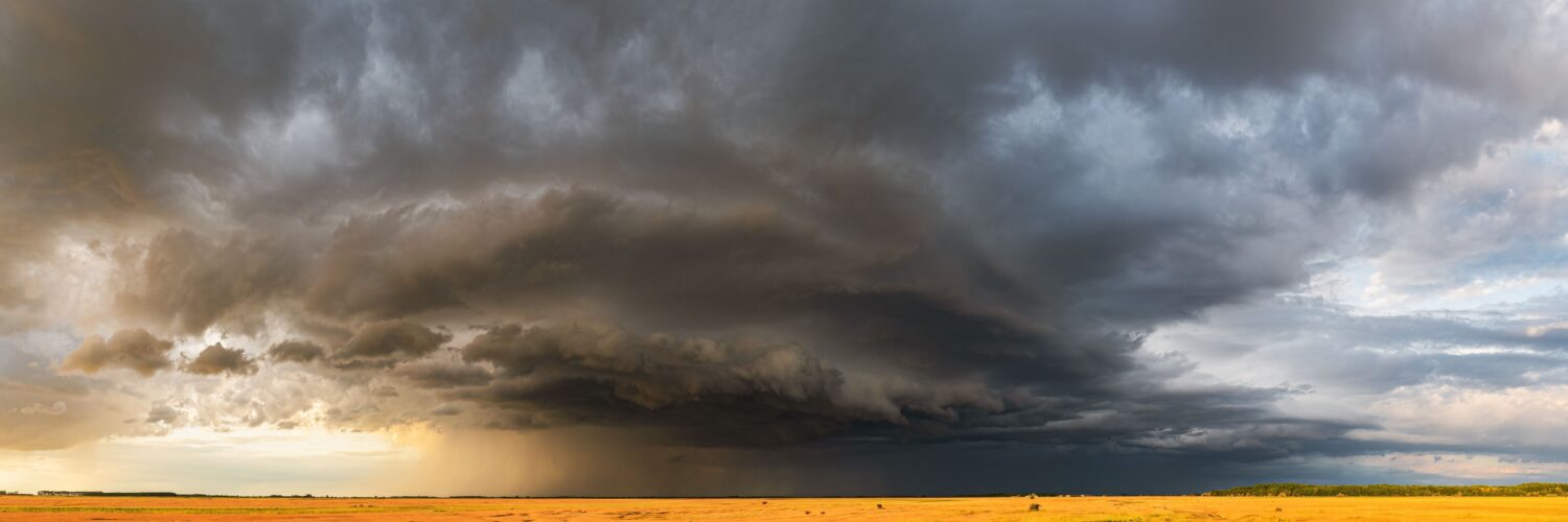
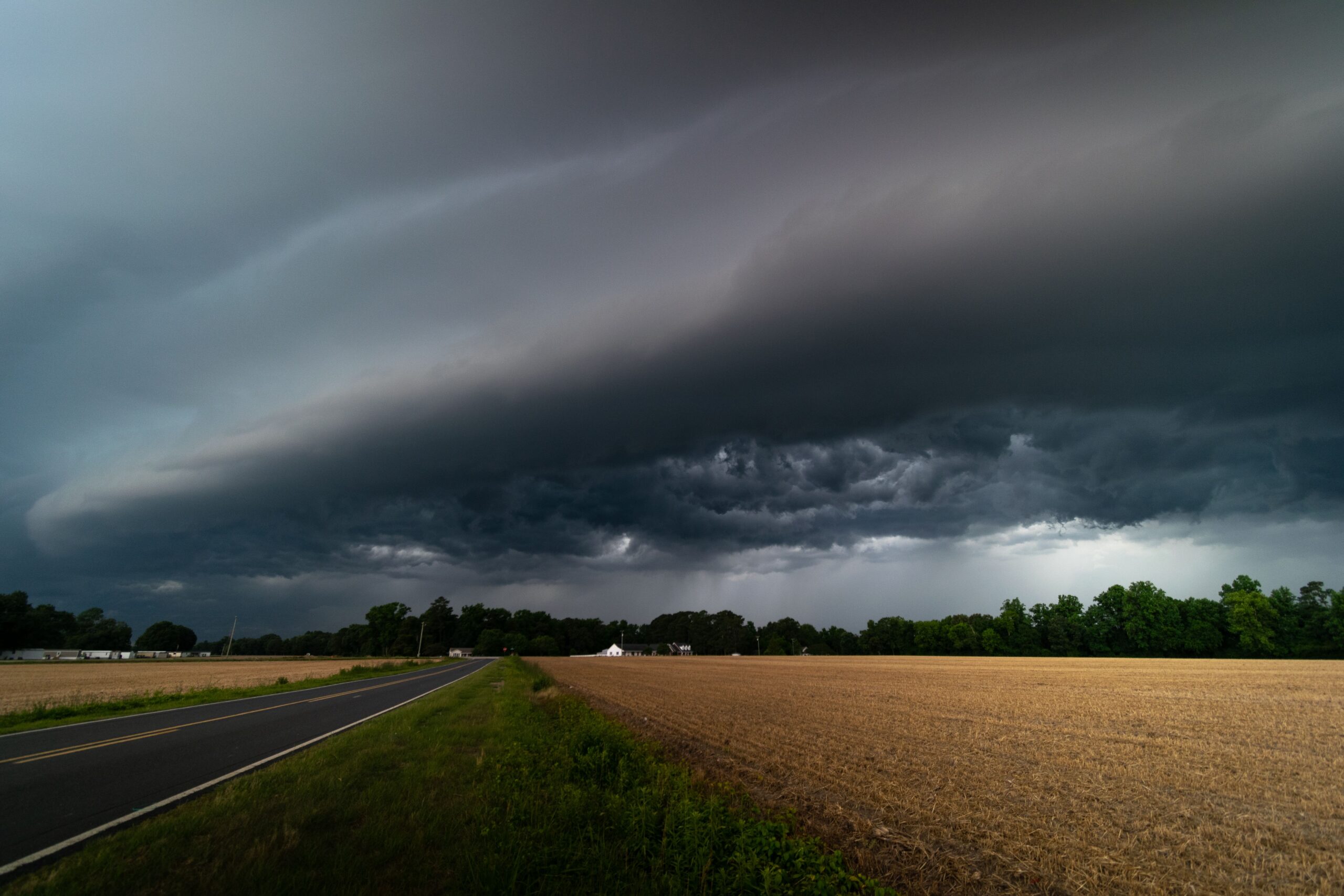
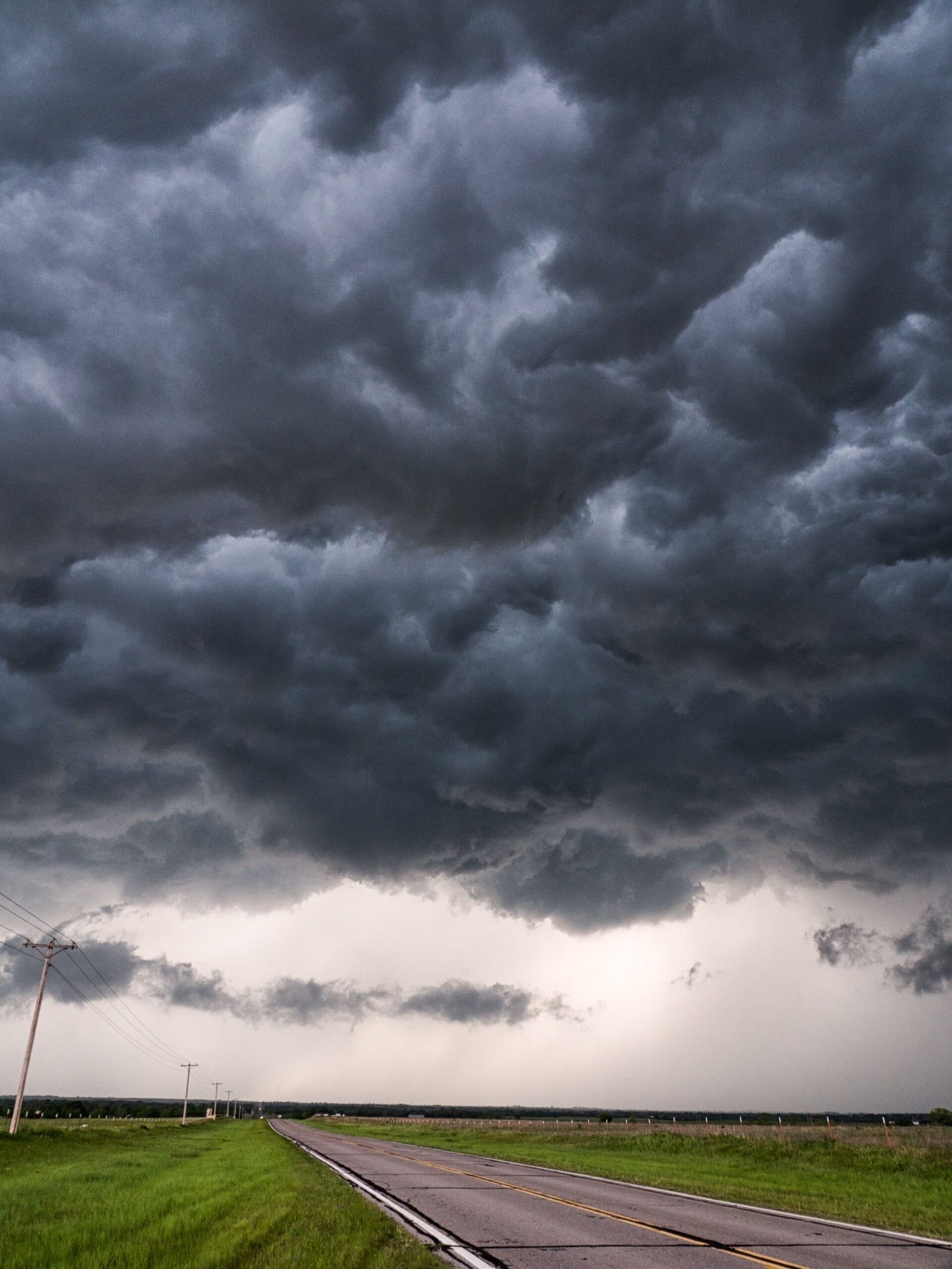
A derecho begins when storms do more than pop up one by one. They organize into a larger line or cluster, often called a mesoscale convective system. That phrase simply means a thunderstorm system large enough to affect a region rather than a single town. On radar, some derechos show a curved shape called a bow echo, where the middle of the storm line bulges forward like an archer’s bow.
That bowing shape is a clue that strong winds are racing out ahead of the storm. Rain-cooled air sinks inside the thunderstorm, hits the ground, and spreads outward. When that outflow becomes especially strong and keeps reinforcing the storm line, the whole system can accelerate. The result is not just a storm with gusty edges, but a moving wind machine fed by fresh warm, moist air along its leading side.
Why the wind blows straight instead of spinning
The word derecho comes from Spanish and means straight or direct. That name points to the storm’s most important difference from a tornado. A tornado is a rotating column of air. Derecho winds are mainly straight-line winds, meaning they move outward and forward rather than spinning around a tight center.
Straight-line wind can still be extremely destructive. A downburst begins when a column of air rushes downward inside a thunderstorm, often helped by falling rain and hail. When that air reaches the ground, it spreads out quickly. In a small storm, the burst may damage a few blocks or a few fields. In a derecho, many downbursts and downburst clusters can occur along a much larger storm line, producing widespread wind damage in the same general direction.
This is why derecho damage can confuse people after the storm. A neighborhood may see trees flattened, roofs damaged, grain bins crushed, and power poles snapped, yet the damage pattern may not show the circular or converging marks associated with a tornado. Meteorologists look at radar, storm reports, wind measurements, and damage direction to understand what happened. A long corridor of trees pushed the same way often points toward straight-line thunderstorm wind.
How a derecho keeps going for so long
A derecho needs a steady supply of storm fuel. Warm, humid air near the ground feeds the thunderstorm line, while stronger winds higher in the atmosphere help organize and steer it. When conditions line up, new thunderstorms can keep forming along the leading edge as older parts of the system rain themselves out. The storm does not have to survive as the exact same cloud from start to finish; the larger system survives because it keeps rebuilding itself.
The cold pool is one of the key pieces. As rain-cooled air spreads along the ground, it can lift warm air ahead of the storm. That lifted air forms new updrafts, which produce more rain, which strengthens the cold pool, which then pushes more air upward. When this cycle remains balanced, the storm line can hold together across long distances.
Speed matters too. Derechos often move quickly, which gives people less time to react after warnings are issued. The June 29, 2012 Midwest-to-Atlantic derecho, documented by NOAA and the National Weather Service, traveled roughly 600 miles in about 10 hours and produced hundreds of preliminary wind reports. The August 2020 Iowa derecho became another widely studied example because of its severe damage to crops, buildings, trees, and electrical infrastructure. These events showed how a storm that begins far away can become a regional emergency by evening.
Why derechos can be hard to recognize early
Many derechos are identified most confidently after the damage reports come in. That does not mean meteorologists are guessing during the storm. Forecasters can see when the ingredients favor widespread damaging wind, and severe thunderstorm watches and warnings may be issued as the risk grows. But the formal derecho label depends on the size, duration, and continuity of the wind-damage path.
That delay can make public communication tricky. People may hear severe thunderstorm warning and imagine ordinary summer weather, even though the warning can include wind gusts strong enough to damage homes and bring down trees. The National Weather Service notes that straight-line thunderstorm winds produce more damage reports than tornadoes in many years. The label may sound less dramatic than tornado warning, but the hazard can still be serious.
Radar helps forecasters watch for bowing segments, strong outflow, and rapidly advancing storm lines. Surface observations and trained spotter reports add another layer. A measured 70-mile-per-hour gust, a line of power poles down, or reports of trees falling across several counties can confirm that the storm is producing dangerous wind at ground level. The most useful information often comes from combining radar structure with real-world reports.
What makes derechos especially disruptive
A tornado can cause devastating damage, but its path is usually narrow compared with a derecho. A derecho can affect a much wider area at once. That difference changes the kind of disruption people experience. Instead of one town needing help, dozens of communities may lose power, blocked roads, cell service, and access to repairs at the same time.
Trees and power lines are especially vulnerable because the wind can last long enough to push repeatedly against the same objects. Saturated soil can make trees easier to uproot. Crops can be flattened over large areas, which is why major derechos can become agricultural events as well as weather events. In cities and suburbs, falling branches, loose outdoor objects, and damaged electrical systems can create hazards after the storm has passed.
The safest response is to treat a severe thunderstorm warning with destructive wind seriously. A sturdy building, an interior room, and distance from windows offer better protection than a porch, vehicle, or open field. The storm may not have the familiar shape of a tornado outbreak, but the wind can arrive suddenly and cover ground quickly. When a warning mentions very strong gusts, the practical question is not what the storm is called. It is whether there is enough time to get under a stronger roof and away from glass.
A storm category that teaches scale
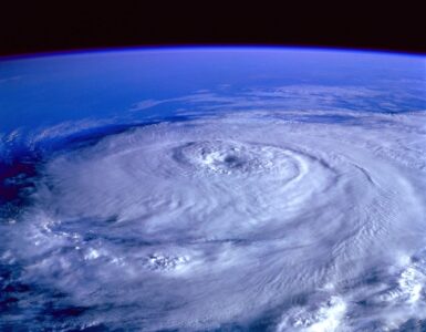
Derechos are useful to understand because they show how weather hazards are not always defined by one dramatic object. A tornado is easy to picture. A hurricane has a recognizable swirl on satellite images. A derecho is more like a moving system of linked parts: thunderstorms, downdrafts, a cold pool, wind shear, and a long corridor of damage.
That system view matters. It explains why a storm can be dangerous even without rotation, why a severe thunderstorm warning deserves attention, and why damage can stretch far beyond the place where the first clouds formed. It also shows why meteorology depends on patterns, not just isolated measurements. One wind gust is a data point. A 240-mile path of damaging gusts tells a much larger story.
The next time a summer forecast mentions damaging straight-line winds, bowing storms, or a possible derecho, the key idea is simple: the atmosphere may be organizing thunderstorms into something bigger than a passing downpour. The storm line may be able to make its own push of cold air, rebuild along its front edge, and carry destructive wind across a long distance. That is what makes a derecho both fascinating to study and important to respect.


Add comment