

 Akshay Dinesh
A weather radar shows rain or snow over your neighborhood, but the pavement is dry. Look toward the clouds and you may see gray streaks hanging beneath them, fading before they reach the horizon. Those streaks can be virga: precipitation that falls from a cloud but turns into water vapor before it reaches the ground. The radar and your window can both be telling the truth; they are observing different heights in the atmosphere.
Virga is more than a curiosity for sky watchers. It reveals a layer of relatively dry air below a cloud, helps explain why the start of a storm may be delayed, and can sometimes accompany gusty winds. It can occur with rain or snow, although a visible streak alone does not always make its precise fate easy to judge from the ground.
How precipitation disappears beneath a cloud
Inside a cloud, tiny droplets or ice crystals can grow large enough to fall. Once they leave the cloud, they enter air that may be much drier than the air in which they formed. Liquid drops lose water to the surrounding air through evaporation. Ice crystals can change directly into vapor through sublimation, without first becoming liquid.
Whether a particle survives the trip depends on its size, the depth and dryness of the air below, its temperature, and how long it spends falling. A small drop falling through a deep dry layer has more opportunity to disappear than a large drop falling through a shallow one. Air movement and changing conditions complicate the picture, so a dark streak does not provide a simple measurement of how much rain will reach a particular spot.
The falling particles can also change the air around them. As water evaporates or ice sublimates, energy is taken from the surroundings, cooling the air. Water vapor is added to that layer too. If precipitation continues, the air can become more humid, reducing the rate at which later drops or crystals disappear. A period of virga can therefore give way to rain or snow at the surface, although that is not guaranteed.
Why radar can show rain when the ground is dry
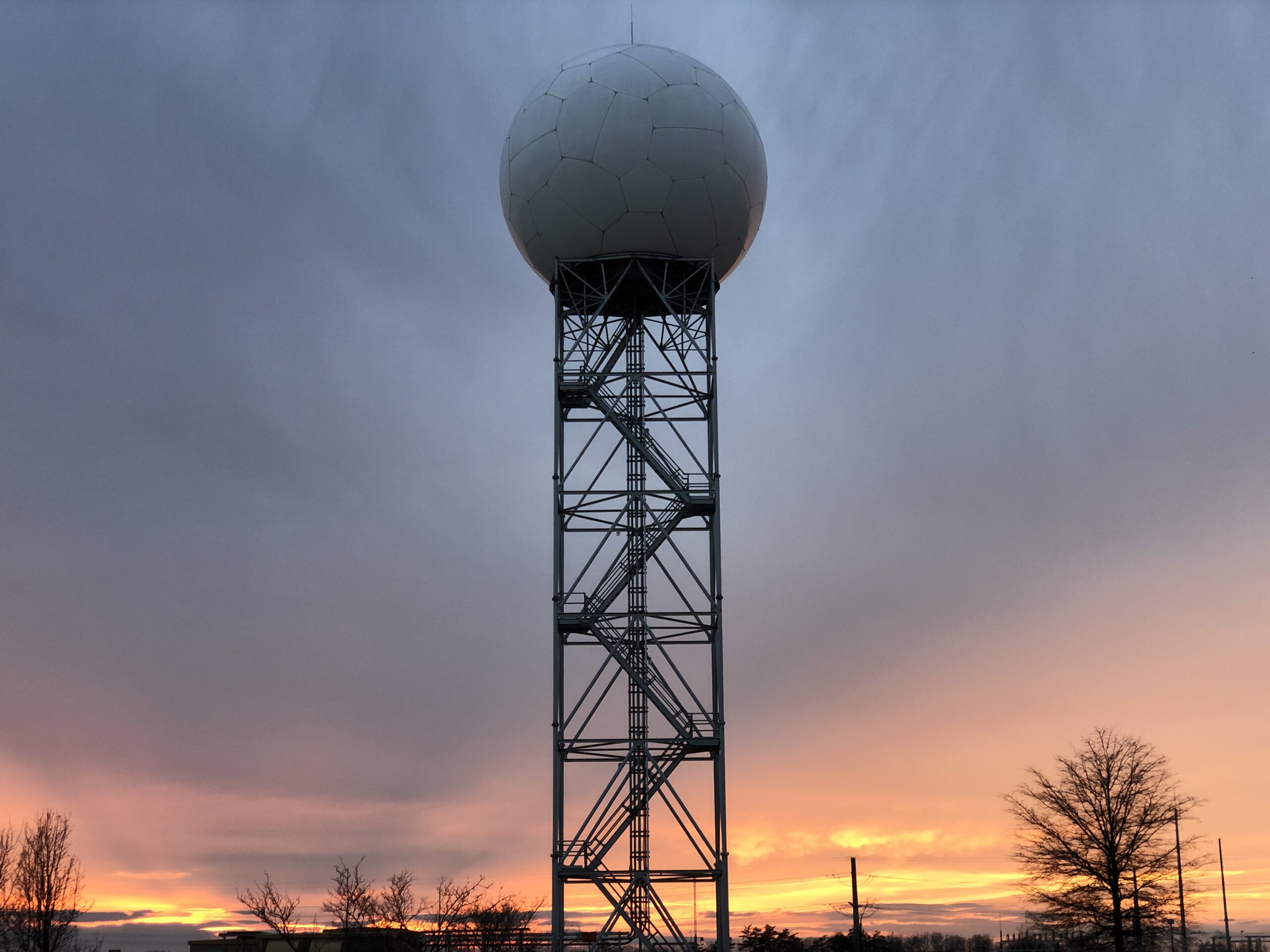
Weather radar samples a volume of air above the surface, not the pavement itself. Its beam detects energy scattered back by objects including raindrops and snowflakes. A colored patch can mean precipitation is present at the height of the beam even if some or all of it vanishes farther down. The National Weather Service’s Louisville office uses virga to explain precisely this apparent mismatch.
Imagine a band of snow approaching over a dry town. At first, the radar detects flakes aloft while the air beneath the cloud removes them before they land. As the band persists, that lower layer may moisten enough for some flakes to make it down. A radar image can help track the band, but observations from the ground and the forecast provide important context for when snow will actually begin.
Virga is not the only reason a radar display and a local observation might disagree. Radar beams rise with distance from the instrument, and terrain, processing, and the small scale of showers can affect what a display shows. A single colored pixel should not be treated as a rain gauge at your exact location.
What virga looks like from the ground
Virga often appears as fine, wispy curtains or streaks trailing from the underside of a cloud. The American Meteorological Society’s glossary describes streaks of falling liquid or ice particles that vaporize before reaching the surface. Wind at different heights can bend or tilt those trails, giving them a swept appearance. The shape is a clue to motion and changing particles, not a fixed line drawn by a single drop.
Dry air below cloud level favors virga, so it is commonly seen in arid regions, including the western United States. It is not restricted to deserts or to warm weather. Snow can sublimate into dry winter air, and high clouds can produce delicate streaks well above a landscape. From a distance, however, rain reaching a faraway surface can also look like a hanging curtain; the view alone may not establish what happened at ground level.
Can virga bring wind?
Evaporation cools the air, and cooler air can become denser than its surroundings and sink. Under suitable conditions, a descending current can spread outward when it reaches the ground and produce a sudden gust. The National Weather Service notes the cooling associated with virga; in stronger convective storms, related downdraft processes can contribute to hazardous winds.
That does not mean every patch of virga signals a damaging microburst. The strength of the downdraft depends on the larger atmospheric setting, and virga may occur without a thunderstorm. Conversely, a dry-looking storm can still be dangerous: lightning or strong winds may reach a place where little rain falls. Follow local weather warnings rather than judging a storm’s safety by how wet the ground is.
The next time a radar display suggests rain that has not arrived, look at both the sky and the forecast. The gap between cloud and ground is an active part of the weather, and a fading streak can show water changing state long before it reaches your window.
Featured image: James St. John, via Wikimedia Commons, CC BY 2.0; resized.



Add comment