
 Akshay Dinesh
Sea level rise is often pictured as melting ice pouring more water into the ocean. That is part of the story, but it is not the whole story. The ocean can rise even when no new meltwater is added, simply because warmer seawater takes up more space than colder seawater. This process is called thermal expansion, and it is one of the main reasons a warming climate changes coastlines, flood risk, and the meaning of ordinary high tides.
The idea sounds small at first. A little expansion spread across the enormous ocean does not look dramatic in a cup or a classroom beaker. Across entire ocean basins, though, a small change in volume becomes a measurable rise in sea level. NOAA describes the two major causes of global sea level rise as thermal expansion from ocean warming and added water from melting land-based ice. NASA has also reported that the faster-than-expected sea level rise observed in 2024 was driven largely by unusually warm ocean water expanding.
Warm Water Takes Up More Space
Water molecules are always moving, even when water looks still. When water warms, its molecules move more energetically and, on average, need slightly more room. That does not mean every part of the ocean expands in exactly the same way. Temperature, pressure, salinity, and depth all affect how seawater responds. The basic pattern remains simple enough to remember: when a large body of seawater gains heat, its volume increases.
This is the same broad principle behind many familiar examples of thermal expansion. A thermometer works because a substance inside it changes volume as temperature changes. Bridges and railroad tracks are built with expansion in mind because materials grow and shrink with heat and cold. The ocean is not a metal bridge or a glass thermometer, but the physical logic is related. Heat changes volume, and volume matters when the container is the global ocean.
The ocean has absorbed more than 90 percent of the excess heat trapped in the climate system, according to major climate agencies including NOAA and NASA. That makes seawater a huge heat reservoir. Air temperatures can swing sharply from day to night, but the ocean changes more slowly because water can store a great deal of heat. Once that heat enters the ocean, it can remain in the climate system for a long time and continue affecting sea level.
Thermal Expansion Is Not the Same as Melting Ice
Melting land ice raises sea level because it adds water to the ocean. Glaciers, mountain ice caps, and the Greenland and Antarctic ice sheets store frozen water on land. When that ice melts or breaks into the sea and later melts, water that was previously held above sea level joins the ocean. That is different from sea ice, which already floats in seawater and has a much smaller direct effect on sea level when it melts.
Thermal expansion works another way. It does not require an added bucket of water. The water already in the ocean grows slightly in volume as it warms. A coastline can therefore face rising water from two directions at once: more water entering from land ice and existing seawater expanding because it has absorbed heat.
The balance between these two causes can change from year to year. Over longer periods, both have mattered. NASA’s satellite record since 1993 shows global mean sea level rising, and researchers compare that surface-height record with ocean temperature measurements, ice-sheet observations, glacier data, and land-water storage estimates. In many recent years, melting land ice has supplied a large share of the rise. In 2024, NASA reported that thermal expansion accounted for most of that year’s faster-than-expected increase because ocean warming was especially strong.
Why a Few Millimeters Matter
Sea level rise is usually measured in millimeters per year, which can make it sound harmless. A few millimeters is thinner than a pencil eraser. But coasts do not experience sea level as an isolated yearly number. They experience it through tides, storm surge, heavy rain, erosion, saltwater intrusion, and drainage systems that were designed for older water levels.
A higher baseline means the same storm can reach farther inland. It means high tides that once stayed below a seawall may begin spilling over more often. It means groundwater near the coast can become saltier, especially where communities rely on shallow aquifers. It can also make gravity-fed storm drains less effective because the water they are supposed to empty into is already higher.
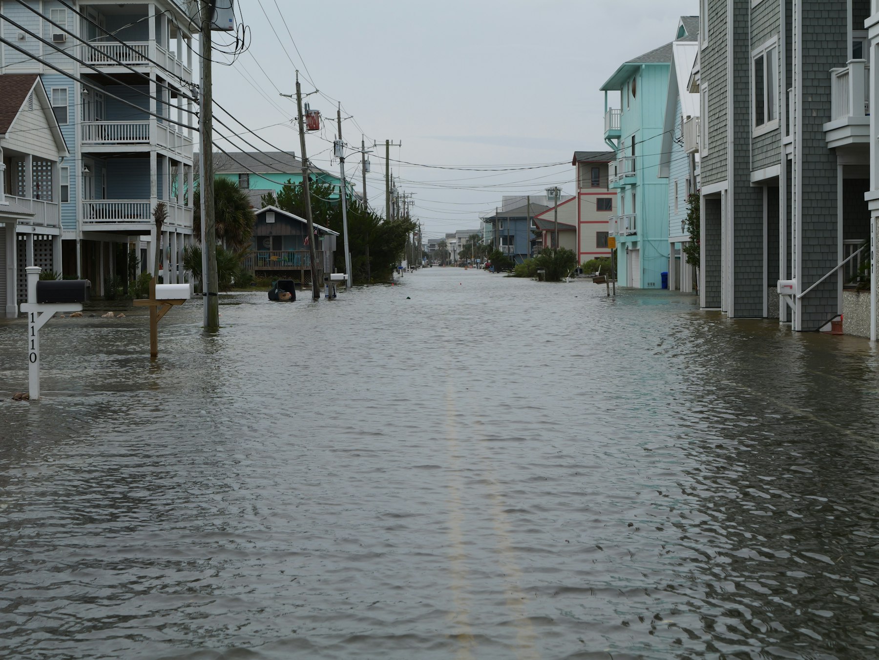
This is why scientists and planners pay close attention to small changes in average sea level. The average does not tell the whole local story, but it shifts the starting point for every tide and coastal storm. In a low-lying neighborhood, a few extra inches over time can turn rare nuisance flooding into a repeated problem. In a port, wetland, or barrier island, gradual rise can change how often waves reach roads, docks, marsh edges, and building foundations.
The Ocean Does Not Rise Evenly Everywhere
Global sea level is a useful measurement, but no one lives on the global average. Local sea level can rise faster or slower than the global number because coastlines are shaped by several forces at the same time. Land can sink because of groundwater pumping, sediment compaction, or long-term geological movement. In other places, land is still slowly rebounding after the weight of ancient ice sheets disappeared, which can partly offset rising seas.
Ocean circulation also matters. Winds, currents, water density, and regional temperature patterns can pile water slightly higher in one area than another. The Atlantic, Pacific, and Indian Oceans do not behave like one perfectly level bathtub. They are moving systems with currents, storms, pressure changes, and uneven heating. That is why a global trend needs local tide gauges and regional projections to become useful for a specific city or coast.
Tide gauges measure water level at particular coastal locations over many years. Satellites measure sea-surface height across broad ocean areas. Together, these tools help scientists separate local changes from global trends. A tide gauge can show how water level is changing relative to a pier or shoreline. Satellite altimetry can show the larger ocean surface rising and shifting from space.
How Scientists Track Expanding Oceans
Thermal expansion cannot be measured only by looking at the shoreline. Scientists need to know how much heat the ocean is storing and where that heat is going. Modern ocean observing systems use instruments on ships, satellites, moorings, and drifting floats. The Argo program, for example, uses thousands of profiling floats that sink and rise through the upper ocean while measuring temperature and salinity. Those measurements help researchers estimate ocean heat content, which is closely tied to thermal expansion.
Satellite altimeters add another kind of evidence. They send signals toward the ocean surface and measure how long the signals take to return, allowing scientists to estimate sea-surface height. The method is precise enough to track changes of only a few millimeters per year when averaged over the global ocean. Since the early 1990s, satellite observations have shown a clear rise in global mean sea level, with the rate increasing over time.
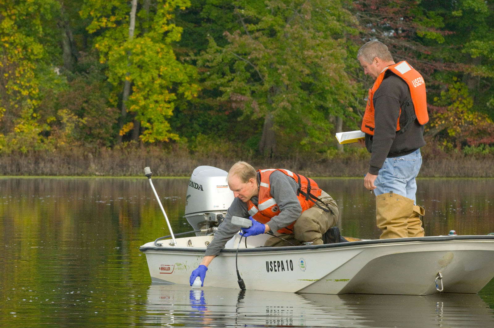
No single instrument explains the whole process. Ocean temperature records show heat entering the water. Ice measurements show how much land ice is being lost. Satellite altimetry shows the sea surface rising. Tide gauges show how that rise appears at particular coasts. When these lines of evidence are compared, thermal expansion becomes visible as part of the larger sea-level budget.
Why Thermal Expansion Changes Coastal Planning
Thermal expansion is not just a physics detail. It changes how communities think about roads, homes, marshes, water systems, and emergency planning. A bridge, drainage pipe, or waterfront building may last for decades, so planners need to consider not only today’s tides but also the higher baseline likely to exist later in the structure’s life. The slow pace of sea level rise can make it easy to overlook until ordinary flooding begins happening more often.
The concept also helps explain why ocean warming has consequences beyond marine life and storms. Warm water can fuel stronger tropical cyclones under the right atmospheric conditions, stress coral reefs, and alter marine ecosystems. At the same time, the physical expansion of that water raises the ocean surface. The same stored heat can therefore affect both what happens in the ocean and what happens at the edge of land.
Thermal expansion does not mean every coastline will face the same future. Local geology, construction choices, wetland health, storms, and emissions all shape risk. But it does mean that sea level rise is not only a story about distant ice sheets. Part of the rise comes from the ocean itself responding to heat, molecule by molecule, across an immense volume of water. That quiet expansion is enough to reshape the meaning of a tide line.




Add comment