On many warm summer days, the morning begins quietly. The sky looks open, the air feels heavy, and the first half of the day may pass with only a few small clouds drifting overhead. Then, sometime after lunch, the clouds grow taller, darker, and more crowded. By late afternoon, a rumble of thunder can seem to arrive almost on schedule.
That pattern is not a coincidence. Afternoon thunderstorms often form because the ground has had several hours to absorb sunlight, warm the air above it, and load the lower atmosphere with rising motion. When that warm air is also humid, and when the air above is cool enough to let rising parcels keep climbing, a small fair-weather cloud can grow into a towering thunderstorm. The National Weather Service describes three basic ingredients for thunderstorm development: moisture, an unstable atmosphere, and a way to start air moving upward. Summer afternoons often bring all three together.
Sunlight Starts the Daily Engine
The first ingredient is ordinary daytime heating. After sunrise, sunlight warms roads, fields, rooftops, parking lots, beaches, and soil. Those surfaces then warm the air touching them. By early afternoon, the lowest part of the atmosphere has usually taken in more heat than it had during the morning, especially on clear or partly sunny days.
Warm air is less dense than cooler air around it, so a pocket of warmed surface air can become buoyant. Meteorologists often call this kind of rising motion convection. NOAA’s National Severe Storms Laboratory explains convection as upward atmospheric motion, usually created by surface heating, that carries heat and moisture into the air above. A thunderstorm is one possible result when that upward motion becomes strong and deep enough.
The process does not happen everywhere at the same time. A dark asphalt lot may heat quickly, while a shaded forest or lake surface warms more slowly. A plowed field, a city neighborhood, a hill slope, or a patch of bare ground may become a local source of rising air. These uneven heating patterns help explain why summer storms can appear scattered, with one town getting heavy rain while another nearby place stays dry.

Moist Air Gives the Storm Fuel
Heat alone is not enough. A hot desert day can produce rising air, but without enough water vapor, the rising air may create dust devils or dry thermals rather than a rain-producing thunderstorm. Moisture matters because it helps clouds form and gives storms a source of energy as water vapor condenses into droplets.
As warm, humid air rises, it expands and cools. Cooler air cannot hold as much water vapor, so some of that vapor condenses into tiny cloud droplets. This change releases latent heat, which can keep the air parcel warmer than its surroundings and help it continue upward. In a small cloud, that process may fade quickly. In a stronger updraft, it can build the tall, cauliflower-shaped towers that later become cumulonimbus clouds.
This is why sticky summer air often feels like storm weather. Humidity near the ground gives rising air something to carry upward. The moisture does not guarantee a thunderstorm, but it raises the odds that an updraft will produce clouds, rain, and eventually lightning. In many parts of the United States, the warm season supplies enough low-level moisture that the difference between a calm day and a stormy one depends on instability and lift.
Instability Lets Air Keep Rising
A rising pocket of air has to compete with the air around it. If it rises into a layer that is warmer than itself, it loses buoyancy and slows down. If it rises into cooler surrounding air, it can keep climbing. That second setup is called atmospheric instability, and it is one of the main reasons some summer clouds flatten out while others grow into tall storms.
Instability is stronger when the lower atmosphere is warm and moist while the air above is noticeably cooler. The contrast makes a rising parcel more buoyant, like a bubble that keeps moving upward through a fluid. The National Weather Service notes that rapidly rising air is needed for thunderstorms, and that air near the ground can become buoyant when the atmosphere is unstable.
Afternoon timing matters because instability often increases through the day. Morning clouds or rain can limit heating and keep the atmosphere more stable. Bright midday sun can do the opposite, warming the surface until the lower atmosphere is ready to rise. That is why forecasters watch not only temperature and humidity, but also cloud cover, upper-air temperatures, and whether the atmosphere has a warm layer that may temporarily cap rising air.
Storms Still Need a Push
Even on a hot, humid, unstable day, air often needs a trigger to start rising in the right place. That trigger is called lift. It can come from several sources: a cold front, a warm front, a dryline, a mountain slope, a gust front from an earlier storm, or a boundary where winds from different directions meet. Without that nudge, the atmosphere may stay loaded but quiet.
Coastal areas have one of the clearest examples. During the day, land usually heats faster than nearby water. Air over the land warms and rises, and cooler marine air moves inland to replace it. This creates a sea breeze. NOAA’s JetStream explains that the sea breeze front can act like a small moving boundary, and in the right conditions it can help focus afternoon thunderstorms.
That is why places such as Florida often see storms blossom inland during the afternoon, especially where sea breezes from opposite coasts or other local winds collide. The boundary forces humid air upward. If the air is unstable enough, the lifted air cools, condenses, and grows into storm clouds. A similar effect can happen along outflow boundaries, where cool air spreading away from one thunderstorm lifts warm air ahead of it and helps start another storm nearby.
A Growing Cloud Becomes a Thunderstorm
The early stage of a thunderstorm is dominated by the updraft. Warm, moist air rises into a cumulus cloud, and the cloud grows taller as long as the updraft remains strong. The top may rise into colder air where liquid droplets and ice particles coexist. Inside the cloud, collisions among droplets, ice crystals, and small hail-like particles help separate electric charges.
Lightning begins when that charge separation becomes large enough. Thunder follows because lightning heats the surrounding air extremely quickly, causing a rapid expansion that creates sound waves. Any storm with thunder has lightning, even if the rain has not reached the ground where you are standing.
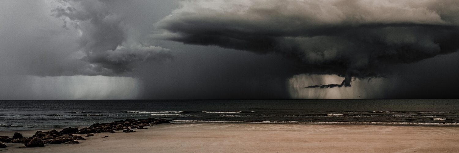
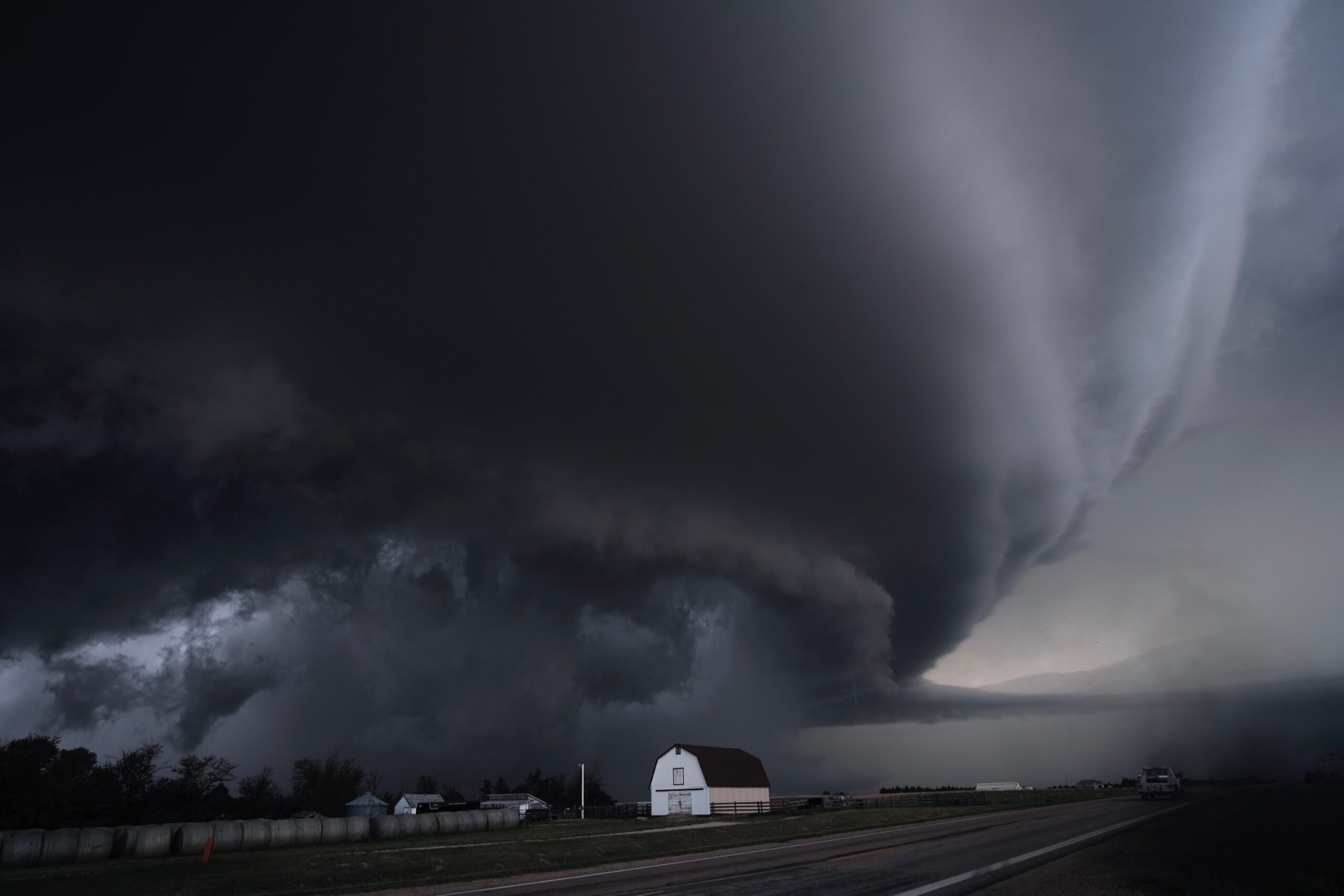
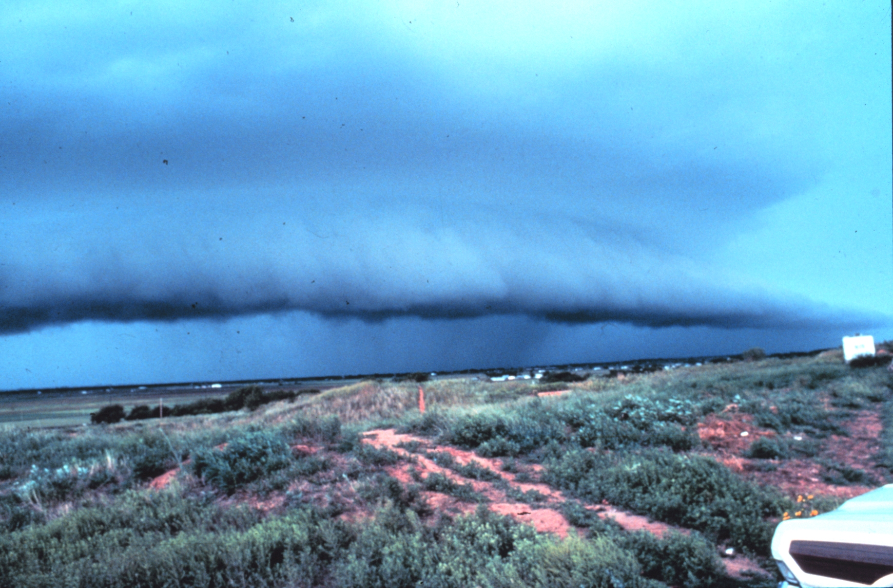
The mature stage brings the familiar burst of summer weather: heavy rain, lightning, gusty winds, and sometimes hail. Falling rain drags cooler air downward, forming a downdraft. When that rain-cooled air spreads outward along the ground, it can create a gust front. That gust front may make the air feel suddenly cooler and windier just before or during the storm, and it can also serve as a new lifting boundary for more storms.
Why the Pattern Is Common but Not Guaranteed
Afternoon thunderstorms are common in summer, but they are not automatic. If the air is too dry, growing clouds may evaporate before rain reaches the ground. If a warm layer aloft is strong enough, it can act like a lid that prevents surface air from rising freely. If morning storms leave behind widespread clouds, the ground may not heat enough to build strong instability later in the day.
Wind patterns also matter. Strong winds at different heights can organize storms and help them last longer, but they can also move storms away from the place where they formed. Weak winds may leave storms nearly stationary, raising the risk of localized heavy rain. In some regions, thunderstorms are more likely at night because larger weather systems, low-level winds, or plains storm complexes shift the timing away from the simple daytime-heating pattern.
Still, the afternoon pattern is a useful clue. A hot, humid morning with building cumulus clouds often means the atmosphere is being prepared. If the clouds keep growing upward instead of spreading flat, and if a boundary provides lift, the quiet part of the day can change quickly. The lesson is not that every summer afternoon will storm, but that thunderstorms often need several hours of heating before the atmosphere is ready to release its energy.
That is why summer weather can feel so changeable. The same sunlight that makes the day bright and warm can also help load the sky with rising air. Add moisture, instability, and a lifting boundary, and an ordinary afternoon can turn into a short, intense storm with rain, wind, lightning, and a cooler evening left behind.


Add comment