 Akshay Dinesh
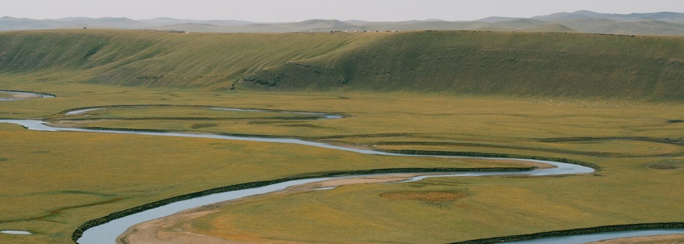
A river rarely behaves like a ruler line for long. Even on a flat map, many rivers curve, loop, swing back on themselves, and sometimes leave crescent-shaped lakes behind. Those curves are called meanders, and they are not random decorations on the landscape. They are the visible result of moving water, loose sediment, gravity, and time working together.
The basic idea is simple: water moves fastest along some parts of a channel and more slowly along others. Faster water can pull material away from a bank. Slower water drops sand, silt, or gravel where it no longer has enough energy to carry it. Once a small bend begins, that uneven pattern tends to strengthen the bend. Over years, decades, or centuries, a river can shift sideways across its floodplain, carving one bank while building another.
Geographers, hydrologists, and river engineers study meanders because they reveal how a river is spending its energy. The U.S. Geological Survey often describes stream channels in terms of flow, sediment, slope, and channel shape, because none of those pieces acts alone. A meander is where all of them become easy to see.
A river bend starts with uneven flow
A river channel may look smooth from above, but the water inside it is always moving in a complicated pattern. The current rubs against the riverbed and banks, slows near rough surfaces, speeds up where the channel gives it room, and responds to every small change in depth or slope. A buried log, a patch of resistant clay, a shallow bar of sand, or a slight dip in the bank can nudge the current away from a perfectly straight path.
Once water starts curving, the outside of the bend usually carries faster flow. The current has more momentum there and tends to press against the outer bank. That pressure can loosen soil, undercut roots, and carry particles downstream. The eroded outer edge is often called a cut bank because the river is literally cutting into it.
The inside of the same bend has a different job. Water there moves more slowly, so it drops some of the material it has been carrying. Sand and gravel can build a gently sloping point bar along the inner bank. The river is not only destroying land on one side. It is also building land on the other side, grain by grain.
Erosion and deposition make the curve grow
Meanders become stronger because erosion and deposition reinforce each other. At the outside edge, faster water removes material and makes the bend wider. At the inside edge, slower water lays down sediment and pushes the shallow bar outward. The channel shifts sideways, and the path of the river becomes longer and more curved.
This is why meanders are common in low-gradient landscapes, where a river does not drop steeply from high ground to low ground. A steep mountain stream often has enough slope to rush through a narrow valley, tumble over rocks, and cut downward. A river crossing a broad plain has less downward slope, so more of its energy can go into moving side to side. Instead of slicing straight down, it wanders across the floodplain.
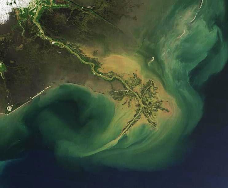
The National Park Service describes many floodplains as active landscapes shaped by flowing water and sediment, not simply flat land beside a channel. That point matters. A meandering river is not separate from its floodplain. During high water, it may spill over its banks, spread sediment across nearby land, and renew soils. During ordinary flow, it continues to adjust its channel from within.
Small changes can matter. If a flood removes vegetation from an outer bank, erosion may speed up there. If roots hold a bank firmly, the curve may migrate more slowly. If the river receives more sediment from upstream, point bars may grow. If dams trap sediment or change flood timing, the balance between erosion and deposition can shift.
Meanders migrate across floodplains
A meander is not a fixed feature, even when it seems stable during a single visit. Over time, the bend can move downstream and sideways. The outer bank keeps retreating as it erodes, while the inner bank keeps gaining new sediment. Old point bars may show up as curved ridges across a floodplain, like faint fingerprints left by earlier positions of the river.
This migration is one reason river valleys can contain rich, complicated soils. Floodwater spreads fine sediment over the land, and abandoned channels may become wetlands, ponds, or low swales. Farmers, ecologists, city planners, and flood managers all care about these traces because they show where the river has been and where it may try to go again.
Meander movement can also create problems for people. A house, road, bridge, or field built close to an outer bank may seem safe for years, then gradually find itself closer to the water. Riverbank erosion is not always dramatic like a landslide. Sometimes it is a quiet loss of inches or feet during repeated high-flow events. The map changes slowly until a familiar edge is no longer where people expected it to be.
That does not mean rivers are doing something wrong. From the river’s point of view, channel movement is part of staying in balance with water, slope, sediment, and the material of the banks. Trouble begins when human plans assume the channel will stay in one place forever.
How oxbow lakes form
As a meander grows, the neck of land between two parts of the loop can become narrow. During a flood, fast water may cut across that neck and take the shorter route. Once the river begins using the cutoff path, the old loop receives less current. Sediment gradually plugs the entrances, and the abandoned curve can become an oxbow lake.
Oxbow lakes are common signs of a river that has changed course. Their crescent shape records the former path of the channel. Some hold water year-round. Others fill with sediment and vegetation until they become marshy wetlands or low ground that only fills during floods.
The process also shows why a river’s shortest path is not always its long-term path. A meander can make the channel longer for a while, then a cutoff suddenly shortens it. After that, new bends may begin forming again. The river keeps adjusting rather than reaching one final design.
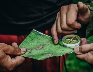
For students reading a map, oxbow lakes are useful clues. A curved lake near a river is often evidence that the main channel used to pass through that curve. A chain of curved scars across a floodplain can tell a quiet story about repeated channel migration, flood events, and sediment deposits.
Why meanders matter beyond the map
Meanders shape habitats. Fast outer-bank water, shallow point bars, backwaters, wetlands, and cutoff lakes create different places for plants, fish, insects, birds, and amphibians. A straightened channel usually has fewer of these varied edges. A winding river, by contrast, can support a patchwork of habitats because its bends create many kinds of depth, speed, shade, and sediment.
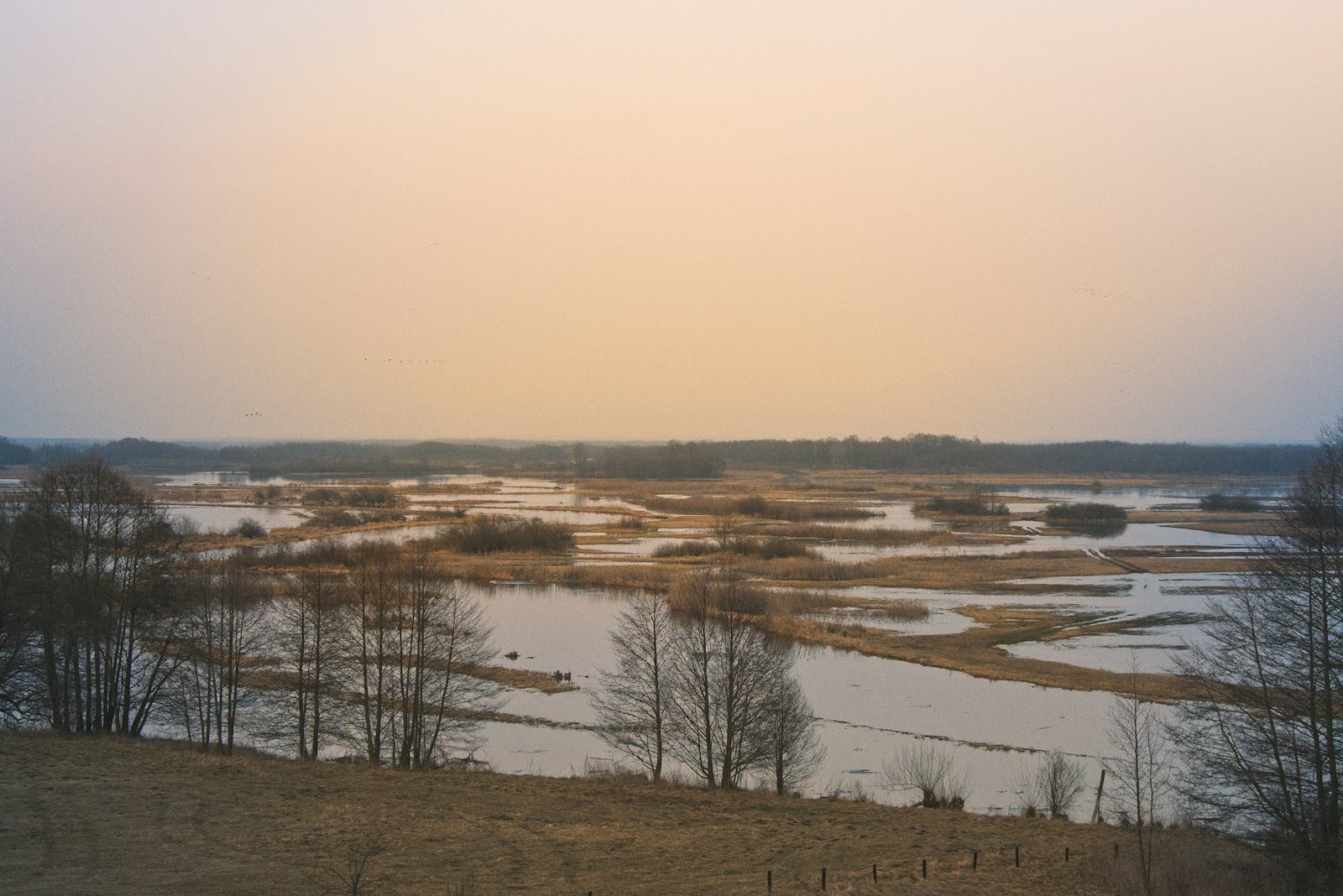
Meanders also affect flood behavior. A winding channel can slow the movement of water compared with a straightened channel, though flood risk depends on many conditions, including rainfall, soil moisture, valley shape, land use, and upstream storage. Floodplains that still have room for water can spread and store high flows. Floodplains cut off by levees, pavement, or tight development may pass risk downstream or concentrate damage in narrower spaces.
Many communities have tried to straighten rivers to protect land, improve navigation, or move water away quickly. Sometimes engineering is necessary, especially where lives and infrastructure are at risk. But straightening a river can increase flow speed, reduce habitat, deepen erosion, and disconnect the river from the floodplain that once absorbed water and sediment. River restoration projects often try to recover some natural channel shape because bends, bars, and floodplain connections are not just scenic. They are part of how the river works.
Reading a river’s curves
Meanders are a reminder that landscapes are built by processes we can observe. A river bend shows where water is fastest, where sediment is settling, where banks are vulnerable, and where the channel may move in the future. The pattern may look graceful from above, but it comes from ordinary physical forces repeated again and again.
That is what makes a meandering river such a useful geography example. It connects a simple question, why does the river bend, to a larger lesson about Earth systems. Water does not only flow through a landscape. It edits the landscape as it moves, carrying pieces away from one place and setting them down in another. A river’s curves are the record of that ongoing work.