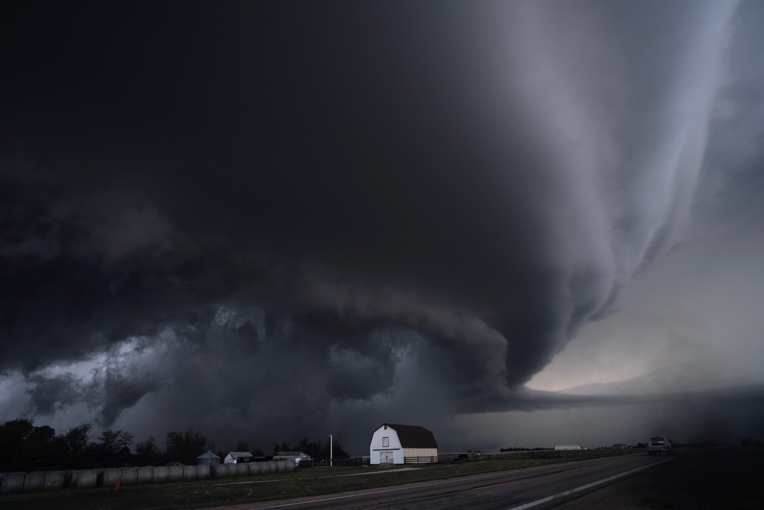
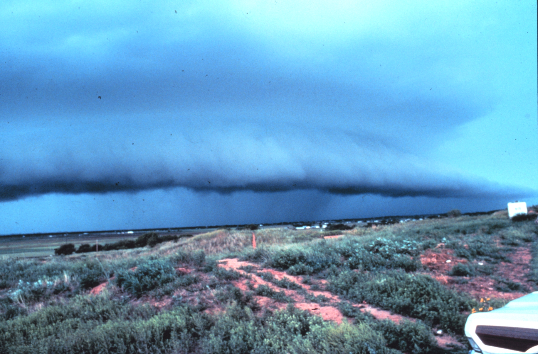
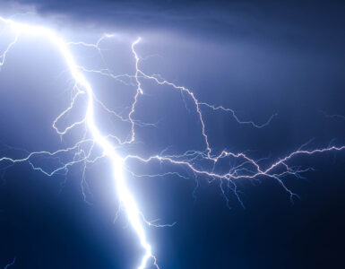
A thunderstorm can look like one dark mass from the ground, but inside it, air may be rising, sinking, spreading, and twisting at the same time. That hidden motion is what makes severe weather so difficult to judge by sight alone. Rain curtains may block the most dangerous part of the storm, darkness may hide the cloud base, and a tornado can begin forming before anyone nearby has a clear view.
Doppler radar gives forecasters a way to read some of that motion from a distance. It does not show a tornado as a simple icon on a screen, and it does not make warning decisions automatic. What it can do is send out pulses of energy, listen for what comes back, and reveal patterns in precipitation and wind that help meteorologists decide whether a storm is becoming organized enough to threaten people on the ground.
Radar Starts by Finding What Is in the Air
Weather radar works by sending radio-wave pulses into the atmosphere. When those pulses hit raindrops, hailstones, snowflakes, insects, or other small targets, some of the energy scatters back toward the radar dish. The radar measures that returned signal and turns it into information about where precipitation is and how strong the return appears.
The most familiar radar view is reflectivity. On many radar maps, reflectivity is the colorful field that shows light rain, heavy rain, hail cores, and storm shape. Stronger returns often mean larger or more numerous particles in the air, which is why intense storms can show bright colors. Reflectivity is useful because it can reveal a storm’s structure, including heavy precipitation wrapped around an updraft or a hook-shaped area on the back side of some supercells.
But reflectivity mostly answers a location-and-intensity question: where are the targets, and how strongly are they reflecting energy? It does not directly tell whether the air inside the storm is moving toward the radar, away from it, or rotating. For that, forecasters need velocity data.
That difference matters during severe weather. A storm can contain heavy rain without strong rotation, and a rotating storm may hide its most important wind pattern inside a messy-looking area of precipitation. A forecaster usually has to compare several radar products, surface observations, spotter reports, and the surrounding weather setup before deciding what the storm is likely to do next.
The Doppler Shift Turns Motion Into a Signal
Doppler radar uses the same basic idea people notice when a siren changes pitch as it passes. Waves from something moving toward an observer become compressed, while waves from something moving away become stretched. In weather radar, the radar is not listening for sound. It is measuring tiny changes in the returned radio-wave signal after the pulse bounces off moving precipitation.
If raindrops or hailstones are moving toward the radar, the returned signal shifts one way. If they are moving away, it shifts the other way. Radar software translates those shifts into radial velocity, which means motion along the line between the radar and the target. That last phrase is important: a radar can measure motion toward or away from itself more directly than motion across its view.
Velocity images often use contrasting colors for inbound and outbound winds. Many National Weather Service training pages describe green colors as winds moving toward the radar and red colors as winds moving away, though exact color tables can vary by display. A broad area of one color may simply show wind blowing across a region. A tight area where strong inbound and outbound winds sit close together can be more concerning because it may point to rotation.
That is why knowing the radar’s location matters. The same storm can look different depending on whether the radar sits north, south, east, or west of it. A wind moving eastward may be moving away from one radar, toward another, and partly sideways from a third. Radar interpretation is not just reading colors; it is reading colors from a particular point of view.
Rotation Appears as a Velocity Couplet
When a thunderstorm rotates, winds on one side of the circulation may be moving partly toward the radar while winds on the other side are moving partly away. On a velocity display, that can create a couplet: two nearby areas of opposite wind direction. The stronger, tighter, lower, and more persistent that couplet becomes, the more attention it deserves.
Large rotating updrafts inside supercell thunderstorms are called mesocyclones. The National Severe Storms Laboratory describes a mesocyclone as much larger than the tornado that may form within it, often several miles wide. A mesocyclone does not guarantee a tornado, but it tells forecasters the storm has organized rotation, strong updraft support, and a structure that can produce severe hazards.
A smaller, tighter radar velocity pattern is known as a tornado vortex signature. NSSL researchers identified this kind of signature in Doppler velocity data, and it became one of the major advances behind modern tornado detection. A tornado vortex signature can appear above the ground before a tornado reaches the surface. It raises concern, but it still has to be interpreted with storm context, radar quality, and other evidence.
Rotation is not the only feature forecasters watch. Hook echoes in reflectivity, debris signatures in dual-polarization data, storm-top divergence, outflow boundaries, and rapid changes in storm structure can all add clues. The warning process is a judgment built from several pieces, not a single red-and-green pattern taken in isolation.
Why Radar Can Suggest Danger Without Proving a Tornado
One common misunderstanding is that radar can simply see every tornado. It cannot. A radar beam rises higher above the ground as it travels away from the radar, partly because of Earth’s curvature and partly because the beam is aimed at small elevation angles. Far from the radar, the beam may be sampling thousands of feet above the surface. A low-level circulation can be missed, blurred, or appear weaker than it really is.
The beam also widens with distance. Close to the radar, a small circulation may fill enough of the beam to appear sharp. Farther away, the same circulation is averaged with nearby air inside a broader beam. That makes range one reason meteorologists treat radar signatures differently depending on where the storm is.
Radar also measures targets, not empty air. It depends on rain, hail, debris, insects, or other scatterers to return a signal. If a storm has poor sampling in the lowest levels, if the circulation is wrapped in complex precipitation, or if nearby storms interfere with the pattern, the display can become harder to interpret. Forecasters have to separate meaningful signals from noise, distance effects, and storm geometry.
Dual-polarization radar adds another major clue by sending and receiving pulses in horizontal and vertical orientations. That helps distinguish types of targets. When a damaging tornado lofts debris, dual-pol data may show a concentrated area where objects of many shapes and sizes are being carried by the storm. That debris signature can increase confidence that a tornado is on the ground, especially at night, but weaker or distant tornadoes may not produce an obvious signal.
How Radar Fits Into Warning Decisions
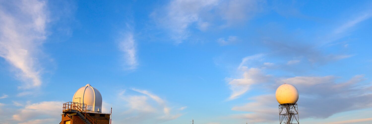
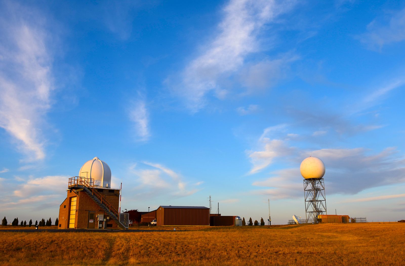
The United States’ NEXRAD network, built around WSR-88D radars, gives National Weather Service offices a repeated three-dimensional scan of storms. In precipitation mode, a radar scans through several elevation slices, building a volume of data that can show how a storm changes with height. That vertical view helps forecasters ask whether rotation is shallow and brief or stronger through multiple levels of the storm.
Warning decisions also use the environment around the storm. Wind shear, instability, boundaries, humidity, storm mode, and time of day all shape what radar signatures mean. A velocity couplet embedded in a supercell on a day with strong low-level shear carries a different level of concern than a weak, brief couplet in a messy line of showers. The radar pattern matters, but the atmosphere around it gives the pattern meaning.
Human reports still matter too. Trained storm spotters, emergency managers, public reports, cameras, and damage information can confirm what radar suggests or reveal hazards that radar has not sampled well. NSSL notes that spotters are trained to recognize tornado conditions and report what they see to the National Weather Service. The best warning information often comes from radar and ground truth working together.
For a reader watching radar during severe weather, the practical lesson is humility. Red and green touching on a velocity display can be important, but it is not a do-it-yourself warning system. Official warnings combine radar signatures with meteorological training, local context, and fast communication. When a tornado warning is issued, the safe response is to take shelter first and analyze the radar later.
What Doppler Radar Teaches About Hidden Storms
Doppler radar changed severe-weather forecasting because it made invisible wind motion partly visible. Instead of seeing only where rain was falling, meteorologists could look inside a storm and track inbound and outbound winds, organized rotation, and changes from scan to scan. That ability improved the way storms are monitored and gave communities more useful warning information.
Its limits are part of the lesson too. Radar is powerful, but it is not magic. Distance, beam height, storm structure, debris, precipitation type, and the angle between the wind and the radar all shape what appears on the screen. A good radar interpretation asks not only what the colors show, but where the radar is, what level of the storm is being sampled, and whether the pattern fits the larger weather setup.
That is what makes Doppler radar such a strong example of science in public life. It turns physics into practical evidence, but the evidence still needs expert interpretation. In a rotating thunderstorm, the most important motion may be hidden behind rain or darkness. Radar gives forecasters a way to see enough of that hidden motion to warn people sooner, while reminding everyone that severe weather is best treated with respect before the danger is obvious from the ground.


Add comment