 Akshay Dinesh
A hurricane does not stop being dangerous the moment it crosses the shoreline. Winds can still tear at trees and roofs, rain can keep falling for hours, and flooding can spread far inland. But the storm usually begins losing strength after landfall because the system has been cut off from the warm ocean engine that built it.
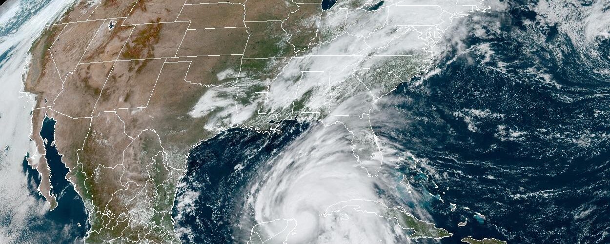
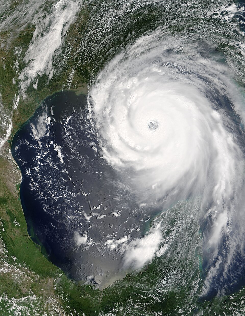
That weakening can feel confusing when a storm still looks huge on radar or satellite images. The cloud shield may stretch across several states, and the rainbands may keep rotating around the center. The key difference is that the storm is no longer being fed in the same way. Over the ocean, a hurricane can draw heat and water vapor from a broad, warm surface. Over land, that fuel supply fades, the air near the center often becomes drier, and the rougher surface slows the low-level winds that help keep the circulation organized.
The Ocean Is the Storm’s Main Fuel Source
Hurricanes are sometimes described as heat engines. They form over warm tropical or subtropical water, where evaporation sends water vapor into the air. As that moist air rises and condenses into clouds and rain, it releases latent heat. That released heat warms the storm’s core, lowers the air pressure near the center, and helps air rush inward near the surface.
NOAA explains that hurricanes weaken when they move over land or cooler water because they lose contact with the hot water that powers them. NASA’s hurricane education materials make the same point in simpler classroom language: tropical cyclones are usually weakened after landfall because warm ocean water is no longer feeding them. The storm can still carry energy inland for a while, but it is spending stored energy faster than it can replace it.
This is why sea surface temperature matters so much before landfall. Warm water does not merely sit underneath the storm; it keeps supplying heat and moisture to the air spiraling inward. If that supply is deep and warm, a storm may strengthen. If the center moves over land, shallow coastal water, cooler water, or water churned cooler by the storm itself, the engine loses efficiency.
Land Cuts Off Moisture and Adds Drier Air
Heat is only part of the story. A hurricane also depends on moisture. Over the ocean, the storm draws in humid maritime air from the surface. Over land, especially a large continent, the air feeding into the circulation is often less moist. NOAA’s Atlantic Oceanographic and Meteorological Laboratory notes that a hurricane moving onto a continent is cut off from warm, moist maritime air and may begin drawing in drier continental air.
Drier air can disrupt the thunderstorms wrapped around the center. A healthy hurricane needs strong convection near its core, where rising air, condensation, and pressure falls reinforce one another. When dry air slips into that core, some rising parcels evaporate more cloud and rain before they can build tall thunderstorms. Evaporation cools the air, making it harder for the storm to maintain the warm core that supports low pressure.
The effect is not instant because the storm is large and already rotating. Rainbands can keep pulling moisture from lakes, wetlands, rivers, and remaining ocean air if the circulation is still close to the coast. Some storms also move quickly enough that they stay organized for several hours inland. But over time, the missing ocean moisture usually shows up as a ragged eye, weaker rainbands near the center, and rising central pressure.
Friction Over Land Slows the Circulation
The ocean surface is not perfectly smooth, but it is much smoother than forests, cities, hills, crops, and mountains. When a hurricane moves over land, the rougher surface creates more friction near the ground. That friction slows the surface winds and interrupts the smooth inward spiral of air toward the low-pressure center.
Friction is not the only reason hurricanes weaken after landfall, and it is often less important than the loss of ocean heat and moisture. Still, it matters. Slower low-level winds mean the storm cannot move air around the center as efficiently. The circulation becomes less symmetrical, the eye may fill with clouds, and the strongest winds may break into uneven pockets instead of forming a tight ring around the center.
Terrain can make the process much faster. A storm crossing flat wetlands may weaken more gradually than one moving across mountains. Mountains force air upward, disturb the circulation, and can wring out tremendous rainfall on windward slopes. Islands with steep terrain can disrupt a tropical cyclone even before it reaches a continent, which is why a storm’s exact track across mountains can make a large difference in its forecast strength.
Weakening Does Not Mean the Hazard Is Gone
The word weaken can be misleading if readers hear it as safe. A hurricane can drop from hurricane strength to tropical storm strength and still cause serious problems. Wind damage often decreases as the circulation loses its tight core, but heavy rain may continue, rivers may rise, and saturated ground can make trees fall more easily even in lower winds.
Inland flooding is often the main danger after landfall. A slower-moving storm may keep pulling moisture inland and dropping rain over the same area. The center can weaken while the rain shield expands, especially when the tropical air interacts with fronts or other weather systems. In that situation, the storm’s category at landfall tells only part of the story.
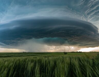
Tornadoes can also occur in outer rainbands after landfall, especially on the right-front side of a storm in the Northern Hemisphere. These tornadoes are usually shorter-lived than the large tornadoes associated with classic Great Plains supercells, but they can form quickly and be hard to see in heavy rain. The larger point is simple: a weakening tropical cyclone is still an organized weather system, not ordinary bad weather.
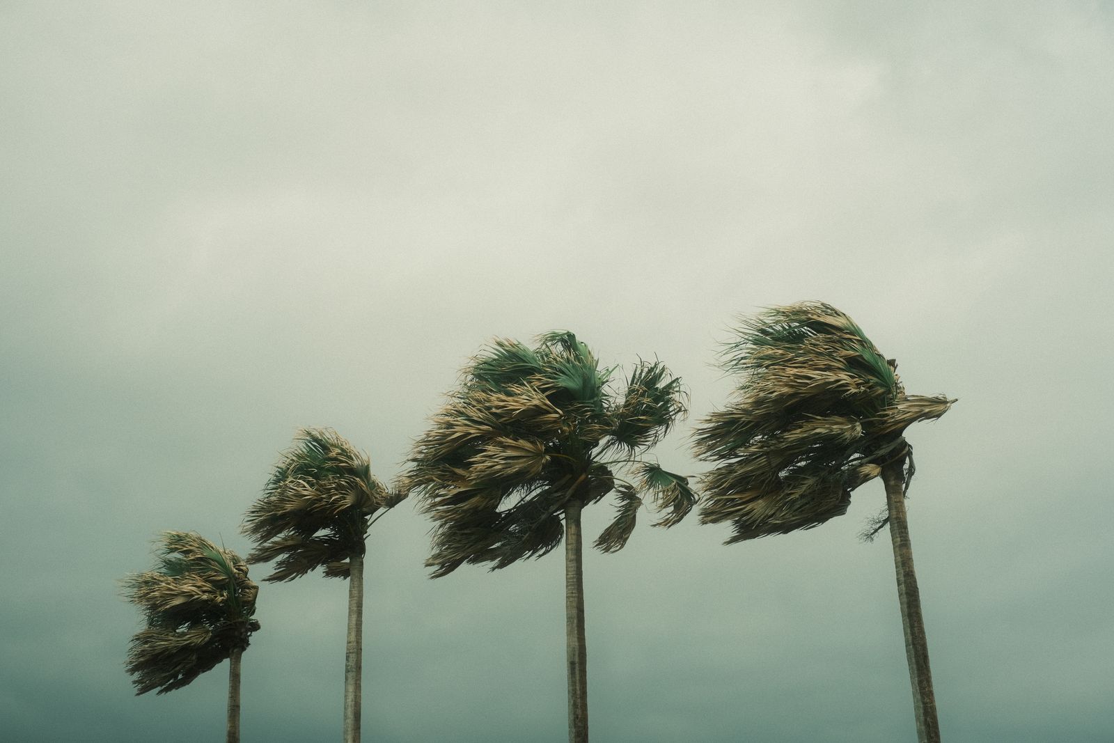
Some Storms Weaken Slowly
Not every landfalling hurricane fades at the same rate. Forward speed matters. A fast-moving storm may carry hurricane-force winds well inland before friction and dry air have enough time to tear down the core. A slow storm may lose wind speed near the center while producing a much larger rainfall disaster because it lingers over one region.
The shape and wetness of the land also matter. Marshes, bays, and flat coastal plains cannot feed a hurricane the way a deep warm ocean can, but they may slow the loss of moisture compared with dry interior land. A storm crossing a narrow peninsula or island may spend only a short time away from open water before reemerging and reorganizing. Forecasters watch these details carefully because a slight change in track can decide whether the center spends hours over land or returns quickly to the ocean.
Wind shear, cooler water, and interaction with other weather systems can either speed up weakening or change the storm into a different kind of cyclone. As tropical systems move poleward, they may begin drawing energy from temperature contrasts rather than from a warm ocean surface alone. That transition can spread wind and rain over a wider area even while the storm loses its classic hurricane structure.
The Simple Rule Has an Important Exception
The basic rule is reliable: hurricanes usually weaken over land because land removes the ocean heat and moisture source, adds rougher surface friction, and often introduces drier air or disruptive terrain. The exception is that hazards do not weaken on the same neat schedule as the category number. Wind, rain, storm surge near the coast, tornadoes, and river flooding each respond to different parts of the storm.
That is why forecasts after landfall still matter. A storm’s center may be weakening, but the rain field may be expanding, the flood threat may be moving inland, and gusty winds may still be strong enough to knock out power. The science behind weakening helps explain the storm’s decline, but it also gives a useful warning: landfall is a turning point, not an ending.