 Akshay Dinesh
Spring owns the familiar image of tornado season, but the atmosphere does not follow a one-season calendar. Across parts of the Gulf Coast, lower Mississippi Valley, and Mid-South, tornado and damaging-wind activity often rises again in late fall. Meteorologists sometimes call this a secondary severe weather season. It is generally smaller and more regional than the spring peak, yet it can produce fast-moving storms after dark, when many people are least prepared to receive a warning.
The return is not caused by autumn itself. It happens when several ingredients that faded during midsummer come together again: warm, humid air near the ground, a strong approaching weather system, lift along a front, and winds that change speed or direction with height. Understanding that setup explains why a mild November afternoon can turn stormy by evening even as trees are losing their leaves.
A second season, but not everywhere
“Fall severe weather season” is a regional climate pattern, not a rule for the entire United States. National Weather Service offices along the central Gulf Coast describe a secondary season that commonly runs from November into December. Offices serving the Tennessee Valley, Arkansas, southeast Louisiana, coastal Mississippi, and neighboring areas also show an autumn bump in their local tornado records. Farther north or west, the timing and strength of any fall peak can look quite different.
Local numbers make that point clearer. The National Weather Service office in Little Rock examined 891 Arkansas tornadoes from 2000 through 2022 and found that 339, or 38 percent, occurred from September through February. That wide fall-and-winter window should not be treated as a national statistic, but it shows why southern communities cannot pack away their severe-weather plans after spring. The Paducah, Kentucky, office is highlighting the same risk during its 2026 Fall Severe Weather Safety and Preparedness Campaign from September 28 through October 2.
Climatology describes what has happened over many years; it does not predict a storm on a particular date. A region can pass through an entire autumn with little severe weather, then experience an active fall the next year. Daily forecasts still depend on the actual position of moisture, fronts, low-pressure systems, and winds aloft.
How fall rebuilds the storm ingredients
A strong thunderstorm needs three basic ingredients: moisture, unstable air, and lift. Severe storms also become more organized when wind shear is present. Wind shear means that wind changes with height. When winds near the ground and winds several miles above it differ in speed or direction, a storm’s updraft can tilt and sometimes rotate instead of collapsing onto itself.
During summer, warm air may be deep and widespread, while the strongest jet-stream winds stay farther north. Ordinary afternoon thunderstorms can be frequent, but some areas lack the powerful upper-level weather systems and sharp fronts that help organize large severe-weather episodes. As fall advances, the contrast between cooling continental air and lingering warmth to the south grows. The jet stream and its traveling disturbances begin pushing farther south again.
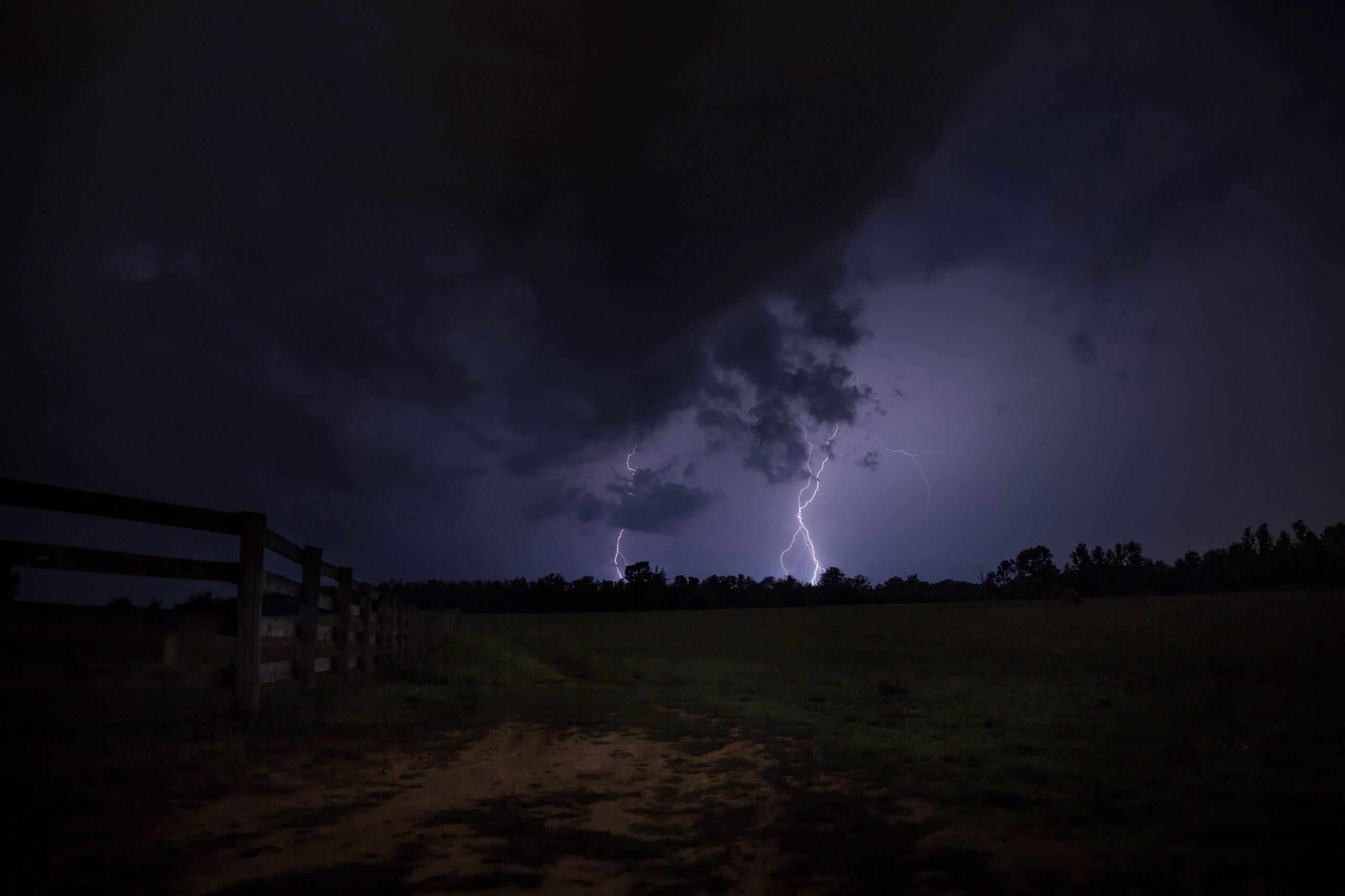
Meanwhile, the Gulf of Mexico can continue supplying warm, moisture-rich air northward. An approaching low-pressure system may pull that air into the lower Mississippi Valley before a cold front arrives. Air forced upward along the front can form thunderstorms, while stronger winds aloft provide shear. The National Weather Service office serving southeast Louisiana and coastal Mississippi describes this meeting of Gulf moisture with cold fronts or upper-level disturbances as a common fall setup.
The ingredients do not have to resemble a hot spring afternoon. A cool-season storm may develop with less buoyant energy than a classic Plains supercell but much stronger wind shear. Meteorologists sometimes refer to these as low-instability, high-shear environments. They can favor quick-moving lines of storms, embedded areas of rotation, damaging straight-line winds, and tornadoes that are hard to see through rain or darkness.
Why a smaller season can still be dangerous
The spring peak usually produces more tornadoes across the country, so calling fall a second season does not mean the two seasons are equal. Fall instability is often more limited because shorter days reduce surface heating and temperatures aloft may remain relatively warm. The jet stream also does not retrace its spring pattern in a perfect mirror image. These differences help explain why the autumn peak is weaker or absent in many places.
Storm count, however, is only one measure of risk. The Paducah National Weather Service office notes that some of its region’s strongest and deadliest tornado events have occurred in fall. A low-frequency hazard can still have severe consequences when storms move quickly, arrive at night, or catch people during a season they do not associate with tornadoes.
Fall storms may also produce more than tornadoes. The National Weather Service classifies a thunderstorm as severe when it produces wind gusts of at least 58 miles per hour, hail at least one inch in diameter, or a tornado. In cool-season systems, damaging winds can sweep through a broad area even when only a few brief tornadoes form. Heavy rain and lightning remain hazards too, regardless of whether a storm meets the severe threshold.
A watch means the atmosphere is favorable for severe thunderstorms or tornadoes across a broad area. It is a signal to stay alert and make sure shelter is accessible. A warning is more urgent: a hazardous storm has been detected by radar or reported, and people in the warned area should act immediately. The calendar does not change those meanings.
Nighttime changes the risk
Short autumn days give storms more hours to arrive after sunset. Cool-season weather systems can also continue moving and strengthening overnight rather than fading with daytime heating. That creates a serious communication problem. A sleeping person may not see lightning, hear an outdoor siren, or notice a phone notification that has been silenced.

Nighttime storms are also harder to judge visually. Darkness, trees, hills, heavy rain, and low cloud bases can hide a tornado. Looking outside for confirmation wastes the few minutes a warning is meant to provide. A tornado can be wrapped in rain or embedded inside a line of storms without displaying the neat funnel shape people expect.
Research and local records repeatedly show that nocturnal tornadoes are unusually dangerous. In the Paducah office’s long-term regional record, 119 of 131 tornado deaths occurred at night. That figure belongs to its specific warning area, not the whole country, but the lesson travels well: a reliable alert must be able to wake people.
Wireless Emergency Alerts should be enabled on every compatible phone, including alerts that bypass ordinary sound settings. A properly programmed NOAA Weather Radio adds a separate warning path if cellular service is weak or a phone is charging in another room. Families also need to know the safest nearby place before storms begin: a small interior room on the lowest floor of a sturdy building, away from windows. Mobile homes require a plan to reach a stronger shelter early, because leaving after a warning may be too late.
Read the setup, then act on the forecast
A fall severe-weather forecast often begins days ahead with a broad signal that an organized system may cross a moisture-rich region. Confidence usually improves as forecasters see where the warm sector, cold front, low-pressure center, and strongest winds aloft are likely to meet. The Storm Prediction Center’s outlooks help describe the larger risk area, while local National Weather Service offices refine timing, hazards, and community-specific guidance.
The most useful response is not to memorize a “fall tornado season” date range. Instead, treat the regional pattern as a reason to remain weather-aware after spring. On an outlook day, check the forecast before evening plans, know which county you are in, charge devices, and keep shoes and a flashlight near the shelter area. If a watch is issued, bring the plan closer to action. If a warning covers your location, shelter first and seek details afterward.
Autumn’s cooler air can feel like the end of thunderstorm season, but in parts of the South and Mid-South it can mark the return of an important atmospheric contrast. Warm Gulf moisture below, stronger winds above, and an advancing front can rebuild the machinery of severe weather. The fall peak is regional and usually smaller than spring’s, yet its speed, darkness, and surprise make it worth taking seriously.