Akshay Dinesh
Arctic sea ice follows a huge seasonal pulse. It spreads across the ocean through the dark winter, reaches its greatest area around March, then retreats under the summer sun until only a smaller cap remains in September. The lowest point is called the annual sea ice minimum, and it has become one of the clearest recurring measurements of a changing climate.
In 2026, the minimum arrived on September 12 at about 4.60 million square kilometers, or 1.78 million square miles, according to NASA and the National Snow and Ice Data Center. That tied 2008, 2010, and 2025 for the tenth-lowest minimum in the nearly 48-year satellite record. Tenth-lowest may not sound dramatic, especially beside the record set in 2012. The deeper signal is harder to dismiss: every one of the 20 lowest summer minimums has occurred in the 20 years from 2007 through 2026.
What scientists mean by sea ice extent
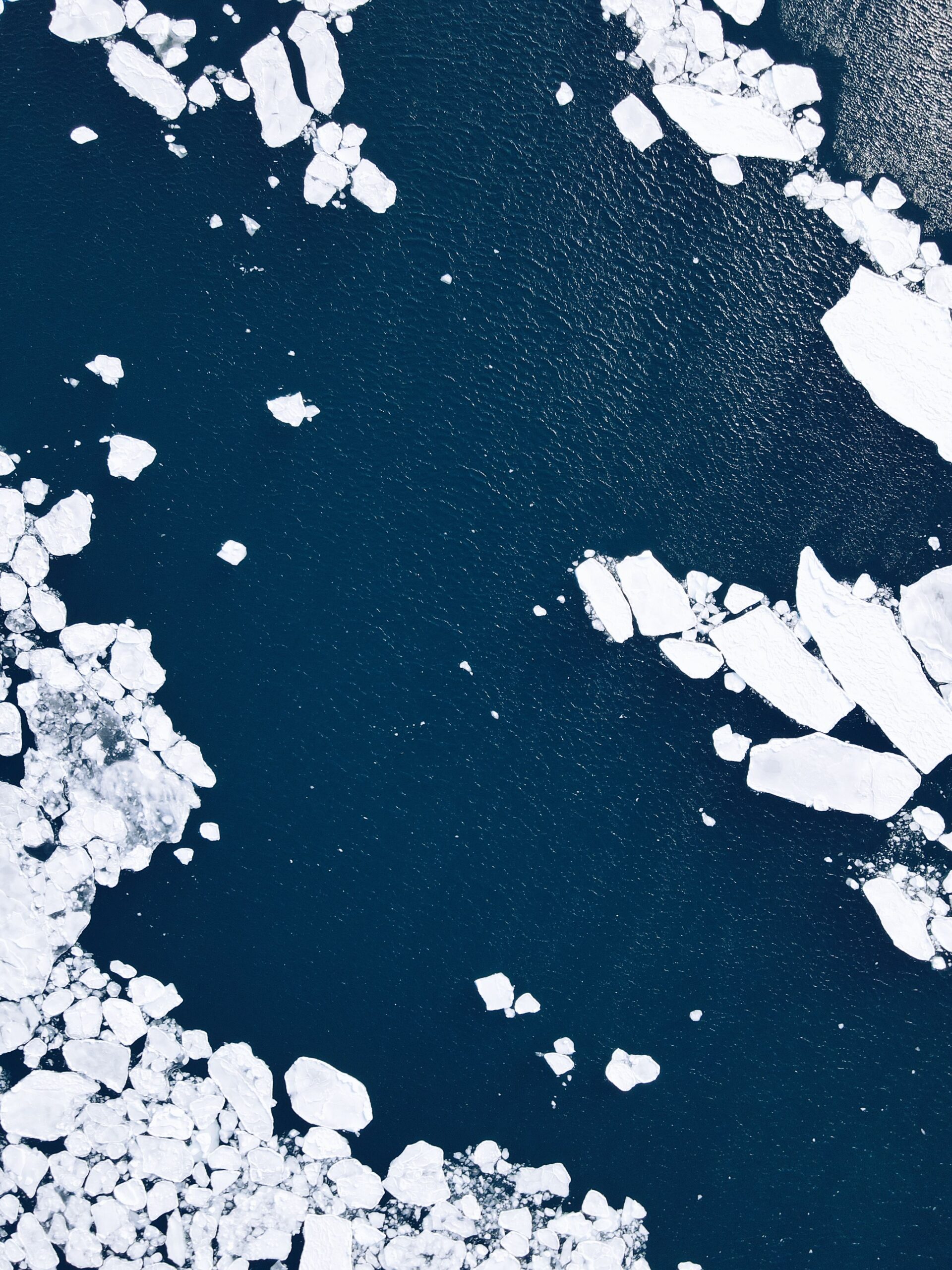
Sea ice is frozen ocean water, not a glacier or an ice sheet resting on land. Wind and ocean currents push it into a shifting mosaic of solid floes, cracks, narrow channels, and partly open water. That makes its area less straightforward to measure than the outline of a continent. Researchers therefore divide the ocean into grid cells and count a cell as ice covered when ice occupies a large enough share of it.
The resulting number is called extent: the total area of ocean containing at least a set concentration of ice. It is not the same as the area covered by ice alone, and it does not reveal how thick that ice is. A region with scattered floes can contribute to extent even though open water fills some of the cell. Extent remains valuable because scientists can calculate it consistently across a vast and difficult-to-reach ocean.
The “minimum” is not the smallest patch found during a single satellite pass. NSIDC identifies it from a five-day average, which smooths out some daily noise caused by weather, ice motion, and measurement uncertainty. The date can also be provisional for a while. A late storm may compact loose ice or another brief spell of melting may nudge the total lower before autumn freezing takes hold.
How satellites see ice through clouds and darkness
Routine Arctic measurement became possible in 1978, when satellites began providing a continuous record with passive microwave instruments. Every surface naturally emits microwave energy. Sea ice and open water have different microwave signatures, so sensors can distinguish them even when ordinary photographs would show only clouds. Microwave observations also work without sunlight, a crucial advantage during the polar night.
Different instruments have carried the record forward, including sensors on NASA’s Nimbus-7 and Aqua satellites, the U.S. Defense Meteorological Satellite Program, and Japan’s GCOM-W satellite. Scientists calibrate the data and use overlapping missions to keep the long record as consistent as possible. The method is not a simple photograph of a white cap. Melt ponds, wet snow, thin new ice, coastlines, and mixed ice-water cells can complicate the signal, which is why researchers use tested algorithms and compare multiple observations.
Extent is only one part of the story. Satellites, aircraft, drifting instruments, and models also help estimate ice thickness, ice age, motion, and volume. Those measurements show that much of today’s Arctic pack is younger and thinner than the ice that dominated several decades ago. First-year ice forms during one winter and is generally easier to melt the following summer. Multiyear ice has survived at least one melt season, often growing thicker and more resistant with time.
Why one summer can rise while the long trend falls
Climate describes patterns over decades, while weather can push an individual year around that pattern. A cool, cloudy summer may limit incoming solar energy. Persistent winds can spread ice over a wider area or drive it toward warmer water. Storms can break floes apart, stir heat upward from the ocean, or compress the pack into a smaller footprint. Snowfall matters too because fresh snow reflects sunlight but can also insulate the ice from cold winter air.
That variability helps explain why the minimum does not set a new record every year. The 2026 extent was 1.21 million square kilometers above the 2012 record low, yet it was still 1.62 million square kilometers below the 1981–2010 average minimum. NSIDC calculates a 1979–2026 downward trend of about 11.8 percent per decade relative to that average. A single higher year does not erase that slope, just as one cool day does not reverse a season.
Scientists have also noted that September minimum extent has not declined significantly over roughly the past two decades, after a steep drop earlier in the record. The reasons for that recent flattening remain an active research question. Cloud cover and other forms of natural variability can slow or speed losses for a time. Even during the flatter interval, however, every minimum after 2006 stayed below every minimum from 1979 through 2006. A pause in the rate of decline is not a return to the earlier Arctic.
A thinner ice pack changes the meaning of the map
Two years can have similar extents while hiding different physical conditions. Imagine two floors covered by rugs of the same outline: one rug is thick and tightly woven, while the other is thin and full of weak spots. A map would show the same footprint, but the thinner rug would be much easier to damage. In the Arctic, a pack dominated by young, thin ice is more vulnerable to warm water, sunlight, waves, and storms.
This is why scientists look beyond the annual ranking. The March 2026 winter maximum statistically tied 2025 for the lowest maximum in the satellite record. Less winter coverage gave the melt season a low starting point. At the same time, the continued loss of multiyear ice means that the remaining pack has less stored resilience, even when September extent happens to resemble that of a few recent years.
As bright ice retreats, darker ocean water absorbs more solar energy instead of reflecting it. The extra heat can warm the upper ocean and delay autumn freeze-up, creating the ice-albedo feedback. The process does not mean every local change feeds itself without limit, but it helps explain why warming in the Arctic can outpace the global average. Clouds, snow, ocean circulation, and heat moving in from lower latitudes all interact with that feedback.
Melting sea ice does not directly raise sea level in the way melting land ice does, because floating ice already displaces water. Its loss still matters. Sea ice shapes habitat for seals, polar bears, walruses, plankton, and other organisms. It affects travel and hunting routes for Arctic communities, exposes some coasts to larger waves, changes exchanges of heat and moisture between ocean and atmosphere, and opens water that can draw more shipping activity.
What the 2026 minimum does and does not tell us
The 2026 result is not evidence that Arctic sea ice suddenly recovered, nor is it the worst year ever observed. It is one measurement within a system that varies from season to season. Its value comes from placing it beside the other 47 years of satellite observations, the winter maximum, measurements of thickness and age, and the physical processes that determine how ice grows and melts.
“Ice-free Arctic” is also easy to misread. Scientists generally use the phrase for a September when sea ice extent falls below about one million square kilometers, not for an ocean with literally no ice anywhere. The Intergovernmental Panel on Climate Change has assessed that the Arctic is likely to experience at least one practically ice-free September before the middle of this century. The precise year cannot be read from a short run of annual rankings, because weather and natural variability will continue to move the line up and down.
The honest reading of 2026 is both measured and serious. Its minimum tied for tenth-lowest, not first. Recent September losses have flattened rather than accelerating without pause. Yet the summer ice still covered far less ocean than the late-20th-century average, the winter maximum was at a record-low level, and the remaining pack is increasingly young and thin. The annual minimum matters most not as a contest for a new record, but as one chapter in a long, consistent record of an Arctic moving away from the conditions in which that record began.