A phone map can feel so ordinary that it is easy to forget how much has to go right before the blue dot lands in the correct place. GPS receivers are listening for radio signals from satellites thousands of miles above Earth, measuring tiny differences in arrival time, and turning those measurements into a location. Most days, the system works so smoothly that a driver, hiker, pilot, or delivery app barely notices the physics behind it.
Solar storms can disturb that quiet chain. They do not usually make GPS vanish from a phone, and they are not the only reason a map dot can wander. Tall buildings, weak reception, indoor use, and ordinary satellite geometry can all cause location problems. But during active space weather, the upper atmosphere itself can become harder for GPS signals to pass through cleanly, and that can make precise navigation less reliable.

GPS depends on very careful timing
GPS is part of a broader family of satellite navigation systems often called GNSS, or Global Navigation Satellite Systems. The basic idea is simple, even though the engineering is remarkably precise. A satellite sends a signal that includes the time it was transmitted and information about where the satellite was in orbit. A receiver compares that sent time with the time the signal arrived, then uses the travel time to estimate distance.
One satellite can tell a receiver that it is somewhere on a huge sphere of possible positions. Several satellites together narrow the answer. With enough clean signals, the receiver can calculate latitude, longitude, altitude, and time. The timing part is essential because radio waves travel at the speed of light. A delay of only a tiny fraction of a second can turn into a noticeable position error.
Modern GPS does not rely on one perfect measurement. Receivers check multiple satellites, use mathematical corrections, compare signal quality, and often combine GPS with Wi-Fi, cell towers, motion sensors, and map data. That is why a phone can still seem usable when one source of location information is imperfect. High-precision users, such as surveyors, farmers using automated equipment, offshore operators, and aviation systems, have less room for error. A small signal delay that means little to a casual driver may matter a lot when equipment is trying to measure position within inches.
The ionosphere is where space weather gets in the way
Between the satellites and the receiver sits the ionosphere, a region of the upper atmosphere filled with charged particles. It begins roughly tens of miles above Earth and extends far upward, changing with sunlight, season, location, and solar activity. GPS signals can pass through it, but they do not pass through as if it were empty space. The charged particles slightly slow and bend the radio waves.
On calm days, GPS systems can model much of this delay. The trouble comes when the ionosphere changes quickly or unevenly. NOAA’s Space Weather Prediction Center explains that geomagnetic storms can increase the total number of electrons along the signal path, known as total electron content. When that electron content shifts rapidly, a receiver’s normal correction model can fall behind the real conditions.
That is the core reason a solar storm can reduce GPS accuracy. The receiver is still doing math, but one of its assumptions has become less steady. It may treat a delayed signal as if the satellite were slightly farther away than it really is. When several signals are delayed by different amounts, the position estimate can drift, jump, or become less trustworthy.
Solar flares and coronal mass ejections cause different problems
Not every solar event affects GPS in the same way. A solar flare is a burst of electromagnetic radiation from the Sun. Because that radiation travels at the speed of light, it can affect the sunlit side of Earth within minutes. Strong flares can cause radio blackouts by changing the ionosphere quickly enough to absorb or disrupt certain radio signals.
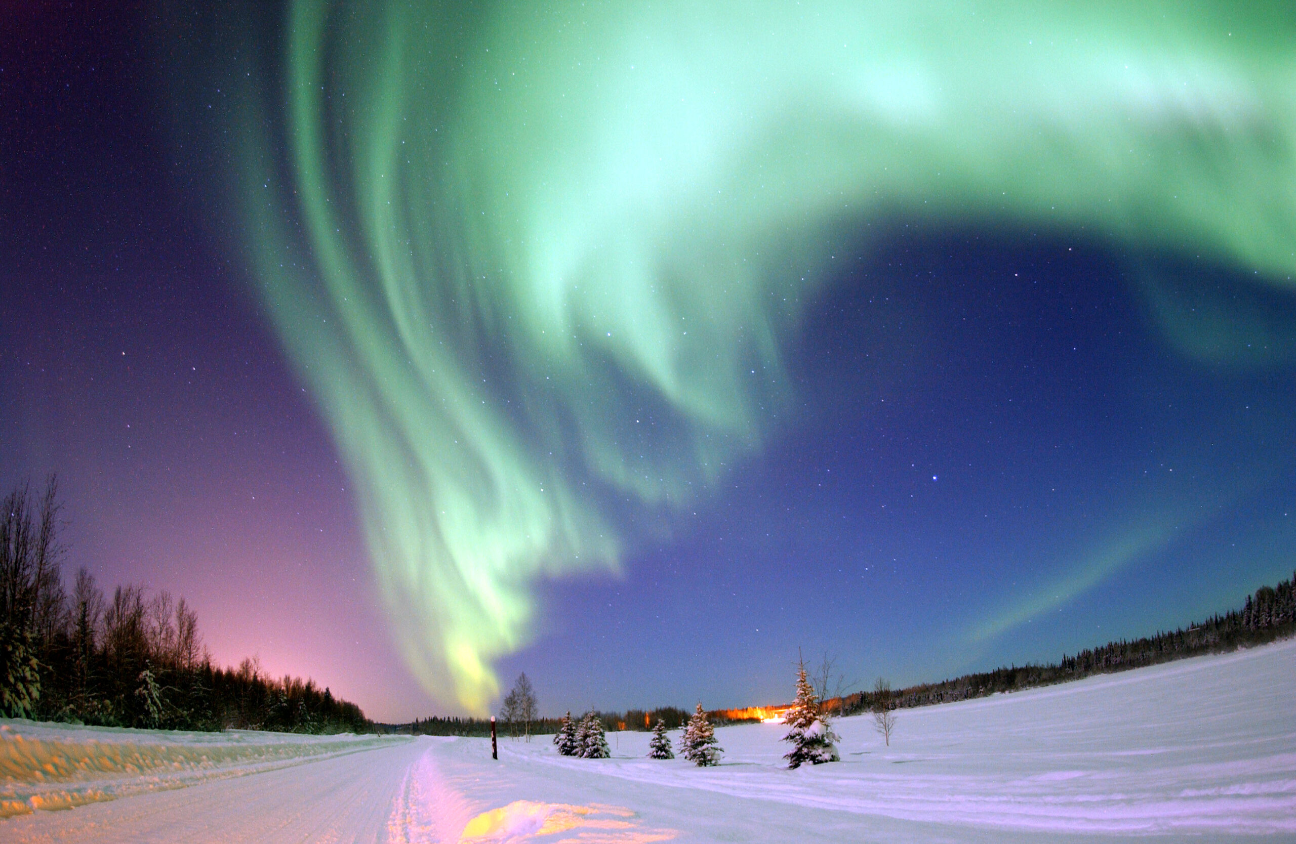
A coronal mass ejection, or CME, is different. It is a huge cloud of magnetized plasma thrown from the Sun. A CME usually takes much longer to reach Earth, often on the scale of one to several days. If its magnetic field connects strongly with Earth’s magnetic field, it can trigger a geomagnetic storm. That storm can energize the upper atmosphere, expand auroras toward lower latitudes, disturb radio communication, and make satellite navigation less dependable.
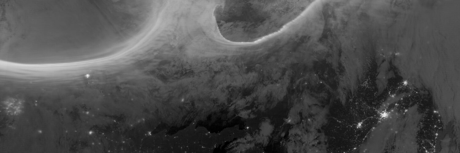
The most visible sign of this process is often an aurora, but the same disturbance that paints the sky can also disturb invisible signals. NOAA’s geomagnetic storm scale runs from G1 to G5. At the stronger levels, NOAA lists satellite navigation problems among the possible impacts, ranging from intermittent issues to degraded navigation for hours or even longer during severe events. Those descriptions are not meant to make ordinary users panic. They show that GPS is part of a larger technological environment affected by the Sun.
Why phones may behave differently from professional GPS systems
A regular phone user may not notice a solar storm at all. Phones rarely depend on GPS alone. They may blend satellite signals with nearby Wi-Fi networks, cellular information, Bluetooth beacons, inertial sensors, and map matching. If the GPS estimate becomes noisy, the phone can sometimes hide the problem by leaning more heavily on other clues.
That does not mean the error disappeared. It means the device has several ways to smooth the experience. A navigation app may still place a car on the correct road because it knows the road network and assumes the user is probably traveling along it. A hiker in open land, a boat offshore, or a survey receiver on a construction site may not have that same helpful context.
Professional systems often need both accuracy and confidence. Surveying, precision agriculture, aviation, shipping, emergency response, and timing networks can depend on satellite navigation in ways that are more demanding than ordinary phone directions. Some of these systems use dual-frequency receivers, correction services, ground reference stations, or backup procedures. Those tools help, but they also explain why space weather forecasts matter: the people who need the most precision need warning when the signal environment is becoming unstable.
GPS problems are usually temporary, but they are worth understanding
Solar-storm GPS errors are not permanent damage to the GPS constellation. They are usually temporary signal problems caused by changing conditions between the satellite and the receiver. Once the ionosphere settles, ordinary accuracy often improves again. The timing depends on the strength of the event, the user’s location, the time of day, and the kind of receiver being used.
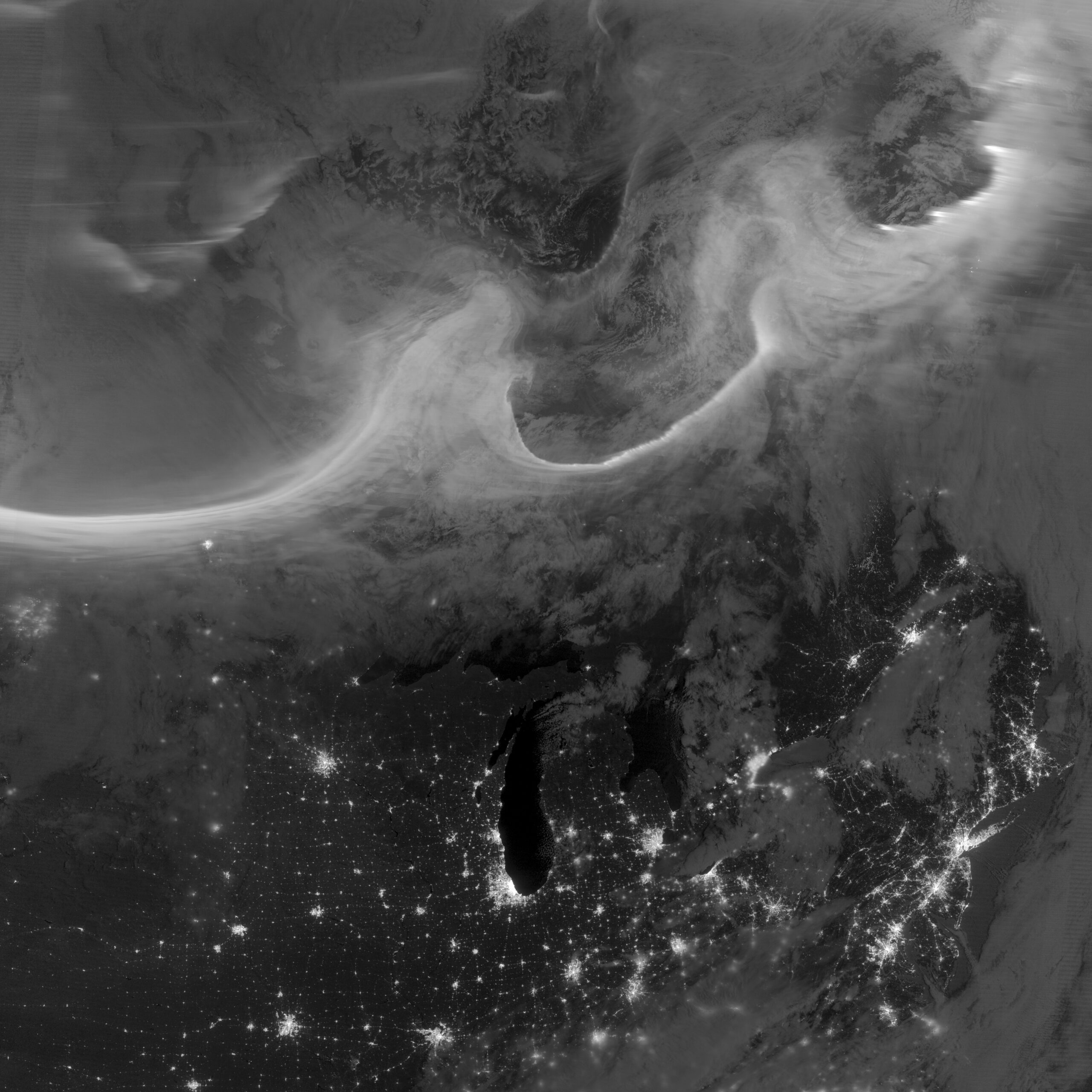
Location also matters. High latitudes are often more vulnerable because geomagnetic activity is stronger near the polar regions. During major storms, problems can spread farther toward the middle latitudes. The sunlit side of Earth can be more affected by flare-related radio problems, while geomagnetic-storm effects can continue as the upper atmosphere responds to incoming solar material.
For everyday users, the practical habit is simple: treat navigation as useful information, not as magic. If a map dot suddenly jumps, a route seems odd, or a device struggles to settle on a location during a space-weather alert, it may help to wait, move to a clearer view of the sky, compare with landmarks, or use another navigation source. For professional users, the answer is more formal: monitor space-weather alerts, understand the receiver’s limits, and keep backup procedures ready when precision matters.
The Sun is part of Earth’s technology story
GPS can feel like a purely human invention: satellites, atomic clocks, receivers, software, and maps. Solar storms reveal the missing piece. The system also depends on a changing natural environment above Earth, where charged particles and magnetic fields can alter radio signals before they reach the ground.
That does not make GPS fragile in the ordinary sense. The system is built with redundancy, corrections, and decades of engineering experience. It does mean that navigation is not separate from space weather. A storm on the Sun can become a timing problem near Earth, and a timing problem can become a location error in a receiver’s calculation.
Understanding that link makes the technology more impressive, not less. Every accurate map dot is the result of satellites broadcasting time, receivers doing fast geometry, and signals crossing a restless atmosphere. Most of the time, the pieces line up quietly. During a solar storm, the upper atmosphere reminds us that even a familiar direction arrow has to travel through space before it can point the way.