
 Akshay Dinesh
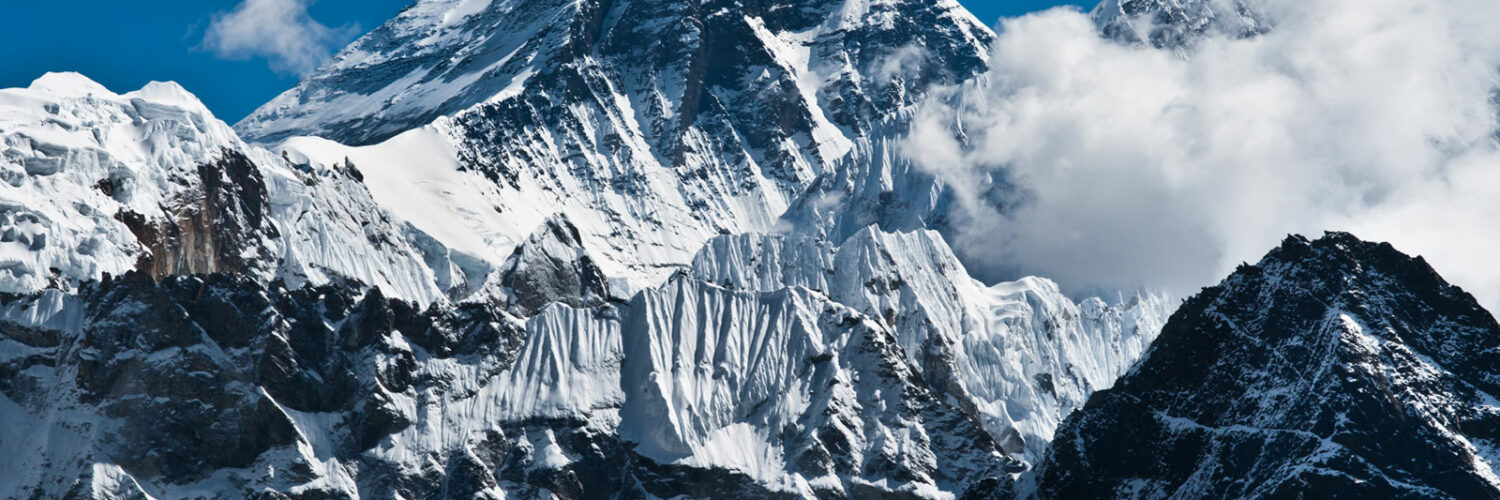
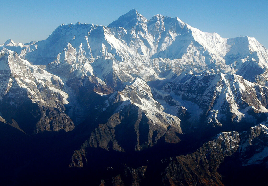
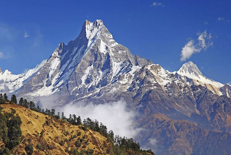
The world’s highest mountains are not scattered evenly across the globe. They rise in a dramatic belt across Asia, where the Himalayas and the Karakoram lift rock, ice, and snow more than 8,000 meters above sea level. Mount Everest is the famous name, but it is only the beginning of the story. K2, Kangchenjunga, Lhotse, Makalu, Cho Oyu, Dhaulagiri, Manaslu, Nanga Parbat, and Annapurna all belong to the small group of peaks tall enough to enter the thin, dangerous air near the top of the planet.
These mountains are impressive not only because they are high. They also show how Earth changes over enormous spans of time. Their height comes from plate movement, crustal collision, erosion, snowfall, glaciers, and repeated measurement. A mountain can be a landmark, a sacred place, a climbing challenge, a climate record, and a lesson in physical geography all at once.
How Mountain Height Is Measured
Most lists of the world’s highest mountains use elevation above mean sea level. By that measurement, Mount Everest is the highest point on Earth at 8,848.86 meters, or about 29,032 feet. That figure comes from the joint height announced by Nepal and China in 2020, after modern surveying work refined older measurements. Because mountains can shift slightly after earthquakes, and because snow and ice sit above the rock summit, exact heights are not as simple as they may look in a table.
There are other ways to think about height. Mauna Kea in Hawaii, for example, is taller than Everest if measured from its base on the ocean floor to its summit. Denali in Alaska has enormous vertical relief from base to summit. But when geographers rank the highest mountains above sea level, the top ten are all in Asia, mostly in the Himalayas, with K2 in the Karakoram.
Why So Many of the Highest Peaks Are in Asia
The U.S. Geological Survey describes the Himalayas as the result of a continental collision: the Indian Plate moved north and pushed into the Eurasian Plate tens of millions of years ago. Unlike an oceanic plate that can sink beneath another plate, two buoyant continental masses crumple, thicken, and rise when they collide. The result is a vast mountain system that is still being shaped today.
This process does not build smooth, simple towers. Rock folds, faults, fractures, and lifts unevenly. Glaciers carve valleys and sharpen ridges. Snow piles up in high basins, while avalanches and landslides move material downslope. The same forces that make these mountains spectacular also make them unstable and difficult to cross.
The Himalayas and Karakoram also influence climate and human life far beyond their summits. Their glaciers and snowfields help feed major Asian river systems. Their passes have shaped travel, trade, and cultural exchange. Their height affects wind, monsoon patterns, and local weather. A list of tall peaks is therefore also a doorway into geology, climate, history, and regional geography.
The Ten Highest Mountains Above Sea Level
Mount Everest stands on the border of Nepal and Tibet and is the highest mountain above sea level. Its Nepali name is Sagarmatha, and its Tibetan name is Chomolungma. Everest’s height, fame, and place in mountaineering history make it the best-known peak in the world, but its popularity can hide the seriousness of the climb. Altitude sickness, storms, avalanches, cold, and exhaustion all make the mountain dangerous even on established routes.
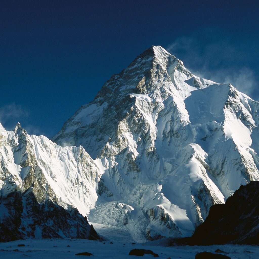
K2, at 8,611 meters, is the second-highest mountain and the highest peak in the Karakoram. It lies in a remote region administered by Pakistan and China. K2 is often considered more technically demanding than Everest because of its steep slopes, severe weather, and difficult approaches. The name comes from an early survey label rather than a traditional local name, but it has become one of the most recognized names in mountaineering.
Kangchenjunga, at 8,586 meters, ranks third. It rises near the border between Nepal and India and was once thought by some surveyors to be the world’s highest mountain before more accurate measurements placed Everest above it. Its name is often translated as referring to five treasures of the snow, a reflection of the mountain’s five major peaks and its cultural importance in the region.
Lhotse, at 8,516 meters, is the fourth-highest mountain. It sits close to Everest, and climbers on the standard routes share part of the same approach before the paths separate higher on the mountain. Lhotse’s name means south peak in Tibetan, a fitting description of its position near Everest’s massive summit system.
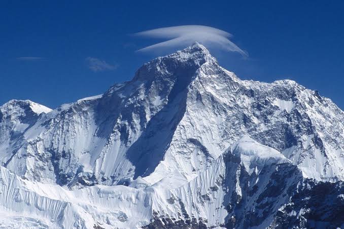
Makalu, at 8,485 meters, is the fifth-highest peak. Its pyramid-like shape makes it one of the most visually striking mountains in the Himalayas. Makalu is also known for difficult climbing because of steep ridges, exposed terrain, and high-altitude weather. Its setting near the Makalu-Barun region shows how high mountains can sit beside deep valleys, forests, and varied ecosystems.
Cho Oyu, at 8,188 meters, is the sixth-highest mountain. Its name is often translated as turquoise goddess. Compared with some other 8,000-meter peaks, Cho Oyu has a reputation for being more approachable for experienced high-altitude climbers, but that does not make it safe in an ordinary sense. Any peak above 8,000 meters exposes people to extreme cold, low oxygen, and fast-changing weather.
Dhaulagiri I, at 8,167 meters, is the seventh-highest mountain and lies entirely in Nepal. The name comes from Sanskrit words often understood as white mountain or dazzling mountain. Dhaulagiri rises dramatically above the Kali Gandaki region, creating one of the most striking elevation contrasts in the world.
Manaslu, at 8,163 meters, is the eighth-highest mountain. Its name is connected to the Sanskrit word for mind or spirit. Manaslu is part of the Nepalese Himalayas and has become an important climbing destination, though avalanches and weather remain serious hazards. The mountain also sits in a region where villages, trails, monasteries, rivers, and forests are part of the broader landscape, not just background scenery.
Nanga Parbat, at 8,126 meters, ranks ninth. It rises in the western Himalayas in Pakistan and is famous for its enormous relief, especially the Rupal Face, one of the great mountain walls on Earth. Its name means naked mountain, a reference to the dramatic exposed slopes that make it stand apart from surrounding terrain.
Annapurna I, at 8,091 meters, is the tenth-highest peak. It is part of the Annapurna massif in Nepal. The name is associated with nourishment and abundance in Sanskrit, but the mountain’s climbing history is severe. Annapurna’s avalanches, storms, and steep routes have made it one of the most dangerous of the 8,000-meter peaks.
What These Mountains Teach Us
The highest mountains are sometimes treated as a simple ranking, but the ranking is only the surface. Everest shows how measurement and fame shape public imagination. K2 shows that the second-highest peak can be more difficult than the highest. Kangchenjunga, Dhaulagiri, Manaslu, and Annapurna show how mountains are tied to language, belief, settlement, and regional identity. The Himalayas and Karakoram together show that Earth’s crust is still active, not fixed.
For learners, the most useful question is not only which mountain is tallest. It is why these peaks are so high, why they cluster where they do, and how humans measure, name, climb, protect, and imagine them. The world’s highest mountains are beautiful from a distance, but their real importance becomes clearer when they are seen as living parts of Earth’s geography: built slowly, changed constantly, and powerful enough to shape rivers, weather, cultures, and human ambition.




Add comment