
 Akshay Dinesh
A volcano is not simply a cone with a crater. It is a place where molten rock, gas, and fragmented material reach the surface through a vent or fissure, gradually building landforms that may look like steep mountains, broad shields, small cones, or long cracks in the ground. Some eruptions release fluid lava with little violence; others send ash high into the atmosphere and drive scorching currents down a volcano’s slopes. Understanding that difference is the key to understanding volcanic risk.
Volcanoes are also far more common and varied than the historical record suggests. The Smithsonian Institution’s Global Volcanism Program lists more than a thousand land-based volcanic systems that have erupted during the Holocene, the current geological epoch, while many more lie beneath the oceans. Long quiet intervals make simple labels such as active, dormant, and extinct less precise than they first appear. A volcano that has been quiet for centuries can still retain a working magma system.
Where Volcanoes Form
Most volcanism is connected to the movement of tectonic plates. At a divergent boundary, plates pull apart and hot mantle material rises to fill the gap. The drop in pressure allows some of that material to melt, producing magma that feeds volcanic ridges and rifts. Much of this activity happens along the mid-ocean ridge system, although Iceland provides a dramatic example above sea level.
At many convergent boundaries, one oceanic plate sinks beneath another plate in a process called subduction. Water and other volatile substances released from the descending plate help lower the melting temperature of the overlying mantle. The magma that forms can rise through the crust and feed chains of volcanoes. These arcs account for many volcanoes around the Pacific, but the familiar phrase Ring of Fire should not be mistaken for a perfect circle or a complete list of the world’s volcanism.
Volcanoes also form away from plate boundaries. At hot spots such as Hawaii, rising hot material supplies magma beneath a moving plate, creating a chain of volcanoes over time. The location explains why volcanoes appear in different settings, but it does not by itself determine exactly how a particular eruption will behave. Magma composition, temperature, crystals, dissolved gas, water, and the shape of the underground plumbing system all matter.
Why Some Eruptions Flow and Others Explode
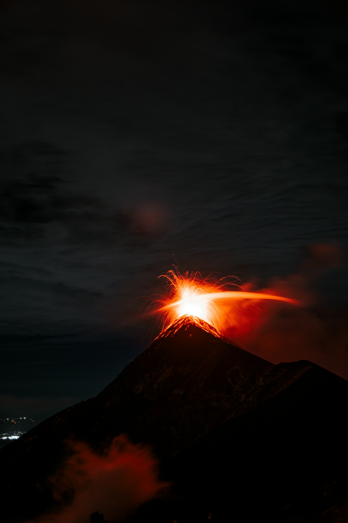
Magma contains molten rock, crystals, and dissolved gases. As magma rises and pressure falls, gases begin to form bubbles, much as carbon dioxide appears when a bottle of fizzy drink is opened. Whether those gases escape easily depends partly on viscosity, a measure of resistance to flow. Hot, basaltic magma is often relatively fluid, so gas can escape and lava may pour from vents in an effusive eruption. More silica-rich magma is commonly stickier, which can trap expanding gas until pressure is released explosively.
This is a useful pattern, not a rule that predicts every event. A single volcano can produce different eruption styles at different times, and an eruption can shift between lava flows, fountains, ash-rich explosions, and periods of quiet. The rate at which magma rises and the amount of gas it carries can change the outcome. Contact with groundwater, a lake, seawater, snow, or ice can add another source of explosive energy.
Steam-driven and water-magma explosions
A phreatic eruption occurs when water is heated rapidly and flashes into steam, breaking older rock apart. Fresh magma does not have to reach the surface, so these explosions may happen with little warning. In a phreatomagmatic eruption, water interacts directly with magma and fragments it. These terms describe processes, not tidy categories that every eruption follows from beginning to end.
The Hazards Reach Far Beyond Lava
Lava is the most recognizable volcanic product, but it is often not the fastest or farthest-reaching danger. Fluid lava flows usually move slowly enough for people to leave their path, although they can burn or bury homes, roads, farms, and utilities. Other hazards can arrive much faster, spread across a wider area, or continue long after an eruption appears to have ended.
- Pyroclastic flows are turbulent mixtures of hot gas, ash, and rock that rush down slopes. Their speed and temperature make them among the deadliest volcanic hazards.
- Ashfall can irritate lungs and eyes, contaminate water, damage machinery, reduce visibility, disrupt aviation, and overload roofs when it accumulates or becomes wet.
- Lahars are fast-moving mixtures of water and volcanic debris. Rain, melting snow or ice, crater lakes, or remobilized ash can send them down river valleys far from the vent.
- Volcanic gases include water vapor, carbon dioxide, sulfur dioxide, and other compounds. Near the ground, concentrated gases can harm people and animals; higher in the atmosphere, sulfur dioxide can form aerosols that affect air quality and climate.
- Landslides and sector collapse can remove part of a volcanic cone. If a large collapse enters water, it can also generate dangerous waves.
Risk depends on more than the size of an eruption. A modest event can be disastrous if people live in exposed valleys, buildings cannot withstand ash loads, evacuation routes are limited, or warnings do not reach everyone. Conversely, careful land-use planning and timely evacuation can greatly reduce deaths even when physical damage remains severe. Hazard maps therefore show likely paths and affected zones rather than drawing one simple danger circle around a summit.
How Scientists Monitor Volcanic Unrest
Volcanologists do not watch for a single universal warning sign. They combine several streams of evidence and compare new observations with a volcano’s past behavior. Rising magma commonly fractures rock and changes pressure underground, so earthquake patterns and ground deformation are especially valuable. Instruments may also track gas chemistry, heat, gravity, sounds below human hearing, and changes in springs or crater lakes.
- Seismometers record earthquakes and continuous vibration beneath the volcano.
- GPS stations, tiltmeters, radar satellites, and other surveying tools detect swelling, sinking, or sideways movement of the ground.
- Gas sensors measure substances such as sulfur dioxide and carbon dioxide and look for changes in their amounts or ratios.
- Thermal cameras and satellite instruments identify unusual heat, new lava, ash clouds, and changes in a crater.
- Field mapping reveals where earlier lava flows, pyroclastic deposits, and lahars traveled, helping scientists judge what future activity might affect.
Monitoring supports forecasts, not exact schedules. According to the U.S. Geological Survey, most magmatic eruptions provide some warning, but unrest can continue for weeks, months, or years without producing an eruption. Steam-driven explosions may occur with little or no warning. Scientists may be able to say that an eruption has become more likely and describe plausible hazards, but they usually cannot promise an exact time, size, or sequence.
What alert levels mean
Volcano observatories use alert levels and aviation color codes to summarize changing conditions. These systems help emergency managers, pilots, residents, and visitors act on the same information, but an alert level is not a guarantee that an eruption will or will not occur. Official observatory notices, local emergency instructions, and hazard maps are more useful than rumors or dramatic images shared without context.
Living With Volcanic Risk
Communities cannot stop an eruption, but they can keep a natural process from becoming a larger human disaster. The most effective measures begin before unrest: mapping hazards, limiting development in the most exposed zones, strengthening roofs where ashfall is likely, protecting water systems, planning several evacuation routes, and practicing how warnings will be communicated. Schools, hospitals, transport operators, and farms may need plans tailored to their own risks.
During an emergency, the right action depends on the hazard. People may need to leave valleys threatened by lahars, shelter from ashfall, avoid driving through heavy ash, or follow an exclusion zone near the vent. A dust mask can reduce the amount of ash inhaled, while well-fitting eye protection helps keep abrasive particles out of the eyes. Local authorities and volcano observatories should guide decisions because conditions and evacuation routes differ from one volcano to another.
Volcanic regions also bring benefits. Weathered volcanic material can contribute to productive soils, geothermal heat can provide energy, and eruptions create new land and reveal how Earth’s interior works. Those benefits do not cancel the hazards; they explain why millions of people live near volcanoes and why risk reduction must be practical rather than alarmist. The clearest view of a volcano is neither as a sleeping monster nor as a predictable machine, but as a changing geological system that can be studied, monitored, and respected.