
 Akshay Dinesh
One neighborhood wakes to a deep layer of snow while another, a short drive away, sees only a dusting. Around the Great Lakes, that contrast can be the signature of lake-effect snow: a concentrated snowfall created when cold air travels over comparatively warmer water. The lake supplies heat and moisture to the passing air, and winds organize the resulting clouds into bands that can remain over the same communities for hours.
Lake-effect snow is not simply snow falling near a lake. It depends on the route the air takes across open water, the temperature of the air above it, and the direction and steadiness of the wind. A modest shift in that wind can move a heavy snow band from one town to another, making an apparently small change in the forecast consequential.
How a lake helps make snow
Imagine a cold air mass moving across Lake Erie in early winter. The water is cold to a person, but it can still be much warmer than the air above it. As the air travels over the lake, heat moves from the water into the lowest part of the atmosphere, and evaporation adds water vapor. That warmed, moistened air becomes buoyant relative to its surroundings and rises.
Rising air expands as pressure falls, and expansion cools it. If it cools enough, water vapor condenses into cloud droplets; in a sufficiently cold cloud, ice crystals can develop and grow into snowflakes. The National Oceanic and Atmospheric Administration describes the resulting rising columns as thermals that can organize into cloud bands aligned with the prevailing wind. Snow may begin over the lake and continue downwind over land.
The contrast between water and air is essential, but a freezing surface temperature alone does not guarantee snow. Forecasters also consider the temperature higher in the atmosphere, the depth of the moist layer and whether the air can keep rising. A National Weather Service teaching resource uses a difference of about 13 degrees Celsius between the lake surface and air near the 850-millibar pressure level as a useful rule of thumb, not a promise that a particular place will receive snow.
Why the wind makes such a difference
Wind determines both the path across the lake and the location of the downwind shore. Meteorologists call the distance air travels over water its fetch. A longer fetch generally gives the air more opportunity to pick up heat and moisture. A wind blowing lengthwise across Lake Erie, for example, can expose air to more water than a wind crossing its narrower dimension.
Now picture that wind changing direction slightly. The path of the air across the lake changes, and so does the place where a band reaches shore. A community that spent the morning under intense snow can see the band move away while a neighboring community enters it. NOAA’s Buffalo climatological summary notes that lake-effect snowfall is highly localized and that wind direction determines the location of the bands; areas south of Buffalo receive more lake-effect snow than the northern suburbs.
Wind direction can also vary with height. When winds through the cloud-producing layer are reasonably aligned, a band can stay organized; changing directions with height can disrupt or rearrange it. Multiple narrower bands are possible, as is a dominant band in the right conditions. The lake is the source of energy and moisture, but the atmosphere decides how that supply is distributed.
Why the heaviest snow can be so local
A lake-effect band is more like a narrow conveyor of snow than a blanket covering an entire region. If the wind holds steady, fresh moisture continues to feed the cloud while snow falls repeatedly over roughly the same corridor. A small snowfall rate spread over many hours can accumulate substantially; intense snow that persists can produce much greater totals. Just outside the band, the sky may be brighter and accumulation far lower.
Terrain can strengthen the contrast. As air reaches higher ground downwind, it is forced upward, which can enhance cloud formation and snowfall where other conditions are favorable. Distance from the shore matters too: the direct supply of heat and moisture ends over land, although a band can continue inland for a considerable distance. The result is a snowbelt shaped by water, wind and landscape rather than by distance from the lake alone.
NOAA’s National Environmental Satellite, Data, and Information Service documents cloud streets over the Great Lakes in satellite imagery. These parallel clouds make the wind’s influence visible from space, but a cloud image alone cannot tell a traveler the exact conditions at road level. Radar, surface observations and local reports help forecasters judge where the snow is falling and how its bands are moving.
Why open water matters in winter
Lake-effect snow often becomes a concern in late fall and early winter, when cold air can sweep across water that has retained warmth from earlier in the year. Lakes do not cool at the same pace as the land around them, and a cold outbreak can establish a large contrast even though the water itself is chilly. The exact timing and severity vary from one lake and one season to another.
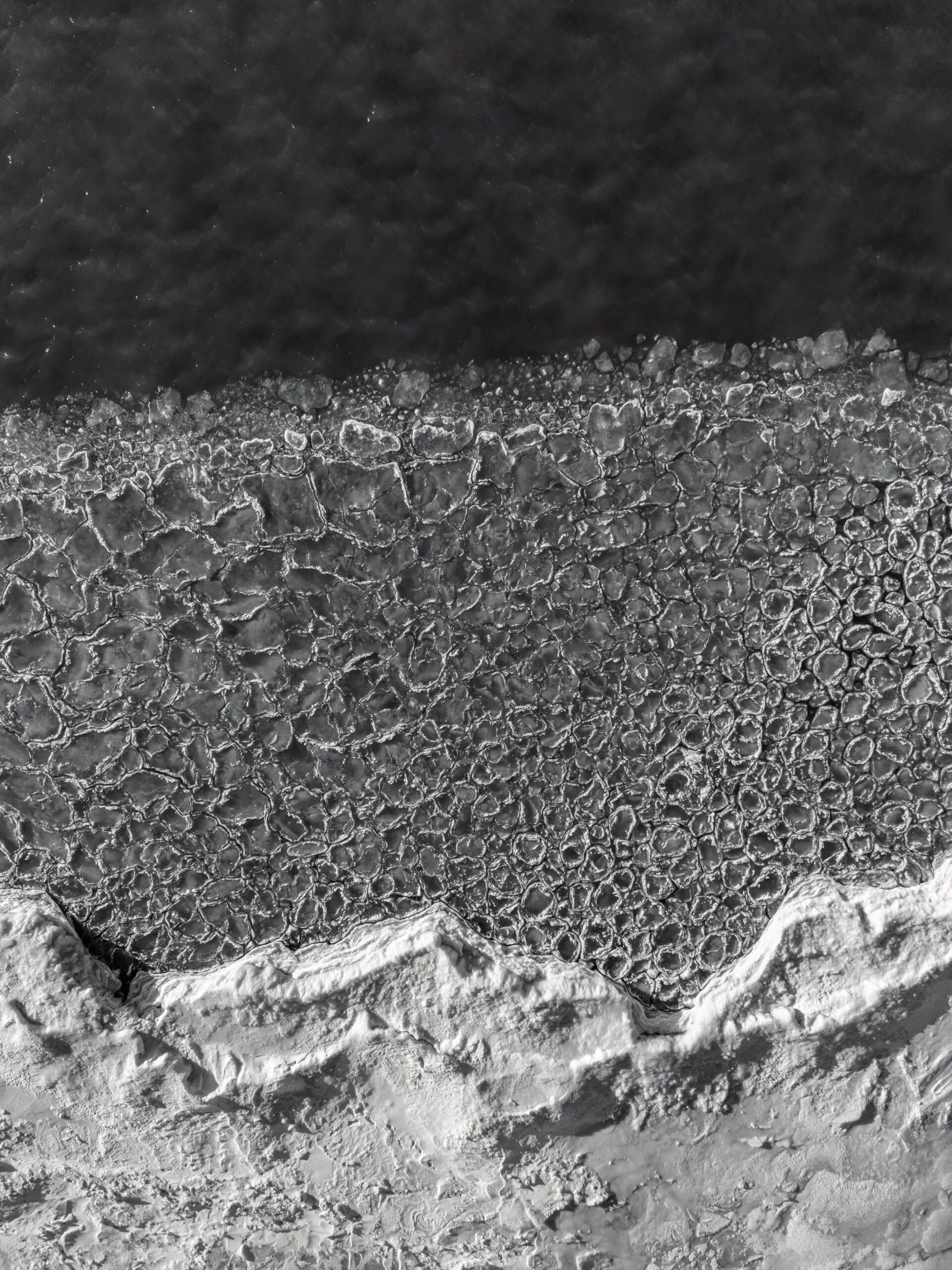
Ice changes the exchange. When a portion of a lake is covered by ice, the atmosphere has less direct access to the liquid water below, reducing the supply of heat and moisture from that area. Partial ice cover does not act like a switch for the whole lake: open stretches can still contribute, and other weather systems can still bring snow. A lake-effect forecast has to account for where the open water actually is as well as how cold the air has become.
The Great Lakes are famous for the phenomenon because they offer large expanses of water next to populated downwind shores. They are not the only possible setting. The National Weather Service has documented a band enhanced by smaller inland lakes near Madison, Wisconsin, showing that a lake need not be enormous to influence snowfall when the other ingredients align.
Reading a forecast when a band is nearby
A regional snowfall total can hide a sharp local boundary. Look for the location of the expected band, the likely wind direction, when the band may shift, and the range of possible accumulations along the route. A forecast that identifies the area most at risk is often more informative than applying one number to an entire metropolitan area. Uncertainty about a small wind shift can mean uncertainty about which town receives the highest total.
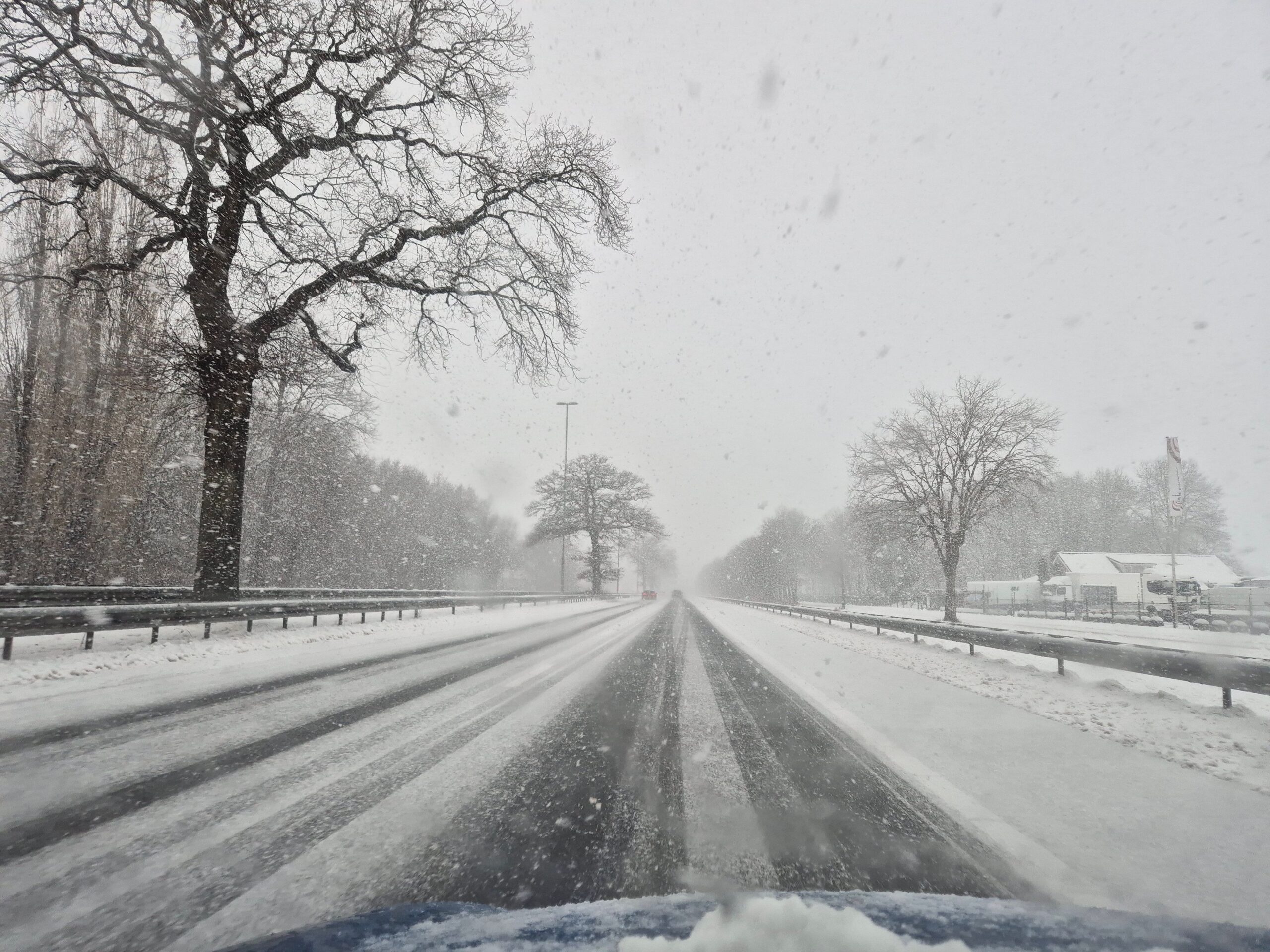
Before traveling, check current National Weather Service forecasts and alerts, along with road-condition reports for the entire route. Conditions can change abruptly when a road crosses into a band, and heavy snowfall and blowing snow can sharply reduce visibility. If hazardous conditions are forecast, delaying travel can leave time for the band to move and for road crews to work; check again before setting out rather than assuming the road is clear once snowfall eases.
Lake-effect snow shows how a familiar landscape can shape weather on a remarkably small scale. The same lake that supplies the ingredients to a cloud band can leave one community digging out while another nearby sees little snow. Following the wind, the open water and the position of the band makes that contrast much less mysterious.