
 Akshay Dinesh
A phone can report that you are 312 meters high while a topographic map places the same spot at 345 meters above sea level. That difference does not necessarily mean the satellite receiver is broken or the map is wrong. The two numbers may be measuring height from different imaginary surfaces, and those surfaces can be tens of meters apart.
The distinction is becoming especially relevant in the United States. On November 6, 2026, the National Oceanic and Atmospheric Administration announced that its modernized National Spatial Reference System is moving through public testing ahead of a planned late-2027 release. The update will change the official framework used to describe latitude, longitude, and height. To see why such a technical-sounding change matters, it helps to separate what GPS measures naturally from what people usually mean by elevation.
GPS finds a geometric position, not a shoreline
Global Positioning System satellites broadcast precisely timed radio signals along with information about their orbits. A receiver compares the arrival times of signals from several satellites and solves for its position in three dimensions. The result can be expressed as latitude, longitude, and height, but the calculation has no direct knowledge of a nearby beach, tide gauge, or mountain summit.
The native height is measured relative to an ellipsoid: a smooth mathematical shape that approximates Earth. Because Earth rotates, it bulges slightly around the equator and is flatter near the poles, so an ellipsoid fits better than a perfect sphere. A smooth, equation-based surface gives satellite navigation a consistent geometric reference everywhere on the planet.
This is called ellipsoid height. It answers a precise geometric question: how far is the receiver above or below the chosen ellipsoid? Ordinary elevation answers a different question, closer to “how high is this point above sea level?” A device must perform another conversion before its satellite-derived height becomes that familiar kind of elevation.
There is also a separate accuracy problem. Satellite geometry usually makes vertical position less precise than horizontal position, and signals can be delayed by the atmosphere or reflected by buildings, cliffs, and trees. A phone may combine satellite data with a barometer, terrain database, or earlier calibration. Those errors can move a displayed number, but they are not the same as the systematic difference between ellipsoid height and elevation above sea level.
Gravity gives elevation its useful zero
Sea level sounds like a simple reference until one tries to extend it through a continent. Real ocean surfaces rise and fall with tides, winds, currents, air pressure, and temperature. Surveyors instead use a modeled surface called the geoid. NOAA describes it as the shape global mean sea level would take under gravity if tides and currents were removed, continued beneath the land.
The geoid is not smooth. Earth’s mass is distributed unevenly: mountain ranges, deep ocean trenches, and differences in rock density alter the local gravitational field. Water at rest follows a surface of equal gravitational potential, so the zero-elevation surface gently rises and falls relative to the ellipsoid. The bumps are greatly exaggerated in many illustrations; the real geoid remains smooth enough that a person standing on it would not see waves or ridges.
Elevation tied to this gravity-based surface is called orthometric height. The relationship is commonly written as H = h – N, where H is orthometric height, h is ellipsoid height, and N is the geoid’s height relative to the ellipsoid. Suppose a receiver reports an ellipsoid height of 120 meters and the geoid model at that location gives N as minus 30 meters. The elevation is 120 – (-30), or 150 meters.
That is not a small correction. NOAA notes that geoid height across the contiguous United States has historically varied roughly from minus 8 to minus 53 meters in the relevant reference systems. A raw satellite height can therefore differ substantially from a map elevation even when the receiver has found its geometric position correctly. Survey software, mapping apps, and professional data collectors often apply a geoid model automatically, which is why the conversion can remain invisible to the user.
Why two respectable elevation values can still disagree
“Above sea level” is incomplete unless the reference system, or datum, is known. A datum turns an ideal surface and a set of measurements into an official frame that people can reproduce. The current U.S. civilian vertical datum, NAVD 88, was built from a continent-scale network of spirit leveling tied to a benchmark in Quebec. Other countries and regions use different vertical datums, and nautical charts may use tidal references chosen for safe navigation rather than land elevation.
Even local mean sea level is not automatically the same as the geoid. Ocean circulation, prevailing winds, water temperature, salinity, and atmospheric pressure can keep the long-term water surface slightly above or below a gravity model. A tide gauge also records the sea relative to land that may itself be rising, sinking, or moving sideways. The phrase “sea level” hides both a time period and a reference frame.
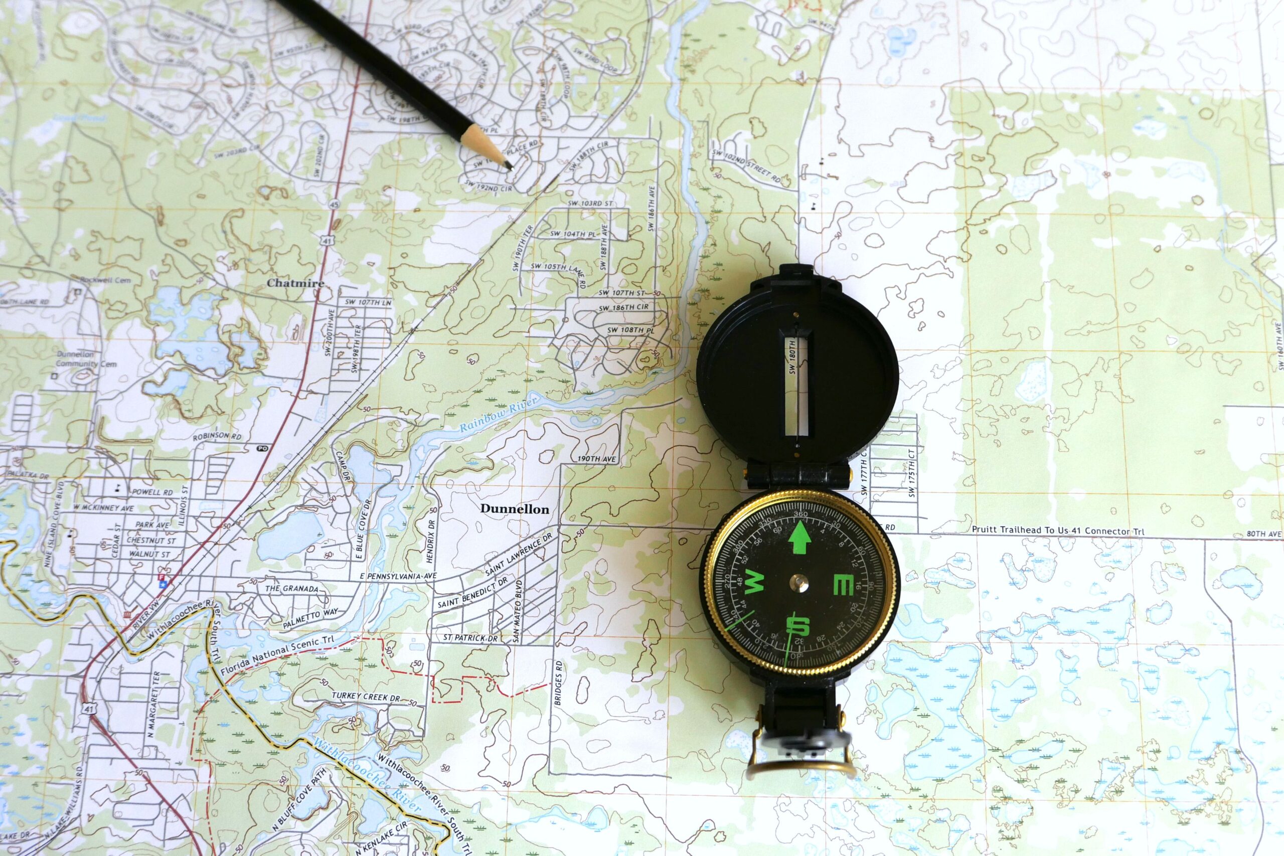
Older maps add another layer. A contour line may be internally consistent with the datum and surveys used when the map was made, yet not match a modern satellite-based reading without transformation. Rounding matters too: a contour interval of 20 meters cannot support a one-meter claim simply because a phone displays three digits. Good measurement begins by asking not only “What is the number?” but also “What surface, datum, model, date, and uncertainty produced it?”
Professionals control those variables by connecting observations to known benchmarks or continuously operating satellite reference stations. They use survey-grade receivers, longer observation periods, corrections, calibrated geoid models, and documented datums. A hiking app does not need that machinery to show whether a trail climbs sharply, but a bridge, floodplain, runway, or property survey may depend on centimeters. The right method follows the consequence of being wrong.
The U.S. reference system is being rebuilt around satellites and gravity
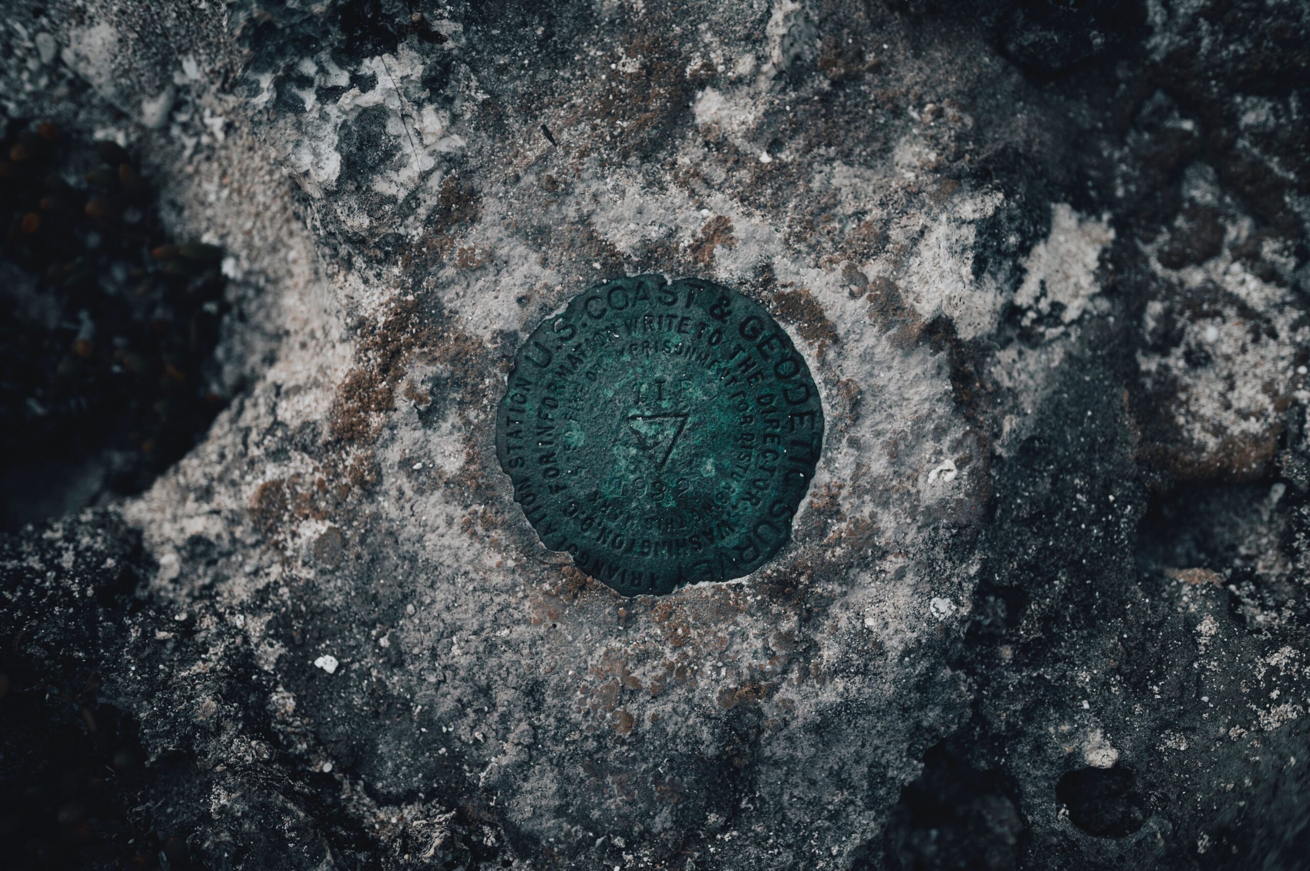
NOAA’s National Geodetic Survey maintains the National Spatial Reference System, the common framework that lets maps, property surveys, roads, flood models, ports, and emergency data line up. Its current horizontal foundation, NAD 83, and vertical foundation, NAVD 88, were major achievements, but they carry limitations inherited from older observations and methods.
NOAA reports that NAD 83 is offset from the best modern estimate of Earth’s center by about 2.2 meters. NAVD 88 is biased by roughly half a meter and tilted by about a meter from one coast to the other relative to improved global geoid models. The country also relies on a vast collection of physical survey marks. Many remain valuable, but some have been disturbed, destroyed, or left with coordinates that do not capture later ground motion.
The modernized system is designed around continuously operating Global Navigation Satellite System stations, gravity measurements, and models that can account for movement through time. Four terrestrial reference frames will rotate with the North American, Pacific, Caribbean, and Mariana tectonic plates. A gravity-based geopotential datum will replace the leveling-based vertical datums, allowing precise elevations to be derived from satellite observations and an updated geoid model.
Coordinates in the new system may change by as much as several meters, but a house, road, or mountain will not jump. The numerical address changes because the origin and reference surfaces have improved. Transformations will be essential when old and new datasets are combined; silently mixing them could shift a boundary, misalign utility records, or give a flood model the wrong elevation. NOAA’s current beta period gives surveyors, engineers, mapping agencies, researchers, and software developers time to test those workflows before the system becomes official.
How to interpret the elevation on a device or map
For ordinary navigation, a phone or outdoor receiver can still be useful. Its elevation is best treated as an estimate whose quality depends on the sky view, hardware, correction data, and software. A rapidly changing value while the device is motionless is a clue that signal conditions or sensor calibration are affecting the result.
- Check the label. Look for ellipsoid height, orthometric height, altitude, or elevation. The words are not always used consistently, so consult the device or dataset documentation.
- Find the datum. A professional map or geographic dataset should identify its horizontal and vertical reference systems. “Meters” describes a unit, not the zero surface.
- Match precision to purpose. A phone may be adequate for estimating a hike’s total climb. Construction, drainage, aviation, and legal boundaries require appropriate survey control and documented uncertainty.
- Do not mix datasets casually. Convert coordinates and heights when sources use different datums, especially during the transition to a modernized national system.
The deceptively simple question “How high am I?” has three layers. Satellites determine a geometric position relative to an ellipsoid. Gravity defines a geoid that behaves like a quiet global sea surface. A datum connects those ideas to measurements that communities can share. Once those layers are separated, disagreements between GPS height and map elevation stop looking like mysterious errors. They become different answers, each meaningful only when its reference surface is named.