 Akshay Dinesh
The thermometer reads 20°F, but the forecast says it feels like 4°F. Nothing has changed the temperature of the air, so where did the missing 16 degrees go? The answer is not a colder pocket of atmosphere. It is a faster transfer of heat away from exposed skin.
Wind chill translates that faster heat loss into an equivalent temperature. A reading of 4°F means that, under the index’s assumptions, exposed skin is losing heat about as quickly as it would in calm air at 4°F. The number is useful because it connects two separate measurements, air temperature and wind speed, to the experience that matters outdoors: how rapidly a person can become dangerously cold.
Wind chill measures heat loss, not a new air temperature
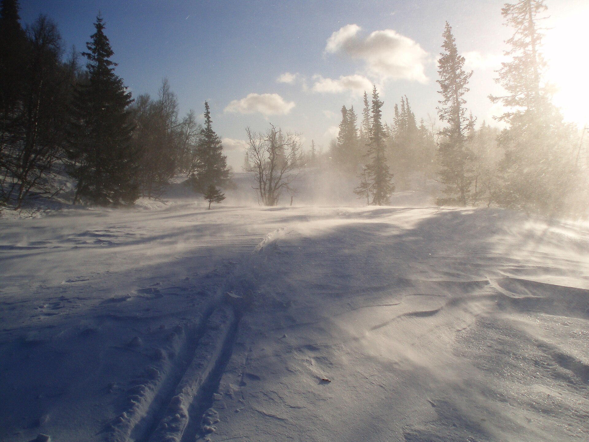
Your body constantly warms a thin layer of air next to the skin. On a calm day, that slightly warmer boundary layer slows further heat loss. Wind sweeps it away and replaces it with colder air. The body must then warm the new air, which is carried off in turn. Faster wind repeats the process more quickly, so exposed skin cools faster even though the thermometer has not moved.
This is forced convection, a form of heat transfer in which moving fluid carries thermal energy. Air is the fluid in this case. The same principle helps a fan cool warm skin and helps blowing air cool a bowl of soup. In winter, however, the surrounding air may already be cold enough that accelerating convection becomes a health hazard rather than a comfort.
The National Weather Service wind chill index puts the effect into familiar temperature units. At an air temperature of 20°F with a 20 mph wind, the calculated wind chill is about 4°F. At 0°F with a 15 mph wind, it is about -19°F. Those values do not mean the air has reached 4°F or -19°F; they describe a comparable rate of heat loss from exposed skin.
How the forecast number is calculated
The modern U.S. and Canadian index combines air temperature in degrees Fahrenheit with wind speed in miles per hour. Its equation is WCT = 35.74 + 0.6215T – 35.75V0.16 + 0.4275TV0.16, where T is air temperature and V is wind speed. Forecast apps perform the arithmetic automatically, but the shape of the formula is more useful than memorizing its constants: lower temperatures and stronger winds drive the result downward.
The National Weather Service defines the index only when the air temperature is 50°F or lower and the wind is above 3 mph. Below that wind speed, the assumptions behind the calculation no longer work well. The model estimates wind at about five feet above the ground, roughly the height of an adult face, even though standard weather instruments usually measure wind at a greater height.
The current formula was adopted in 2001 after researchers in Canada tested heat loss from the faces of adult volunteers in a refrigerated wind tunnel. The participants walked on a treadmill while sensors recorded heat flow from the forehead, cheeks, nose, and chin. That human-based model replaced an older index rooted in experiments with water-filled containers in Antarctica, which did not represent living skin accurately.
Every index simplifies reality. The standard calculation assumes exposed, dry skin and no warming from direct sunshine. The Weather Service notes that bright sun may make conditions feel 10°F to 18°F warmer than the listed wind chill. Clothing, body size, activity, shade, and shelter from gusts also change personal heat loss, so two people can experience the same official value differently.
What wind chill can and cannot do
Wind chill can cool a person faster, but it cannot lower an object below the actual air temperature. If the air is 10°F and the wind chill is -7°F, a parked car, a pipe, or a bowl of water may cool toward 10°F more quickly in the wind. It will not keep cooling to -7°F solely because of wind. That distinction matters when people use the forecast to judge frozen pipes, vehicle fluids, or other objects.
The same rule explains a common frostbite misconception. If the air temperature is above 32°F, a below-freezing wind chill does not make exposed skin freeze as if it were surrounded by subfreezing air. Frostbite requires tissue to freeze, and the air still sets the lowest temperature that wind alone can produce. Hypothermia, however, can develop without frostbite because the body’s core can lose heat in cold conditions even when the air is above freezing.
Water adds another pathway for heat loss. Wet clothing can conduct heat away from the body and may increase evaporative cooling, effects that the standard wind chill equation does not include. A person caught in cold rain or wearing sweat-soaked layers may therefore face more stress than the displayed number suggests. The forecast value should be treated as one risk indicator, not a complete model of every person and setting.
Wind chill also applies to people and animals, not to a universal sensation shared by every surface. Covered skin is protected by the insulation and trapped air in clothing. Exposed ears, fingers, toes, nose, and cheeks receive far less protection and can cool quickly. Young children, older adults, people with certain health conditions, and anyone unable to reach shelter may need a larger safety margin than a chart implies.
Why frostbite time appears on wind chill charts
National Weather Service charts shade combinations of temperature and wind according to estimated frostbite times for exposed skin. As conditions become more severe, the shaded bands mark risks in roughly 30, 10, or 5 minutes. At 0°F with a 15 mph wind, for example, the wind chill near -19°F falls into the range where exposed skin may freeze in about 30 minutes.
Those bands are warnings, not countdown clocks. Gusts fluctuate, people differ, and the original human testing involved adults under controlled conditions. A chart cannot promise that skin is safe until the final minute. Numbness can also hide worsening injury, making it harder to notice that fingers, toes, or facial skin need protection.
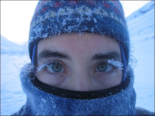
Frostbite and hypothermia are related but different. Frostbite is a freezing injury that usually affects exposed or poorly protected tissue. Hypothermia is an abnormally low core body temperature that can impair thinking, coordination, and the ability to help oneself. The Centers for Disease Control and Prevention’s occupational guidance emphasizes layered loose clothing, protection for the face, ears, hands, and feet, warm breaks, dry spare clothing, and monitoring other people in cold environments.
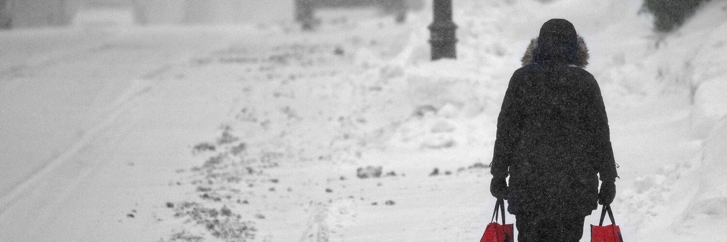
Wind chill is most valuable when it changes a decision. A short walk may call for covered skin and better gloves. A long wait at a bus stop may require a warmer plan or a place to shelter. Outdoor work, sports, and travel can require shorter exposure periods and scheduled warm-up breaks. The colder the value, the less room there is for a delayed ride, a lost glove, or an unexpected wait.
How to read today’s cold-weather alerts
Since October 2024, the National Weather Service has used Extreme Cold Watch, Extreme Cold Warning, and Cold Weather Advisory for dangerous cold. The change replaced older names such as Wind Chill Warning and Wind Chill Advisory. It was designed to make clear that hazardous cold can occur with or without strong wind.
An Extreme Cold Watch means dangerously cold conditions are possible but the timing, location, or occurrence is still uncertain. An Extreme Cold Warning means extremely dangerous air temperatures or wind chill values are expected or already occurring. A Cold Weather Advisory covers dangerous cold that is not expected to reach the local warning threshold. The precise thresholds vary because a temperature that is exceptional in one region may be routine in another, and local offices account for regional impacts.
The alert name and the wind chill number answer different questions. The index estimates the cooling effect on exposed skin. The alert communicates the expected danger across a place and time, using either air temperature or wind chill as appropriate. Reading both is more useful than looking at a single “feels like” number: one describes the physics, while the other signals how urgently people should adjust plans.
A thermometer tells you the state of the air. Wind chill tells you how quickly exposed skin may surrender heat under standardized conditions. Neither number replaces clothing, shelter, local alerts, or attention to symptoms, but together they explain why a breezy 10°F morning can demand more caution than a calm one. The air has not secretly become colder; the body is simply losing its warmth faster.