 Akshay Dinesh
A cold-night alert can sound more severe than it is—or less urgent than it really is—if the label is unfamiliar. A frost advisory means widespread frost is expected while official air temperatures may remain a few degrees above freezing. A freeze warning means widespread temperatures at or below 32°F (0°C) are expected. A freeze watch comes earlier, when a damaging freeze is possible but its timing or extent is still uncertain. The distinctions help gardeners, growers, and anyone caring for outdoor plants decide how quickly to act.
These alerts are not simply three steps on one thermometer. Frost depends on the temperature of leaves and other surfaces, a freeze is defined by the air temperature, and both products are tied to the local growing season. That is why a forecast low of 35°F can trigger an advisory, while the same temperature in midwinter may produce no frost headline at all.
Frost advisory, freeze watch, and freeze warning
The National Weather Service uses each headline for a different combination of hazard and confidence. A frost advisory is generally issued when widespread frost is expected during the growing season. Many local forecast offices use overnight lows around 33°F to 36°F as a guide, along with clear skies, light winds, and enough near-surface moisture for frost to develop.
A freeze watch means widespread freezing temperatures are possible, often within roughly the next day or two, but forecasters still have meaningful uncertainty about the location, timing, or coverage. It is a preparation signal. A freeze warning means widespread temperatures of 32°F or lower are expected during the growing season. Some offices add “hard freeze” wording when a deeper or longer freeze is forecast, but the exact threshold and duration can vary by region.
- Frost advisory: Frost is expected, often with reported air temperatures in the mid-30s.
- Freeze watch: A widespread freeze is possible, but the forecast is not settled enough for a warning.
- Freeze warning: Widespread freezing air temperatures are expected; protect vulnerable plants promptly.
Local criteria matter. The Weather Forecast Office in Wilmington, North Carolina, for example, describes a frost advisory as a forecast low of 33°F to 36°F with favorable frost conditions, while its freeze warning threshold is 32°F or lower. Other offices adjust timing, coverage, or “hard freeze” language to fit local climate and agriculture. The alert issued for your county is therefore more useful than a generic national rule.
How frost forms when the forecast stays above freezing
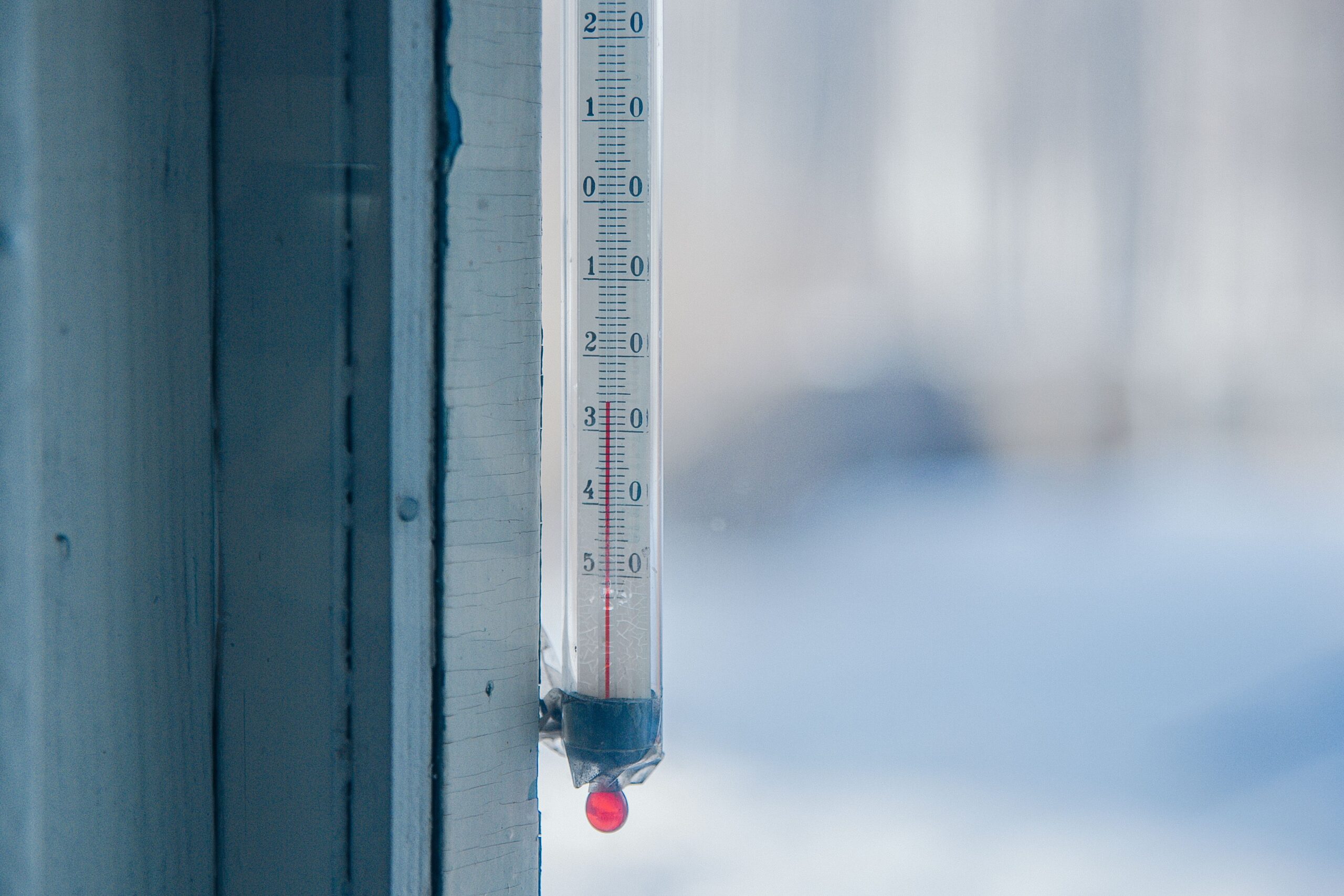
Weather stations usually measure air temperature several feet above the ground inside a ventilated shelter. Plants do not live inside that shelter. On a clear, calm night, the ground and exposed leaves emit infrared energy toward the sky and can cool faster than the air above them. A leaf may fall below 32°F even while the standard air-temperature reading remains 34°F or 35°F.
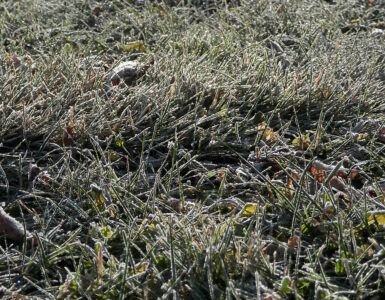
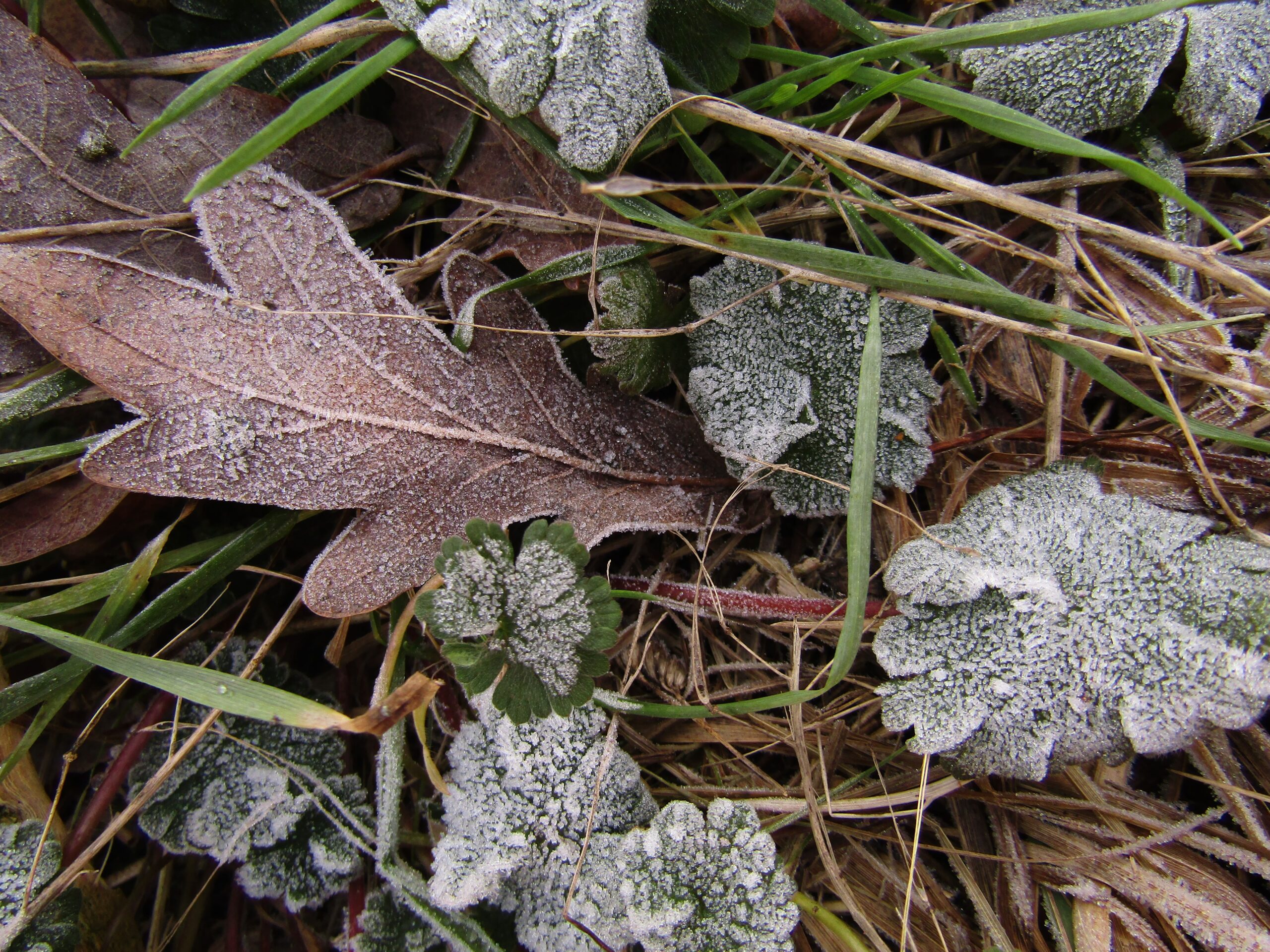
Water vapor can then turn directly into ice on the cold surface, forming frost crystals. The surface must be at or below freezing, but the official temperature does not. Low spots are often colder because dense, chilled air drains downhill and collects there. A sheltered garden bed can therefore frost while a nearby porch thermometer or hilltop stays warmer.
Clouds and wind change the picture. Clouds absorb and return some of the infrared energy leaving the ground, which slows nighttime cooling. A moderate breeze mixes the shallow layer of cold air near the surface with warmer air above it. The classic frost setup is therefore a clear, quiet night with moist air near the ground—not simply any night with a forecast in the 30s.
Why the growing season changes the alert
Frost and freeze headlines are designed mainly to warn about damage to living vegetation. National Weather Service offices start issuing them in spring when plants have resumed vulnerable growth and stop in autumn after a sufficiently widespread freeze has ended the local growing season. Those dates vary sharply with elevation, latitude, and regional climate.
This seasonal system explains a common winter puzzle. A forecast of 25°F may bring a freeze warning in October but no freeze warning in January. January cold is not being ignored; it is simply outside the frost-freeze program once tender vegetation is presumed dormant or already killed. Dangerous cold for people may instead be covered by a cold weather advisory or an extreme cold warning, which serves a different purpose.
The program also prevents routine winter temperatures from flooding people with agricultural alerts. In autumn, some offices end their program after the first widespread freeze. In spring, they restart it when local plants are likely to have broken dormancy. A late freeze after a warm spell can be especially damaging because buds and new shoots have lost some of their cold hardiness.
What cold actually does to plants
Cold damage is not determined by one number alone. Plant species, growth stage, exposure time, wind, soil moisture, and the temperature reached by the plant all matter. Tender annuals and newly opened blossoms may be injured by a light frost that a dormant shrub tolerates without trouble. Containers also cool faster than the ground and leave roots more exposed.
As plant tissue freezes, ice often forms first outside the cells. That pulls water outward and dehydrates the cells. With deeper or longer cold, cell membranes can be damaged, leaving tissue dark, limp, or water-soaked after it thaws. Rapid thawing in morning sun can add stress, which is one reason damage may differ even across the same yard.
Microclimates make a countywide forecast uneven on the ground. South-facing walls release stored heat, tree canopies reduce heat loss to the open sky, and urban surfaces can remain warmer. Valleys, open lawns, raised decks, and exposed pots are often colder. An advisory says conditions favor widespread frost; it does not promise that every leaf will freeze or that an unmentioned yard is safe.
What to do when an alert appears
Start by reading the full local alert, not just the headline. Check the expected low, the hours of greatest risk, whether widespread frost or subfreezing air is forecast, and whether the alert mentions a hard freeze. Then identify what is actually vulnerable: warm-season vegetables, flowering annuals, tender herbs, newly planted seedlings, blossoms on fruit plants, and containers that can be moved.
For a freeze watch, use the lead time to gather covers and decide what can come indoors. For an advisory or warning, move portable plants into a protected but appropriate space and cover vulnerable in-ground plants before temperatures fall. A breathable fabric or frost cloth can trap heat released by the soil; it works best when it reaches the ground rather than resting only on the foliage. Avoid letting plastic touch leaves, because contacted tissue can become colder and be damaged.
Moist soil generally stores and releases more heat than very dry soil, so watering the soil earlier in the day may help when conditions are dry. Soaking foliage at night is different and can create other problems. Commercial growers sometimes use carefully managed irrigation during a freeze, but that method depends on continuous water application and sound calculations; an improvised sprinkler can make damage worse.
After the cold passes, wait for frozen tissue to thaw before judging it. Do not rush to prune every damaged stem, especially if another cold night is coming. The alert’s most useful message is not that every plant will die. It is that the atmosphere and local season have lined up to make preventable cold damage likely enough—or possible enough—to deserve action.
A frost advisory calls for attention, a freeze watch calls for preparation, and a freeze warning calls for timely protection. Once surface cooling, forecast confidence, and the growing-season rule are separated, the labels become a practical decision system rather than three confusing versions of “cold tonight.”