 Akshay Dinesh
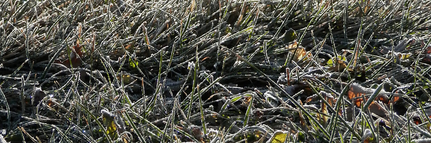
Frost can make a lawn sparkle while the nearby sidewalk, driveway, or road still looks bare. That difference can seem strange if the morning weather report says the air temperature never quite reached freezing. The key is that frost is not controlled only by the temperature measured a few feet above the ground. It forms on surfaces, and surfaces can cool at their own pace.
Grass blades are thin, exposed, and surrounded by moist air near the ground, so they can lose heat quickly on clear, calm nights. Pavement and roads usually hold more stored heat from the day and give it back more slowly. By sunrise, the grass may have slipped below the freezing point long enough for water vapor to become ice crystals, while the road beside it is still just wet, dry, or slightly warmer.
Frost Starts With a Surface, Not Just the Air
Weather stations usually report air temperature from a sheltered instrument above the ground, commonly around human height rather than at blade-of-grass height. That measurement is useful, but it does not tell the full story of what every nearby surface is doing. A thermometer might read 35 F while a grass blade, windshield, rooftop, or wooden fence rail has cooled below 32 F.
The National Weather Service describes frost as thin ice crystals that form on the ground or other surfaces when earthbound objects fall below freezing. It also notes that frost is mainly tied to radiational cooling and can happen even when the official thermometer-level temperature is in the mid-30s. That is why a forecast can mention patchy frost without predicting a hard freeze for the entire area.
For frost to appear, the surface also needs available moisture. If the surface is cold enough and the nearby air contains enough water vapor, that vapor can leave the air and collect as ice. Sometimes water vapor changes directly into ice crystals, a process called deposition. In other cases, dew forms first and then freezes as the surface temperature drops.
Clear Nights Let Grass Lose Heat Quickly
After sunset, the ground and everything on it release infrared energy upward. Clouds act a bit like a blanket because they absorb and re-radiate some of that energy back toward the surface. A clear sky lets more heat escape, so exposed objects cool faster. This is why frost is often most likely after calm, starry nights rather than cloudy ones.
Grass is especially good at cooling because each blade has very little mass. A thin blade does not store much heat, and it is exposed to the open sky from several sides. When the blade loses more energy than it receives from the air, soil, and nearby objects, its surface temperature can fall below the surrounding air temperature.
Light wind can sometimes help frost by bringing a small supply of moist air to cold surfaces. Stronger wind usually works against frost because it mixes the lowest layer of air with warmer air above it and keeps surfaces from cooling as sharply. The classic frost setup is clear sky, light wind, moist near-ground air, and enough nighttime cooling for exposed surfaces to reach the frost point.
Why Roads and Sidewalks Often Stay Clear
Pavement behaves differently from grass because it has more thermal mass. Asphalt, concrete, bricks, and packed stone can absorb heat during the day and release it slowly at night. Even if the top of a road cools, warmth stored slightly below the surface can move upward and delay the drop below freezing.
Roads also receive heat from traffic, nearby buildings, storm drains, and the ground underneath. A quiet rural lane can cool more than a busy city street, but pavement still tends to resist sudden temperature swings better than a blade of grass does. This is one reason a lawn can look white while the road next to it is still safe and unfrosted.
That does not mean roads are always warmer. Bridges, overpasses, and elevated ramps can freeze sooner than ordinary roads because cold air reaches them from above and below. Shaded pavement, low spots, and surfaces that were already wet can also become slick. Frost on grass is a useful clue that surfaces have cooled sharply, but it is not a complete road-safety report.
Moisture Decides Whether Ice Crystals Can Grow
Cold alone is not enough to make visible frost. The air near the surface must contain enough water vapor for ice to grow. Dew point is the temperature at which air becomes saturated with water vapor. When surface temperatures fall below freezing and reach the frost point, water vapor can collect as ice crystals instead of staying invisible in the air.
This is why two equally cold mornings can look different. A dry air mass may bring a chilly sunrise with little visible frost because there is not much moisture available. A more humid night can create a bright white coating because the air near the ground keeps supplying water vapor to the cold surface. Wet soil, damp grass, nearby creeks, and low-lying fields can all make frost more likely.
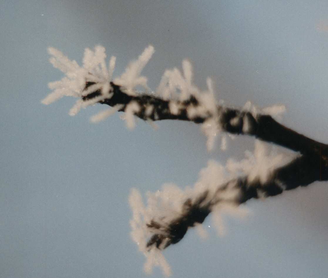
The Met Office explains that hoar frost forms by a process similar to dew, except the surface is below freezing. The ice can look feathery, fuzzy, or crystalline because water molecules attach to growing ice structures. Those delicate shapes disappear quickly once sunlight warms the surface or wind breaks up the cold, moist layer near the ground.
Low Spots Can Frost Before Nearby Higher Ground
Frost is often patchy because cold air does not sit evenly across a landscape. Cooler air is denser than warmer air, so on calm nights it can drain downhill and collect in valleys, hollows, fields, and low yards. Gardeners sometimes call these places frost pockets because they can freeze while nearby slopes remain a little warmer.
Small differences matter. A lawn beside a creek, a field below a hill, or a shaded backyard can frost earlier than an open, slightly higher area nearby. The National Weather Service points out that local topography, soil moisture, and vegetation all affect where frost develops. This helps explain why one neighborhood wakes up to white grass while another a few blocks away does not.
Plants also influence the air right around them. A grassy surface traps still air close to the ground and can stay moist after evening cooling begins. Bare soil, mulch, concrete, and pavement each cool and exchange moisture differently. Frost is really a local surface event, even when the broader weather pattern sets the stage.
What Frost Tells You About the Morning
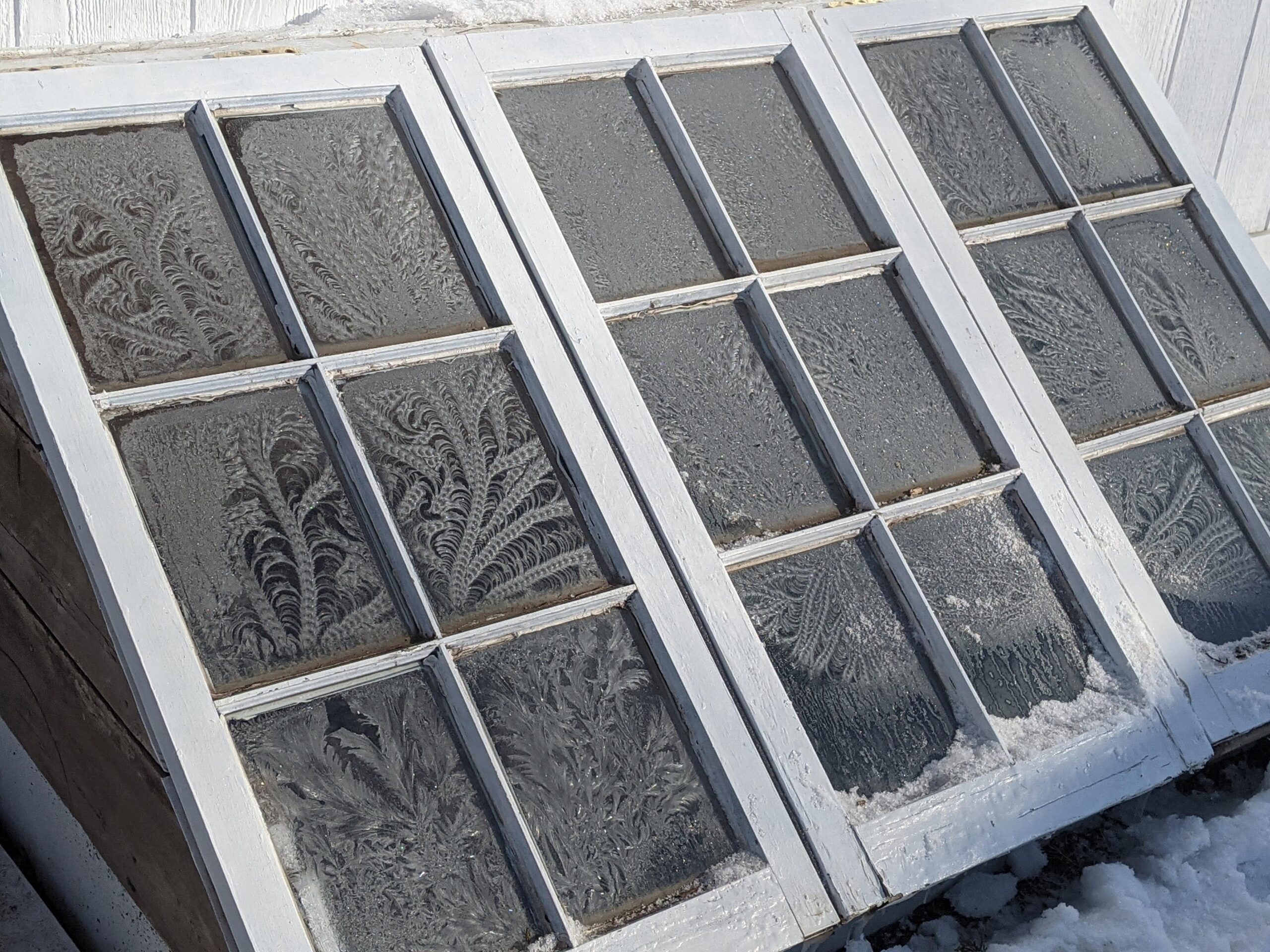
Frost on grass is a sign that exposed surfaces cooled below freezing, at least briefly. It does not always mean the whole air mass was below freezing, and it does not always mean roads are icy. It does show that the night was efficient at removing heat from the ground, especially if the sky was clear and the wind was light.
That detail matters for gardeners, walkers, drivers, and anyone reading a fall or spring forecast. Tender plants can be damaged by surface freezing even when the official low temperature stays above 32 F. Cars may need scraping because glass cools quickly, while nearby pavement looks normal. A sheltered porch plant may survive the same night that frosts an open lawn.
The practical lesson is simple: frost belongs to surfaces. Grass often shows it first because it cools quickly, sits in moist near-ground air, and has little stored heat to give back. Roads and sidewalks usually resist the change longer, but they are not immune. On clear, calm mornings near freezing, the white lawn is a visible reminder that the coldest part of the weather can happen just inches above the ground.