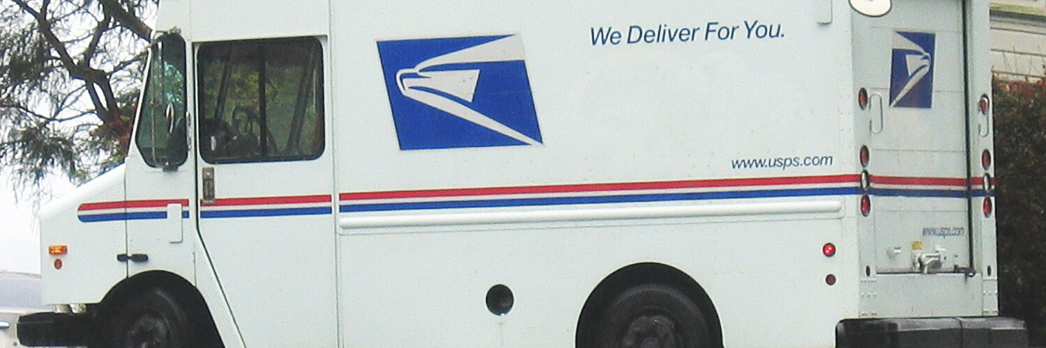
A ZIP Code looks like a small detail at the end of an address, but it does a lot of quiet work. Those five digits help connect a house, apartment, school, business, or post office box to a much larger movement system. Instead of asking every postal worker or machine to interpret a full address from scratch, the code gives an early clue about where the mail should go next.
That is why ZIP Codes are a useful geography topic, not just a mailing habit. They divide a national delivery network into manageable routing areas. They also show how places can be organized for movement: first broadly by region, then more narrowly by processing area, local post office, route, and delivery point. The code does not replace the street address, but it helps the address travel through the system with fewer wrong turns.
Why a Short Code Became Necessary
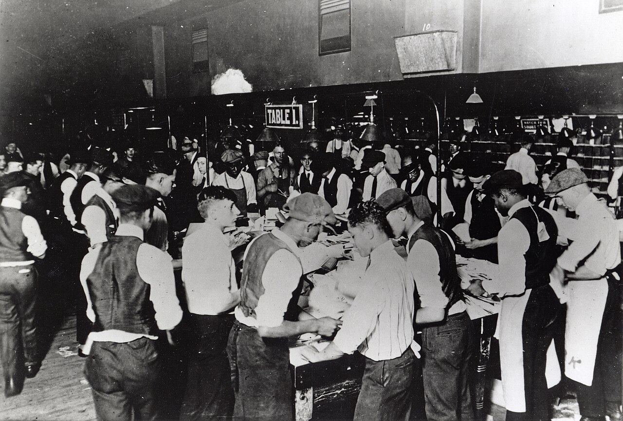
Before modern mail automation, sorting depended heavily on people who knew local routes, towns, rail connections, and post office districts. That worked better when mail volumes were smaller and many experienced clerks had deep local knowledge. As the country grew, businesses mailed more bills and advertisements, households moved more often, and long-distance mail became an ordinary part of daily life. A system built mostly on memory and manual sorting could not scale forever.
The Post Office Department introduced the Zone Improvement Plan in 1963 to make mail sorting faster and more consistent. The name explains the goal: a ZIP Code was a plan for improving postal zones. The idea was not simply to label places. It was to give mail a routing code that could guide workers, machines, and later computer systems through a growing national network.
The five-digit format made the system simple enough for the public to use. A person could add the code to an address without learning the whole postal infrastructure behind it. At the same time, the code carried enough information to help the postal system group mail before it reached the final carrier. That balance between public simplicity and internal usefulness is one reason the system lasted.
What the Digits Tell the Sorting System
A ZIP Code is not a random number assigned for decoration. Its structure moves from broad to narrow. The first digit points toward a large region of the United States. The next digits narrow the destination toward a sectional processing area and then a more local delivery area. The exact internal routing system has changed over time, but the basic idea remains the same: each digit adds more useful location information.
Imagine a letter traveling from Oregon to Georgia. The first useful question is not the name of the street. It is whether the letter belongs in the western, central, or eastern flow of mail. Once it reaches the correct broad region, the system can ask a smaller question: which processing area should handle it? Then the question becomes smaller again: which local post office, route, or delivery unit needs it?
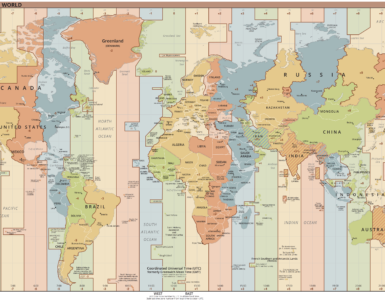
This step-by-step narrowing is similar to how a map works when you zoom in. A continent view helps you choose the right country. A state view helps you find a city. A city map helps you find a neighborhood and street. ZIP Codes bring that same layered logic to mail, except the layers are designed around movement and delivery rather than political borders.
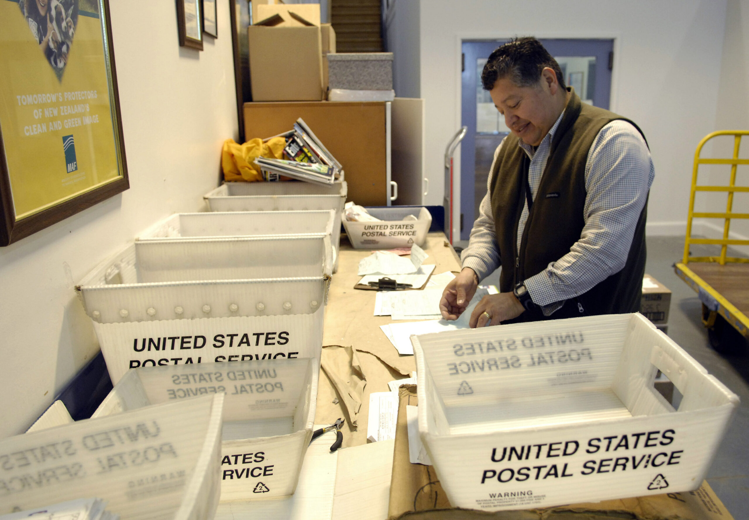
The code also helps mailers group items before they enter the system. USPS describes presorting as grouping pieces by ZIP Code so mail headed toward the same destination can move together in bundles, trays, sacks, or containers. That matters because mail that is already grouped by destination takes less work to process. For large mailers, doing some of that sorting ahead of time can lower postage because it reduces the work the postal system must do later.
Why ZIP Codes Are Not the Same as Neighborhoods
It is tempting to think of a ZIP Code as a neat place on a map, like a city, county, or school district. That can be misleading. ZIP Codes are built for mail delivery, not for drawing perfect community boundaries. A single ZIP Code may include parts of several neighborhoods. A town name in an address may reflect postal convenience more than municipal borders. Some addresses can even use a familiar city name without actually being inside that city’s legal limits.
This is why ZIP Codes can be useful and imperfect at the same time. They are excellent routing clues. They are familiar to residents. They help businesses estimate shipping, organize service areas, and show local options. But they are not always ideal for studying income, health, voting, school attendance, or neighborhood change. Those questions often need census tracts, city boundaries, school zones, or other units designed for analysis rather than delivery.
The difference matters because a code created for one purpose can be reused for another. ZIP Codes often appear in maps, forms, data sets, and search tools because they are easy to recognize. That convenience can hide the fact that the code follows mail routes, high-volume addresses, post office boxes, and delivery operations. A ZIP Code may feel like a place, but it is really a postal tool that happens to describe place in a useful, imperfect way.
How Automation Changed the Role of the Code
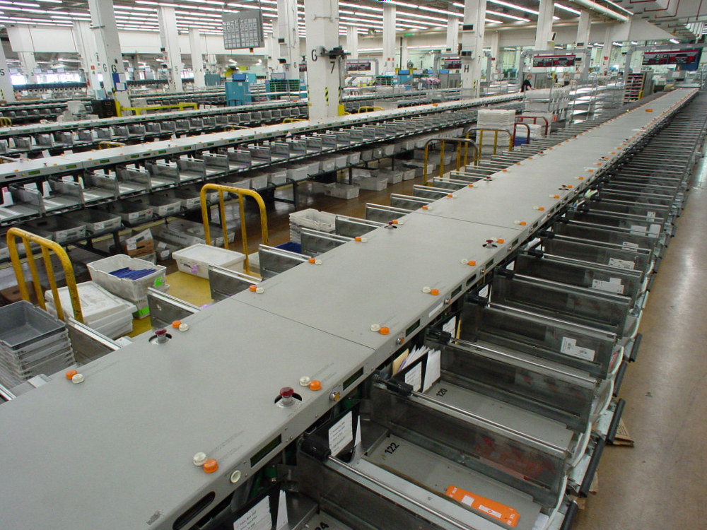
ZIP Codes became even more powerful as mail processing became more automated. A human clerk can read an address and make a judgment. A machine needs a more systematic way to identify, encode, and route each piece. The ZIP Code helped mail become machine-readable because it turned part of the destination into a predictable numeric pattern.
Over time, optical character recognition, barcodes, address databases, and computerized sorting equipment made the process more precise. A machine can read the printed address, compare it with known address records, apply routing information, and send the piece toward the correct tray or bin. The five-digit ZIP Code still helps, but modern sorting can go beyond it.
That is where ZIP+4 fits in. The extra four digits narrow the destination more than the basic five digits can. They may identify a side of a street, a group of apartments, a large business, a post office box range, or another smaller delivery segment. Most people do not need to memorize or write ZIP+4 every time, but it helps automated systems and large mailers route mail more accurately.
Barcodes take the idea further. A printed barcode can represent detailed delivery information in a form machines can scan quickly. The address a person sees and the routing data a machine reads are connected parts of the same journey. The visible ZIP Code helps humans write and check the address, while the machine-readable version helps the system move the mail at scale.
What ZIP Codes Reveal About Geography
ZIP Codes are a reminder that geography is not only about mountains, rivers, and borders. It is also about networks. Mail moves through a system of collection boxes, post offices, processing centers, transportation routes, carriers, buildings, and delivery points. Each address sits inside that network, and the ZIP Code helps connect the local point to the national flow.
That network view explains why two nearby places may have different ZIP Codes, while two places that feel socially connected may share one. The code follows the logic of delivery. Roads, processing facilities, route efficiency, population growth, and mail volume all influence how the system is organized. When a city grows or a delivery area becomes too large, postal boundaries may change even if neighborhood identity stays the same.
ZIP Codes also show how infrastructure becomes part of everyday thinking. People use them to check weather, estimate shipping, find stores, compare housing markets, and describe where they live. A tool invented to move letters more efficiently became a common shorthand for location. That usefulness is real, but it works best when readers remember what the code was built to do.
The Small Code at the End of the Address
The most important part of a ZIP Code is not that it names a place perfectly. It is that it helps a moving object make progress. A letter or package starts with a detailed address, but the postal system cannot treat every piece as a completely separate puzzle from the beginning. It needs ways to group, route, scan, and narrow destinations in a reliable order.
Five digits make that possible. They turn millions of individual addresses into patterns that people and machines can handle. The code helps the system move from a national question to a regional question, then to a local question, then finally to a carrier and a delivery point. That is a quiet kind of geography, but it shapes how homes, schools, businesses, and communities stay connected.
The next time a ZIP Code feels like a formality, it is worth noticing what it does. It compresses a route into a short signal. It helps mail join the right stream, leave that stream at the right point, and get close enough for the street address to finish the job.


Add comment