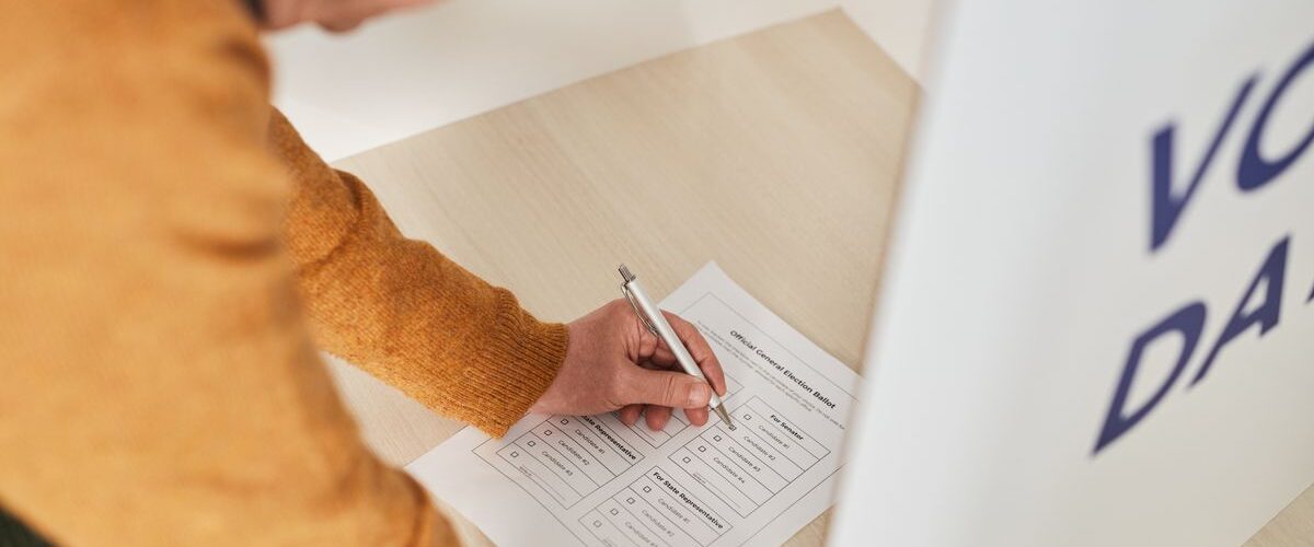
A single vote does not carry the same practical weight in every election. In a representative system, voters are grouped into districts, and each district chooses one or more representatives. That means the lines on a map can shape who has a realistic chance to win, whose community stays together, and whether a large group of voters can turn support into seats.
Gerrymandering happens when district boundaries are drawn to give one party, group, or set of incumbents an unfair advantage. The word is old, but the problem is not a museum piece. Modern mapmakers can use detailed census data, voting history, and mapping software to test thousands of possible district plans. A map that looks technical can quietly change political power for years.
Redistricting itself is normal and necessary. Gerrymandering is what happens when that necessary process is bent toward unfair control. The difference matters because fair district lines help voters choose representatives, while manipulated lines can make representatives less accountable to voters.
Why District Lines Matter So Much
Most people think of elections as a simple count: more votes should mean more power. District elections are more complicated. A party or group can win many votes statewide but still win fewer seats if its supporters are spread in certain ways. The shape of the districts decides which voters are counted together.
Imagine a state with five districts and two groups of voters. If the groups are distributed evenly, the final seats may roughly reflect the overall vote. But if one group is packed into one district with an overwhelming majority, its extra votes do not help it win other districts. If the same group is split thinly across several districts, it may come close in many places but win few seats.
That is why districting is not just geography. It is a rule for turning votes into representation. Roads, rivers, county lines, neighborhoods, and population shifts all matter, but so do choices about which communities stay together and which ones are split apart.

The U.S. Census Bureau provides population data used for redistricting after each decennial census. Federal law requires detailed redistricting data so states can redraw legislative boundaries with current population counts. The basic principle is equal representation: districts should not become wildly unequal simply because people have moved.
Population equality, however, is only the beginning. Two maps can have similarly sized districts and still produce very different political results. That is where gerrymandering enters the picture.
Packing and Cracking: The Two Main Tricks
The most common explanations of gerrymandering use two plain words: packing and cracking. They sound casual, but they describe powerful mapmaking strategies.
Packing means concentrating many voters from the opposing side into a small number of districts. Those voters may win one district by a huge margin, but their extra votes cannot help in nearby districts. A packed district can look like a strong victory while the wider map weakens that group’s overall influence.
Cracking works in the opposite direction. Instead of putting a group together, mapmakers split it across several districts. The group may have enough voters to influence elections if kept together, but not enough to win once divided. Cracking can make a politically meaningful community look smaller than it really is.
These strategies often work together. A map might pack some voters into one district and crack others across surrounding districts. The result can be a seat breakdown that does not match the overall vote very well.
Shape alone does not prove gerrymandering. Some odd-looking districts follow coastlines, mountains, city borders, tribal lands, or communities with shared interests. A compact district can still be unfair, and a strange-looking district can sometimes have a legitimate reason. To judge a map, analysts look at patterns: population, voting results, racial and ethnic data, communities of interest, competitiveness, and how the map compares with many alternative plans.
How Redistricting Is Supposed to Work
Redistricting usually happens after the census, when population counts reveal which areas have grown, shrunk, or shifted. States then redraw congressional and state legislative districts so representation reflects the new population. The exact process differs by state. Some legislatures draw the maps, some states use commissions, and some use a mix of legislative and independent review.
A fair map has to balance several goals that can pull in different directions. Districts should have roughly equal population. They should follow legal protections against racial discrimination. They may try to keep counties, cities, neighborhoods, or communities of interest intact. They may also aim for compactness, contiguity, and understandable boundaries.
None of those goals automatically removes politics. A mapmaker can follow some rules while still making choices that favor one side. For example, keeping a city together might protect a community’s voice, but splitting the same city among several suburban districts could reduce that voice. The explanation behind the choice matters, and so does the effect.

Modern redistricting also involves far more data than early mapmakers had. Census blocks, past election results, demographic patterns, and geographic information systems can be layered together. That can make maps more accurate, but it can also make manipulation more precise. A district no longer has to look bizarre to be carefully engineered.
Why Gerrymandering Can Make Elections Less Competitive
One of the clearest effects of gerrymandering is reduced competition. If a district is drawn so one party has a large built-in advantage, the general election may become predictable before voters hear from the candidates. The real contest may shift to a primary election, where a smaller and more partisan group of voters often has more influence.
Safe districts can change how representatives behave. A representative who worries mostly about a primary challenge may have less incentive to appeal to voters across the district. That can reward sharper partisan positions and weaken compromise. The district still holds elections, but the map has narrowed the range of likely outcomes.
Gerrymandering can also create a mismatch between votes and seats. A party might win close to half the statewide vote but far less than half the seats, or it might keep a large seat advantage even when public opinion shifts. Not every mismatch is caused by gerrymandering. Voters are not spread evenly, and people often cluster by region, city, suburb, and rural area. Still, manipulated maps can make natural geographic patterns much stronger than they would otherwise be.
This is why courts, scholars, journalists, and civic organizations often compare a challenged map with other possible maps. If thousands of reasonable alternatives would produce more balanced outcomes, an extreme map deserves closer attention.
Partisan, Racial, and Incumbent Gerrymanders
Not all gerrymanders have the same purpose. A partisan gerrymander aims to help one political party win more seats than its vote share would normally suggest. An incumbent-protection gerrymander draws districts to protect sitting officeholders, sometimes from both parties. A racial gerrymander uses race improperly in drawing lines, either by diluting the voting power of a racial group or by sorting voters by race in ways the Constitution and voting-rights law do not allow.
The legal rules are complicated. In 2019, the U.S. Supreme Court ruled in Rucho v. Common Cause that partisan gerrymandering claims are political questions beyond the reach of federal courts. That did not make partisan gerrymandering admirable or harmless. It meant federal courts would not use the Constitution to decide those claims. State courts, state constitutions, independent commissions, and ballot measures can still matter.
Racial gerrymandering is treated differently. The Fourteenth Amendment and the Voting Rights Act can limit maps that weaken minority voters’ ability to elect candidates of their choice or that sort voters by race without sufficient legal justification. In real cases, race and party can overlap, which makes disputes difficult. A mapmaker may claim partisan reasons while opponents argue that the map harms voters of a protected racial group.
For students, the key point is that gerrymandering is not only about strange shapes or one party behaving badly. It is about power: who gets grouped with whom, whose votes can combine effectively, and whether the final map lets communities translate support into representation.
How to Read a District Map More Carefully
A district map is easier to understand when you ask a few practical questions. Who drew the map? What rules did they have to follow? Which communities were kept together, and which were split? Do the districts have similar population? Do election results show many competitive seats, or are most outcomes nearly locked in?
It also helps to separate normal redistricting from suspicious redistricting. Population changes can make old lines outdated. A growing city may need more representation, while a shrinking region may need fewer districts. Those adjustments can be fair even when they disappoint some voters. The warning sign is not change by itself; it is change that consistently protects one side, splits communities without a strong reason, or creates outcomes that are hard to explain except as political advantage.
Better mapmaking does not require pretending geography is simple. Communities overlap. Fairness can mean different things depending on whether someone values compact districts, competitive elections, minority representation, county boundaries, or proportional outcomes. Still, transparency helps. Public hearings, clear criteria, accessible draft maps, and independent analysis make it harder for manipulation to hide behind technical language.
Gerrymandering matters because representation is the bridge between voters and government. When district lines are fair, elections can respond more naturally to public opinion. When lines are manipulated, the map itself becomes part of the campaign. A voter still casts a ballot, but the district may already have done quiet work before Election Day arrives.


Add comment