
 Akshay Dinesh
A thunderstorm can organize in less time than it takes to finish a school day. Smoke can cross a state line while an older forecast is still on a phone screen. Coastal winds, mountain snow bands, and flash-flood-producing rain can also change on scales that broad weather maps struggle to show. Short-range forecasting therefore depends on two abilities at once: seeing the atmosphere in fine detail and starting the calculation again as fresh observations arrive.
NOAA’s Rapid Refresh Forecast System, or RRFS, became operational on November 3, 2026, to strengthen that part of the forecast process. It produces high-resolution guidance across North America, updates frequently, and includes an ensemble that estimates the probability of local hazards. The system does not replace a human forecaster or promise the exact path of every storm. Its job is to turn an enormous stream of observations and physical equations into a useful set of possible futures.
A Forecast Begins by Reconstructing the Present
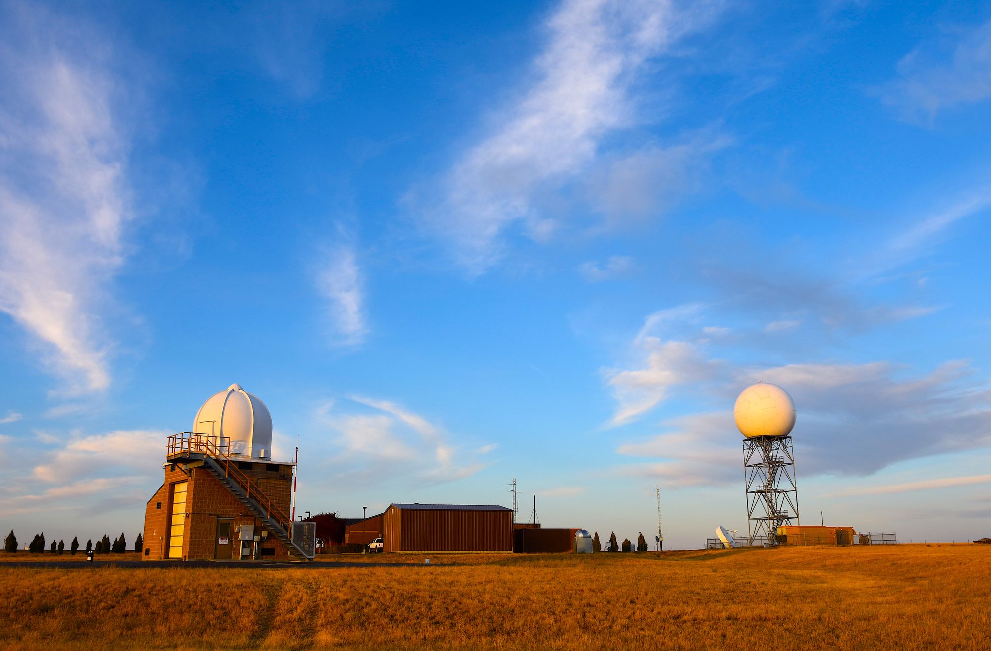
A weather model cannot simply look out a window and begin predicting. It first needs a three-dimensional estimate of the atmosphere’s current state: temperature, moisture, pressure, wind, clouds, and other variables from near the ground to high above it. No observing network measures every point. Surface stations are unevenly spaced, radar beams climb above the ground with distance, weather balloons are launched only at certain places and times, and satellites often measure radiation that must be translated into atmospheric conditions.
Data assimilation combines those incomplete observations with a recent model forecast. The previous forecast fills gaps between measurements, while radar, satellites, aircraft reports, balloons, buoys, and ground stations pull the estimate back toward what has actually been observed. The process also has to account for measurement errors and for the fact that different instruments observe different parts of the atmosphere. The result is called an analysis. It is not a photograph, but it is the model’s best physically consistent description of the starting point.
Frequent restarts matter because small errors grow. If the analysis places a boundary between warm, humid air and cooler air a little too far west, the model may form thunderstorms in the wrong corridor. New radar and surface observations can reveal that mistake, allowing the next cycle to begin from a better position. RRFS generates an 18-hour forecast every hour, so forecasters repeatedly receive guidance built from a newly updated atmosphere rather than waiting much of the day for another run.
What a 3-Kilometer Grid Can See
RRFS divides its North American domain into grid cells spaced about 3 kilometers apart. That is fine enough for the model to simulate the broad structure of many thunderstorms directly. Older, coarser systems often had to represent thunderstorm effects through simplified rules because a storm was smaller than several grid cells. Meteorologists call a model at RRFS’s scale convection-allowing: it can produce organized storm cells, squall lines, and rain bands without using the same broad approximation for every thunderstorm.
The phrase does not mean that the model resolves every cloud or tornado. A 3-kilometer cell covers several square miles, and the equations describe average conditions within that volume of air. A narrow tornado, a street-level wind gust, or a single shower may be far smaller. Mountains, coastlines, lakes, and cities are also more complicated than a grid can fully represent. Higher resolution gives the model more room to form realistic weather structures, but it does not remove uncertainty.
RRFS covers the contiguous United States, Alaska, Hawaii, Puerto Rico, Canada, Mexico, Central America, the Caribbean, and surrounding waters within one high-resolution domain. That breadth helps weather systems remain continuous as they cross coastlines or national borders. It also reduces the need to stitch together different regional models when a storm moves from the Pacific into Alaska, from Mexico into the southern United States, or from land into coastal waters.
Why Rapid Updates Change the Forecast
A long-range global model is designed to follow large weather patterns for many days. RRFS concentrates on the next few hours through roughly three and a half days. Its hourly cycles look 18 hours ahead, while runs started every six hours extend to 84 hours. NOAA’s High-Resolution Rapid Refresh model, commonly called HRRR, has provided hourly 3-kilometer guidance over the contiguous United States with forecasts extending as far as 48 hours. RRFS adds a broader domain and longer extended runs while NOAA continues operating HRRR.
Rapid cycling is especially valuable when observations show that the atmosphere is departing from an earlier forecast. Imagine that morning storms leave behind a pool of cool air. The edge of that air can become the focus for new afternoon thunderstorms, but only if the model knows where the boundary is and how quickly it is moving. An older run may miss the new setup. A later run can assimilate the storm’s effects and calculate a different afternoon outcome.
Forecasters do not automatically accept the newest run as correct. A fresh model can still develop an unrealistic storm, mishandle cloud cover, or overreact to noisy observations. Meteorologists compare successive cycles, other models, radar trends, satellite imagery, and their knowledge of local terrain and storm behavior. When several sources converge, confidence grows. When the newest runs jump between very different solutions, that instability is useful evidence that the situation remains hard to predict.
An Ensemble Turns One Forecast Into Probabilities
A single model run gives one internally consistent future, even though the starting atmosphere and the model’s physics are uncertain. The Rapid Ensemble Forecast System, or REFS, addresses that problem by producing a group of related forecasts. Its members begin with slightly different conditions or represent atmospheric processes in different ways. If most members develop severe hail in the same region, that agreement can support a higher probability. If their storm tracks scatter widely, a precise-looking line on one map deserves less trust.

This is a major reason an ensemble is more than a collection of extra maps. Emergency managers rarely need to know only the most likely outcome. They may need to know whether there is a small but serious chance of a flash flood, destructive hail, or a line of damaging winds. A probability helps them weigh the cost of acting against the cost of being surprised. The ensemble can also show where confidence changes sharply from one county to the next.
Probability still requires interpretation. If 30 percent of members show a hazard, that does not automatically mean the real-world probability is exactly 30 percent. Model members can share biases, and rare events are difficult to sample with a limited ensemble. Forecasters compare model probabilities with observations, past model performance, and the physical setup. The value lies in making uncertainty visible instead of hiding it behind one polished forecast line.
Smoke, Fire, and the Limits of Better Guidance
RRFS includes specialized tools beyond ordinary temperature, wind, and precipitation forecasts. An on-demand 1.5-kilometer mode can focus extra detail on areas facing severe storms, complex winter weather, or dangerous fire conditions. RRFS-SD, the smoke-and-dust component, predicts how particles may travel between 18 and 84 hours ahead. It separates smoke aloft, which can affect aviation and sunlight, from particles near the surface, which matter most for visibility and health alerts. The system also produces an hourly estimate of conditions that could support rapid wildfire spread.
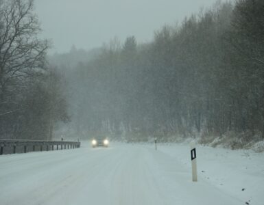
These capabilities connect weather prediction to decisions people actually make. Fire crews need to anticipate shifting winds. Aviation planners care about thunderstorms, icing, turbulence, and smoke at flight levels. Transportation departments need to know where a narrow snow or ice band may cross a busy corridor. Local forecast offices and emergency managers need guidance that covers borders and coastlines without an abrupt change of model at the edge.
Operational status does not make the system infallible. NOAA evaluated RRFS in real-time and retrospective cases before implementation, and its performance will continue to be measured against observations. Some weather patterns will expose biases that were less obvious during testing. Model developers can improve later versions, while forecasters learn when the new guidance is especially reliable and when it needs extra caution. That cycle of testing, verification, and revision is how numerical prediction advances.
The public may never see the name RRFS in an ordinary forecast. Its output will usually pass through meteorologists, blended guidance, alerts, broadcasters, and weather services before reaching a screen. Yet the change matters. A forecast is only as useful as its ability to absorb what the atmosphere is doing now, represent the features that shape the next storm, and communicate the range of plausible outcomes. RRFS strengthens all three parts while leaving the final judgment where it belongs: with forecasters who understand both the model and the weather outside it.