Akshay Dinesh
A rainforest seems like the last place that should burn easily. Its leaves drip after storms, its air is humid, and its name suggests a landscape protected by water. Yet when rainfall fails for months, the Amazon can change in a dangerous way: leaves and small branches dry on the forest floor, shallow roots lose access to moisture, and fires set for farms or pastures can escape into the trees.
El Niño helps create those conditions, but not everywhere at once. By shifting tropical rainfall across oceans and continents, it can produce a sequence of drought and fire that moves through the tropics over many months. Researchers call this pattern a pan-tropical fire cascade. In 2026, satellites and air-quality monitors showed the sequence moving from equatorial Asia toward the central and eastern Amazon, where smoke disrupted life in cities including Manaus.
The chain is not a row of flames traveling across a map. It is a delayed climate response: the same disturbance in the tropical Pacific changes the odds of dry weather in different regions at different times. Understanding that delay makes the fires less mysterious and, crucially, more predictable.
Why a wet rainforest can become flammable
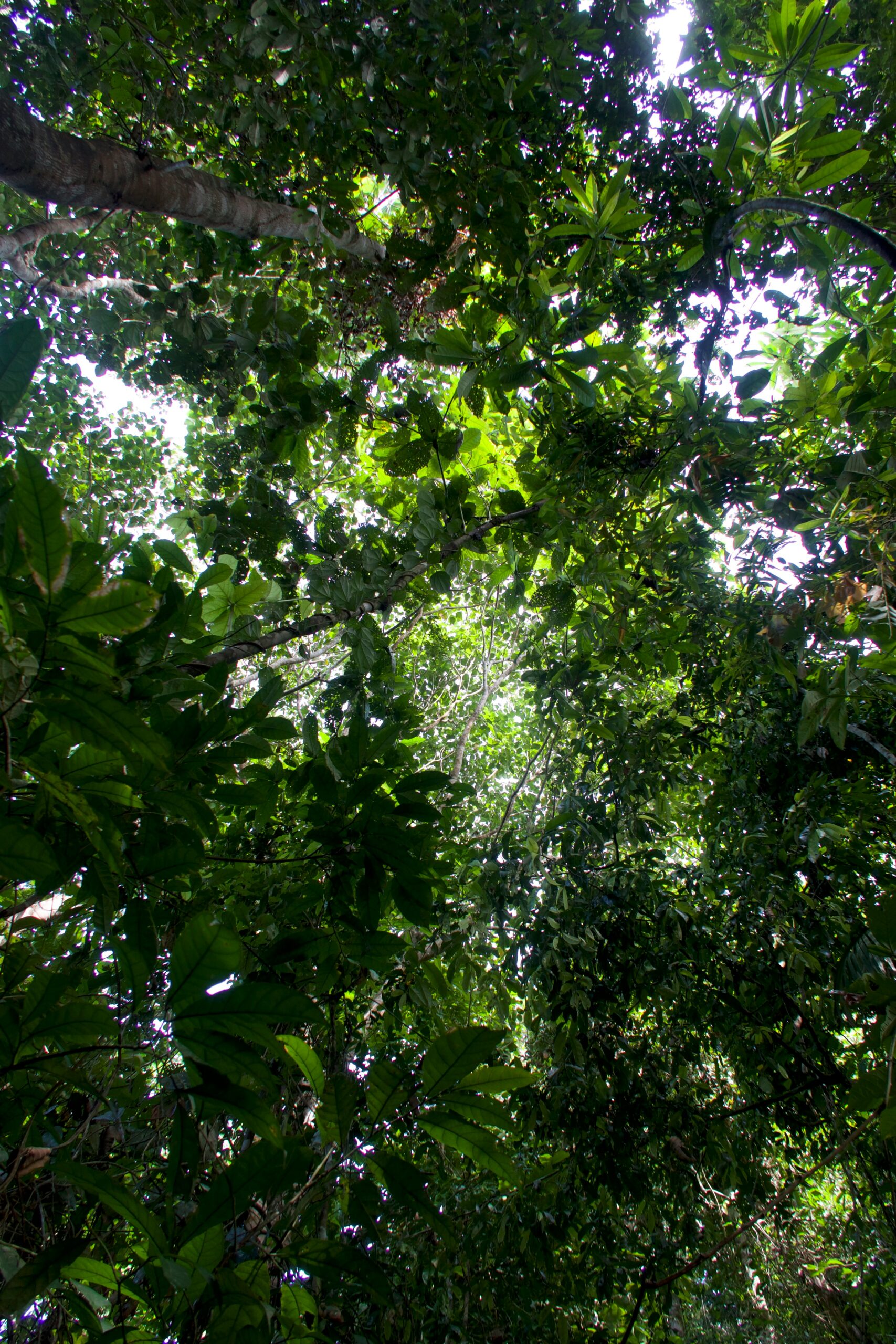
Healthy tropical rainforest is usually resistant to fire. A dense canopy blocks much of the sunlight, while moist leaves, living plants, and humid air make it difficult for a flame to spread. Natural ignition is uncommon in the Brazilian Amazon. NASA Earth system scientist Douglas Morton has noted that lightning starts less than 1 percent of fires there, which means people ignite the overwhelming majority.
Many of those ignitions begin as management fires. Farmers and ranchers may burn cut vegetation or clear weeds from a field or pasture. In an ordinary wet period, nearby forest can slow or stop an escaped flame. During a strong drought, however, the forest floor collects dry fuel. A low, creeping fire can move through leaf litter and fallen wood beneath the canopy, sometimes with flames too small to resemble the towering wildfires seen in drier forests.
El Niño does not strike the match. It acts as a powerful risk amplifier by rearranging rainfall and extending dry conditions. In August 2026, Brazil’s National Institute of Meteorology reported rainfall around Manaus at 95 percent below normal; September was 60 percent below normal. By October, fires around Manaus and Santarém were sending thick smoke across the region. Manaus officials reported very poor air quality, and schools, sports, and public events were disrupted.
This distinction between ignition and climate is important. Blaming fire only on drought hides the human decisions that begin most burns. Blaming it only on people misses why a small field fire can suddenly escape into a normally damp ecosystem. Severe seasons emerge when ignition, dry fuel, weather, and land use line up.
How Pacific warming moves fire risk across the tropics
El Niño begins in the tropical Pacific, where unusually warm surface water weakens or rearranges the normal trade winds and atmospheric circulation. The effects do not stay over the ocean. Rising and sinking air shift, storm tracks move, and familiar rainy seasons can weaken or arrive late. Because each tropical region has its own seasonal rhythm, the driest conditions do not occur everywhere at the same moment.
A 2017 study led by Yang Chen and published in Nature Climate Change reconstructed this timing with satellite observations from six El Niño and six La Niña events between 1997 and 2016. Across tropical forests, the researchers found that lower rainfall and reduced terrestrial water storage raised fire emissions by an average of 133 percent during and after El Niño compared with La Niña. The peaks formed a recognizable sequence rather than a single global pulse.
Fire anomalies tended to appear first in equatorial Asia from roughly August through October as El Niño strengthened. Elevated activity then reached Southeast Asia and northern South America, followed by Central America and, later, the southern Amazon. Aerosol and carbon-monoxide observations confirmed the broad progression. The calendar varied from event to event, but the underlying idea held: ocean conditions months earlier could help anticipate when distant tropical landscapes would face their most dangerous window.
The 2026 season followed that logic. Drought and peat fires affected parts of Indonesia beginning in August. By September and October, satellite systems recorded sharp increases in fire activity and smoke in the central and eastern Amazon. Researchers expected risk to move farther north late in the year, with the southern Amazon potentially facing its peak much later. The sequence resembles falling dominoes only in timing; each region still requires local drought, fuel, and ignition for a severe season to develop.
What satellites see, and what the canopy hides
Modern fire monitoring combines several kinds of evidence. NASA’s MODIS instrument aboard the Aqua satellite captures wide views of smoke and the land surface. The VIIRS instrument detects thermal signals at finer resolution, while the Fire Information for Resource Management System, known as FIRMS, distributes near-real-time fire observations. The Global Fire Emissions Database estimates how much material is burning and how much carbon enters the atmosphere.
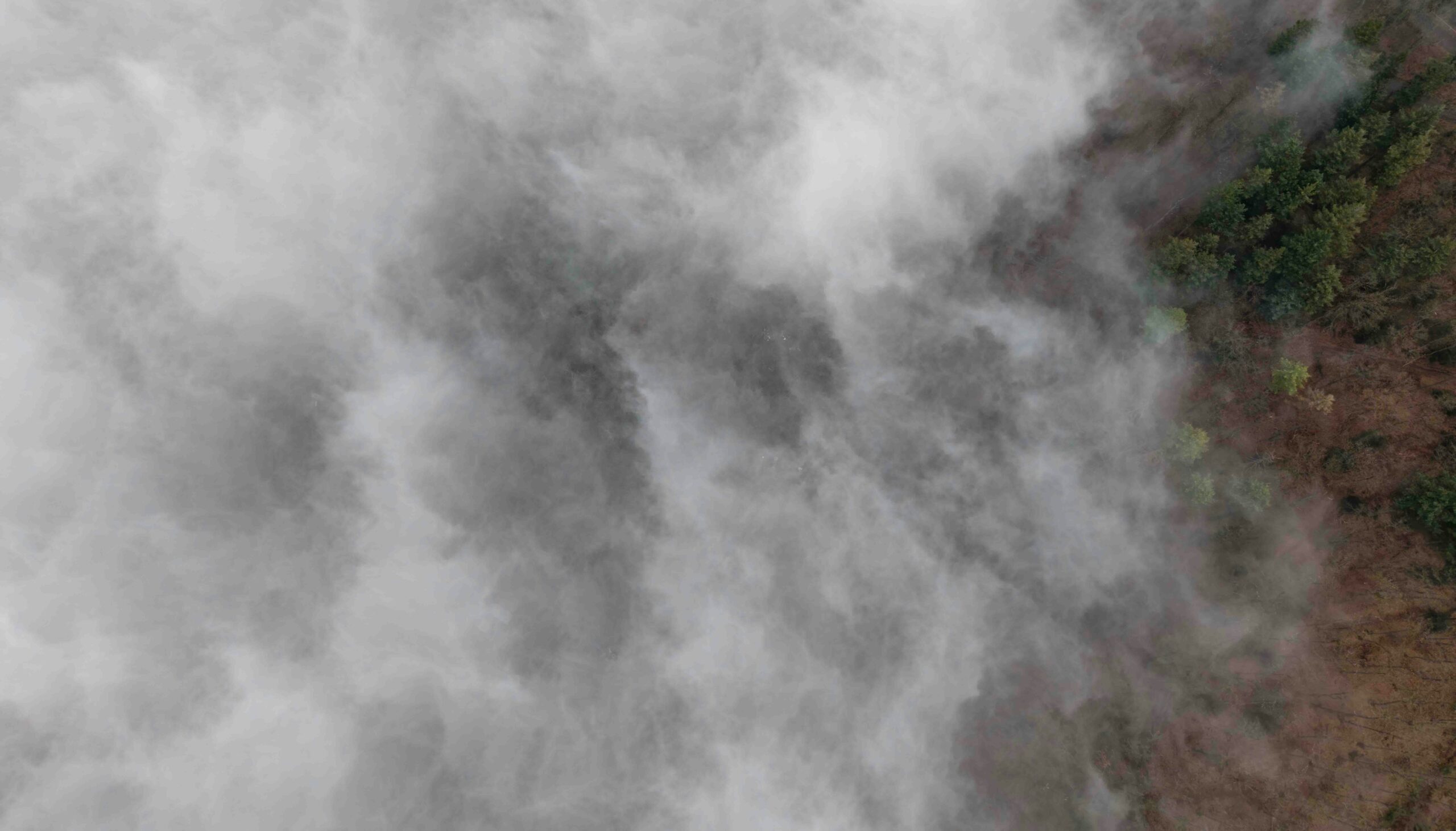
These tools are excellent, but they do not produce a perfect fire count. A sensor usually needs a clear enough view and a strong enough infrared signal. Clouds can obscure the ground. Thick smoke can interfere with the view. Most challenging of all, an Amazon fire may creep below a closed canopy, where leaves and branches hide much of its heat from a passing satellite.
That blind spot can make an already serious season look smaller than it is. University of Maryland researcher Shane Coffield and colleagues examined extra information from VIIRS to identify possible fires that did not meet the usual threshold for official products. Near Santarém, their analysis found about 40 percent more candidate fires than appeared in standard FIRMS active-fire counts. On exceptionally smoky days, conventional detections sometimes fell even when researchers had good reason to believe fires were still spreading.
No single image or number therefore tells the full story. Scientists compare heat detections, smoke plumes, emissions estimates, rainfall records, air-quality measurements, and reports from the ground. Agreement among those independent signals is far more informative than a dramatic satellite photograph by itself. It also helps emergency managers distinguish a few visible burns from a broad, persistent regional event.
Why repeated fire changes the forest
Many plants in grasslands, savannas, and some dry forests have traits that help them survive periodic fire. Thick bark, protected buds, or seeds triggered by heat are part of ecosystems that evolved with burning. Most Amazon rainforest species did not develop under frequent fire. Even a low-intensity understory burn can kill thin-barked trees slowly, leaving damage that becomes obvious months or years later.
Once fire enters the forest, it can make a future fire easier. Dead trees drop branches and open gaps in the canopy. More sunlight and wind reach the forest floor, drying vegetation that would otherwise remain shaded. Vines and grasses may expand in the gaps, adding fine fuels that ignite readily. Researchers describe this as a feedback: fire degrades the forest, and degradation increases its vulnerability to the next drought and burn.
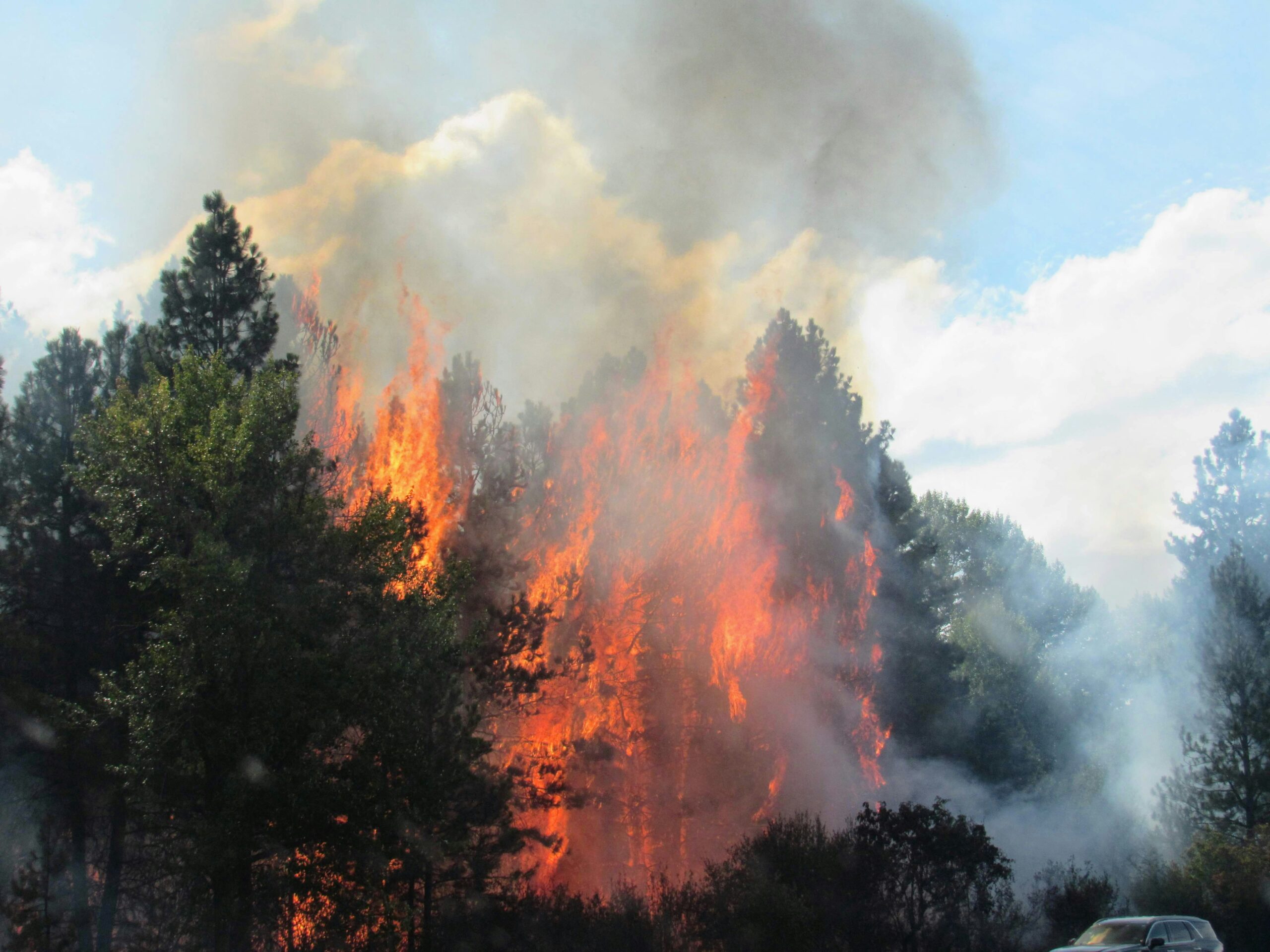
That is why repeated fires in the same area carry more weight than a simple annual fire total suggests. Morton observed in 2026 that some forests burning during the current El Niño had also burned in 2023 and during the powerful 2015–2016 event. Partly charred and weakened trees can turn a later fire into a more intense disturbance. The consequences reach beyond individual plants: habitat structure changes, wildlife loses shelter and food, smoke harms people downwind, and stored carbon returns to the atmosphere.
The damage is uneven. A heavily cleared edge, a fragmented forest, and an intact interior do not face the same conditions. Roads and fields create more boundaries where human ignition can reach vegetation. That is another reason a climate explanation must include land use. El Niño helps establish the regional hazard, while the condition and management of each landscape shape what happens next.
A forecast creates time to prevent the next fire
The fire cascade turns a distant ocean signal into practical lead time. If researchers know that a strong El Niño is drying equatorial Asia now, they can watch rainfall, soil moisture, water storage, and vegetation stress in regions that historically follow later. Seasonal forecasts cannot identify the exact field where a fire will start, but they can show where escaped burns are becoming unusually dangerous.
That warning can guide real choices. Authorities can tighten or enforce restrictions on open burning, pre-position firefighting equipment, prepare health services for smoke, and focus satellite analysis on places where understory fires are easy to miss. Land managers can reduce accidental ignitions near vulnerable forest. Communities can plan for school closures, outdoor-work limits, and cleaner indoor air before smoke becomes severe.
Forecasting also prevents a common misunderstanding. El Niño is not a remote force that makes destructive fire inevitable. It changes probability and timing. Human actions still determine most ignitions in the Amazon, and preparation can interrupt the chain between a dry season and a disaster.
The most useful way to read the 2026 Amazon fires is therefore as both an alarm and a forecast. The smoke over Manaus shows what prolonged drought and escaped burns can do now. The larger tropical pattern points to where danger may rise next. A climate signal measured thousands of kilometers away cannot put out a fire, but it can provide the months of warning needed to stop many fires from starting.