 Akshay Dinesh
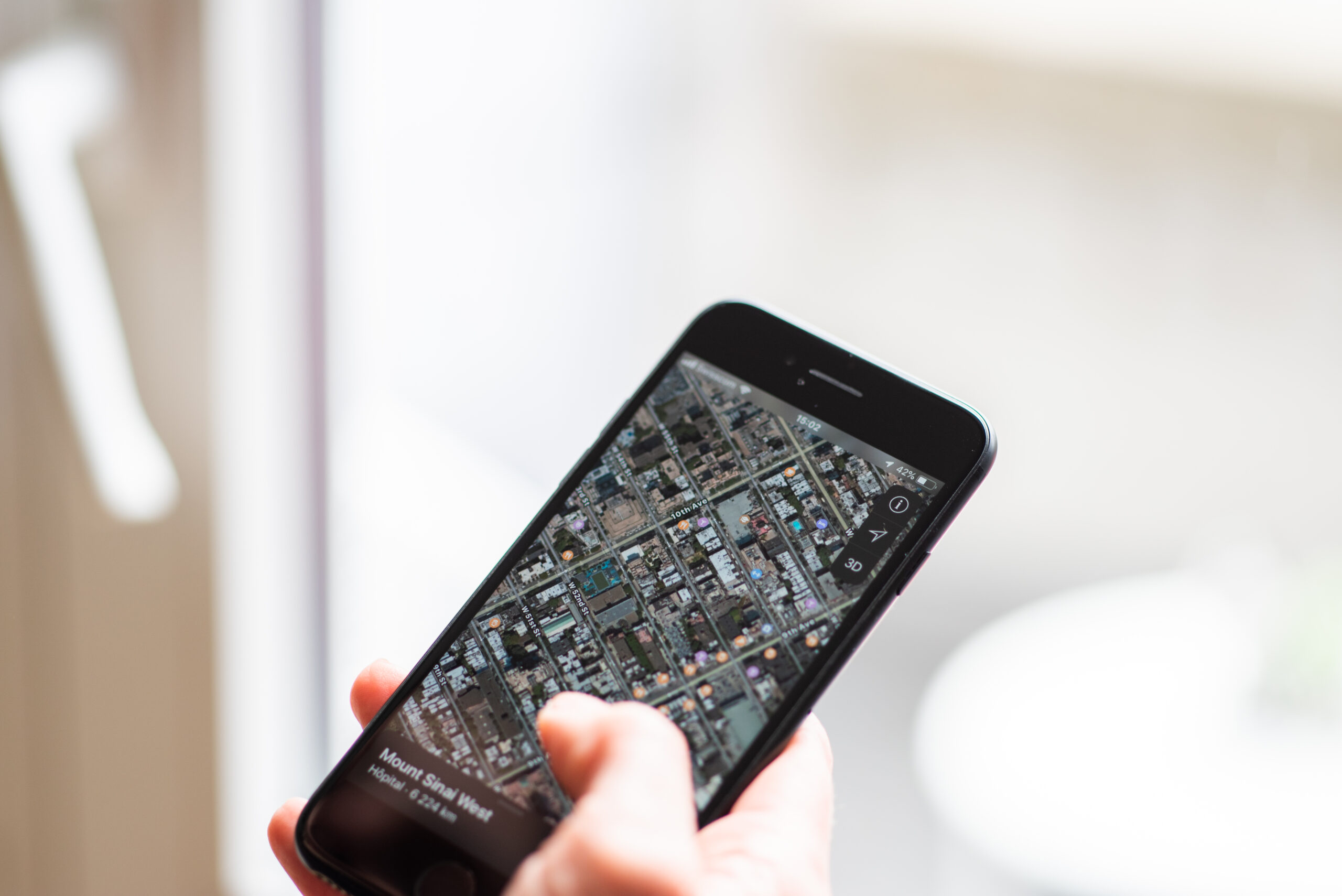
A phone does not have to know exactly where you are every second to react when you arrive somewhere. Many apps use a simpler idea: draw an invisible boundary around a place, then watch for the moment a device crosses that boundary. That is geofencing. It turns location from a moving blue dot into a practical trigger.
Geofencing is why a reminder can appear when someone gets near a grocery store, a smart thermostat can prepare for a person coming home, a school app can send an arrival notice, or a store can offer a coupon when a shopper is nearby. The same idea can support safety alerts, fleet tracking, attendance systems, transit tools, and location-based games. The technology sounds precise, but it works best when the boundary is understood as a zone of probability rather than a painted line on the ground.
A Geofence Is a Rule Around a Place
At its simplest, a geofence combines three pieces: a center point, a radius, and an action. The center point might be a school, office, airport gate, store, home, parking lot, or event venue. The radius defines how wide the virtual boundary is. The action is what happens when the device appears to enter, leave, or remain inside that area.
Apple describes this kind of region monitoring as a way for an app to be alerted when a user enters or exits a geographical region. Android uses similar language for geofences, combining awareness of a device’s current location with awareness of nearby places of interest. In both cases, the app is not drawing a physical wall. It is registering a condition that says, in effect, tell me when this device gets close enough to this place.
That distinction matters. A geofence is not usually meant to decide whether a person is exactly inside one room, standing at one doorway, or sitting at one table. It is better suited to larger areas where a little uncertainty is acceptable. A reminder to buy milk can tolerate a boundary that fires near a supermarket entrance. A system that must know which side of a classroom wall a person is on needs a different level of precision.
The action can also vary. Some geofences send a push notification. Others log an arrival, change a setting, update a map, unlock a digital feature, or start a workflow in the background. The phone may not show anything at all. From the user’s point of view, the app simply seems to notice the right moment.
Why the Boundary Is Usually Wider Than You Expect
A common mistake is imagining geofencing as a sharp digital fence. Real phone location is messier. A device may estimate position from GPS satellites, nearby Wi-Fi networks, cell towers, Bluetooth beacons, motion sensors, and operating-system location services. Each signal has strengths, limits, and timing delays.
GPS can work well outdoors, especially with a clear view of the sky, but it can be slower and weaker indoors or among tall buildings. Wi-Fi can help in cities, campuses, airports, and shopping centers because nearby network signals often provide useful location clues. Cell towers provide broader coverage, but they may only narrow a device to a larger area. Bluetooth beacons can be more local, but only when the needed hardware is nearby and supported by the app.
Android’s developer guidance gives a useful practical clue: when Wi-Fi is available, location accuracy is often in the 20- to 50-meter range, and Android recommends choosing a geofence radius of about 100 to 150 meters for best results unless the developer knows indoor location is available. That is much wider than the front door of a store. It is wide because the phone needs room for uncertainty, signal drift, battery management, and delayed location updates.
A wider geofence also reduces annoying false behavior. If a boundary is too small, a phone may appear to jump in and out as the estimated location shifts. The app might send repeated alerts, miss an arrival, or trigger only after the person has already left. A larger boundary feels less exact, but it often works more reliably.
How Apps Decide That You Crossed the Fence
A geofencing system usually works by comparing fresh location estimates with the registered boundary. If the device was outside the area and now appears inside it, the system may report an entry event. If it was inside and now appears outside, it may report an exit event. Some systems also watch whether the device stays within a region for a certain amount of time.
That sounds simple, but the timing can be complicated. Phones try to save battery, so they do not always run high-accuracy location checks continuously. The operating system may batch updates, wake an app only when needed, or use lower-power signals until a stronger fix is necessary. This is why a geofence alert may not appear at the exact instant someone crosses an imaginary boundary.
Apps also have to decide what to do with ambiguous signals. If a phone briefly appears inside a boundary for one location update, should the app act immediately? Or should it wait for confirmation? Waiting can reduce false triggers, but it may make the alert feel late. Acting instantly can feel responsive, but it risks sending the wrong notification when the phone’s estimate drifts.
Motion matters too. A person walking into a store, a bus passing along the edge of a campus, and a car driving near a restaurant can all cross the same virtual circle. A well-designed app considers context: speed, recent locations, user permission, notification history, and whether the action is useful enough to justify interrupting someone.
Where Geofencing Is Useful
Geofencing works best when the location trigger fits an ordinary human activity. Reminders are a natural example. A note that says “return library books” becomes more useful if it appears near the library rather than at a random time. A phone can also silence itself near a workplace, show a boarding pass at an airport, or remind a driver to start parking payment near a meter zone.
Businesses use geofencing for operations as well as marketing. A delivery service may mark when a driver enters a pickup zone. A warehouse may record equipment movement around a yard. A venue may send event information to people near an entrance. A public agency may use a geographic alert area to warn people near a hazard, road closure, or emergency zone.
In schools and families, location-based tools can reduce uncertainty when used carefully. A parent may receive an arrival notification when a student reaches a practice field. A campus app may help students find nearby shuttle stops. A safety tool may share location with trusted people during a trip. These uses can be helpful, but they also depend on consent, clear settings, and realistic expectations about accuracy.
The strongest geofencing experiences tend to be quiet and predictable. They do not nag constantly. They do not pretend to know more than they do. They use location only when the location actually improves the feature.
The Privacy Tradeoff Is Real
Geofencing feels convenient because location can make a digital tool fit the moment. That same convenience creates sensitive data. A pattern of geofence entries and exits can suggest where someone lives, works, studies, shops, worships, receives medical care, or spends free time. Even if an app does not display that pattern to the user, location events may still be logged, analyzed, shared, or used for advertising.
Regulators have treated precise location data as especially sensitive. In 2024, the Federal Trade Commission finalized an order against X-Mode and Outlogic involving the sale or sharing of sensitive location data, and the agency also acted against data brokers such as Mobilewalla over sensitive location information. Those cases were not about ordinary reminders alone. They showed why location data can reveal visits to sensitive places and why collecting or selling it without meaningful safeguards can create serious privacy risks.
Geofencing also raises a permission question. A map app needs location while giving directions. A weather app may work with approximate location. A game, coupon app, or shopping app may ask for location because it wants to trigger nearby features or collect useful marketing data. The difference is not always obvious from a permission pop-up, so the habit of reviewing settings matters.
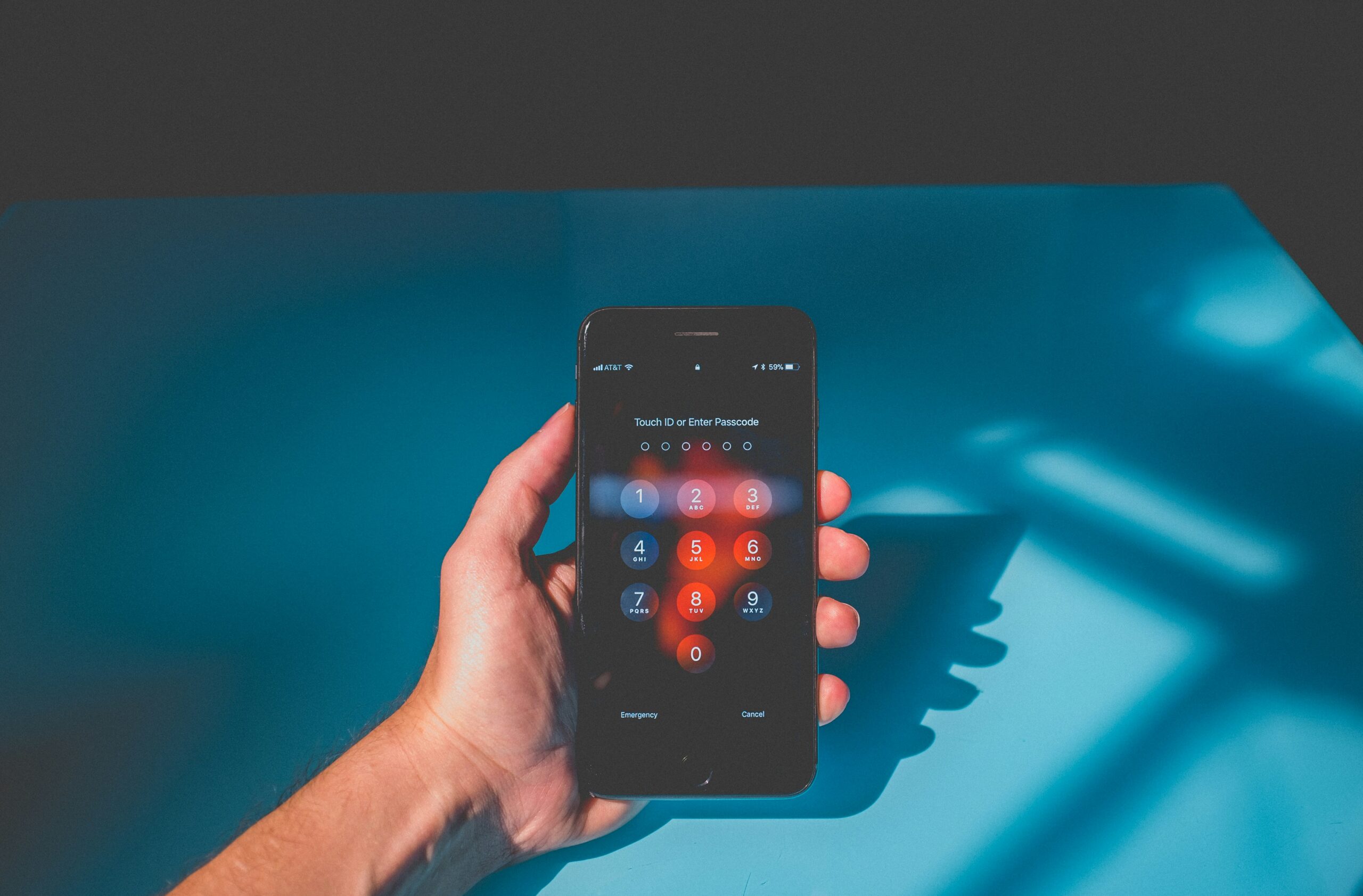
Most modern phones allow people to limit location access by app. Some apps can be set to use location only while open. Many can be limited to approximate location rather than precise location. Some systems also show when an app recently used location in the background. These controls do not remove every privacy risk, but they give users a way to match permission to purpose.
A good question is not simply, “Does this app use geofencing?” The better question is, “What useful thing happens because this app knows when I enter or leave a place?” If the answer is clear, the permission may be worth it. If the answer is vague, unnecessary, or mostly about ads, limiting access is reasonable.
How to Think About Geofencing Wisely
Geofencing is one of those technologies that works best when people understand its imperfections. It can make apps feel timely and helpful, but it is not exact enough to replace common sense. A geofence can notice that a phone is near a store. It may not know whether the person went inside, stayed in the parking lot, drove past, or stood next door.
That uncertainty should shape expectations. A missed reminder does not always mean the app is broken. A late alert may reflect battery-saving behavior or weak signals. A surprising notification may come from a wide boundary rather than a person being tracked to the inch. The invisible fence is a useful estimate, not a courtroom map.
For app users, the practical habit is to keep location permissions intentional. Give precise, background location only to apps that genuinely need it. Use approximate or while-using access when that is enough. Delete or restrict apps that ask for location without a clear reason. Check notification settings if a geofence-based feature becomes more distracting than helpful.
For anyone building or evaluating digital tools, the lesson is just as clear: location should serve the user, not merely harvest a signal. A well-designed geofence respects uncertainty, avoids unnecessary alerts, explains why permission is needed, and collects less data when less data will do. That is the difference between a helpful invisible boundary and a quiet form of surveillance.