A hurricane season is not active at the same level every week. Sometimes the ocean looks warm, the calendar says storms are possible, and yet the atmosphere seems to keep tropical systems from organizing. A few weeks later, the same basin can become much more favorable. One reason forecasters watch for these swings is the Madden-Julian Oscillation, often shortened to MJO, a slow-moving pattern of tropical thunderstorms, winds, and pressure that travels around the warm belt of the planet.
The MJO does not create hurricanes by itself. It is more like a traveling background condition that can make the atmosphere friendlier or less friendly to storm formation. When its active phase lines up with a hurricane basin, thunderstorms may organize more easily, moisture can increase, and upper-level winds may become less hostile. When its suppressed phase dominates, rising air and storm growth can weaken. That is why the MJO matters most as a weeks-ahead clue, not as a simple yes-or-no storm forecast.
A Moving Pulse in the Tropical Atmosphere
The Madden-Julian Oscillation is one of the main sources of tropical weather variation on time scales longer than a single storm but shorter than a season. NOAA’s Physical Sciences Laboratory describes it as a mode of sub-seasonal atmospheric variability that affects where tropical precipitation strengthens or weakens. Its active stage often begins over the equatorial Indian Ocean and moves eastward toward the Maritime Continent and the Pacific, followed by a quieter suppressed stage.
That movement is slow enough to matter. Instead of changing from day to day like an ordinary thunderstorm complex, the MJO can influence broad tropical regions for one to several weeks. A full cycle often takes roughly 30 to 60 days, though NOAA notes that the pattern can be intermittent rather than perfectly regular. Some events are strong and easy to track; others are weak, messy, or blended with larger climate patterns such as El Nino or La Nina.
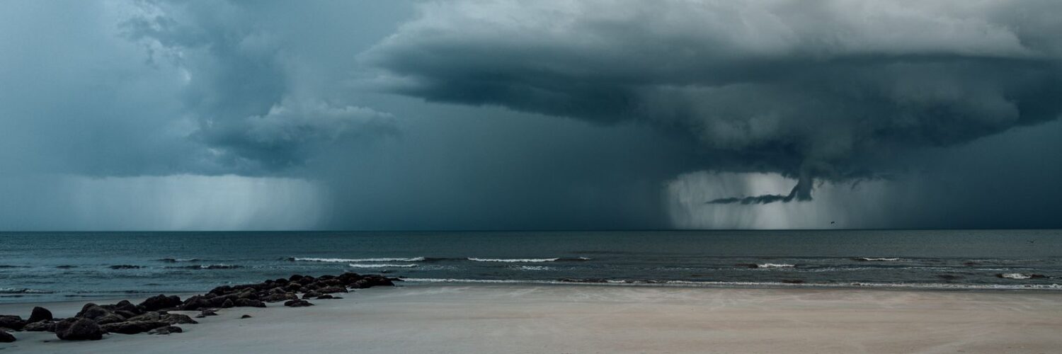
In practical terms, the MJO is a pulse of enhanced and suppressed tropical convection. Convection is the rising motion that builds deep clouds and heavy rain. When warm, humid air rises, water vapor condenses, thunderstorm towers grow, and large areas of rainfall can form. When the atmosphere is less willing to rise, clouds and rain are suppressed even if the ocean below is warm.
Why Hurricane Basins Notice the MJO
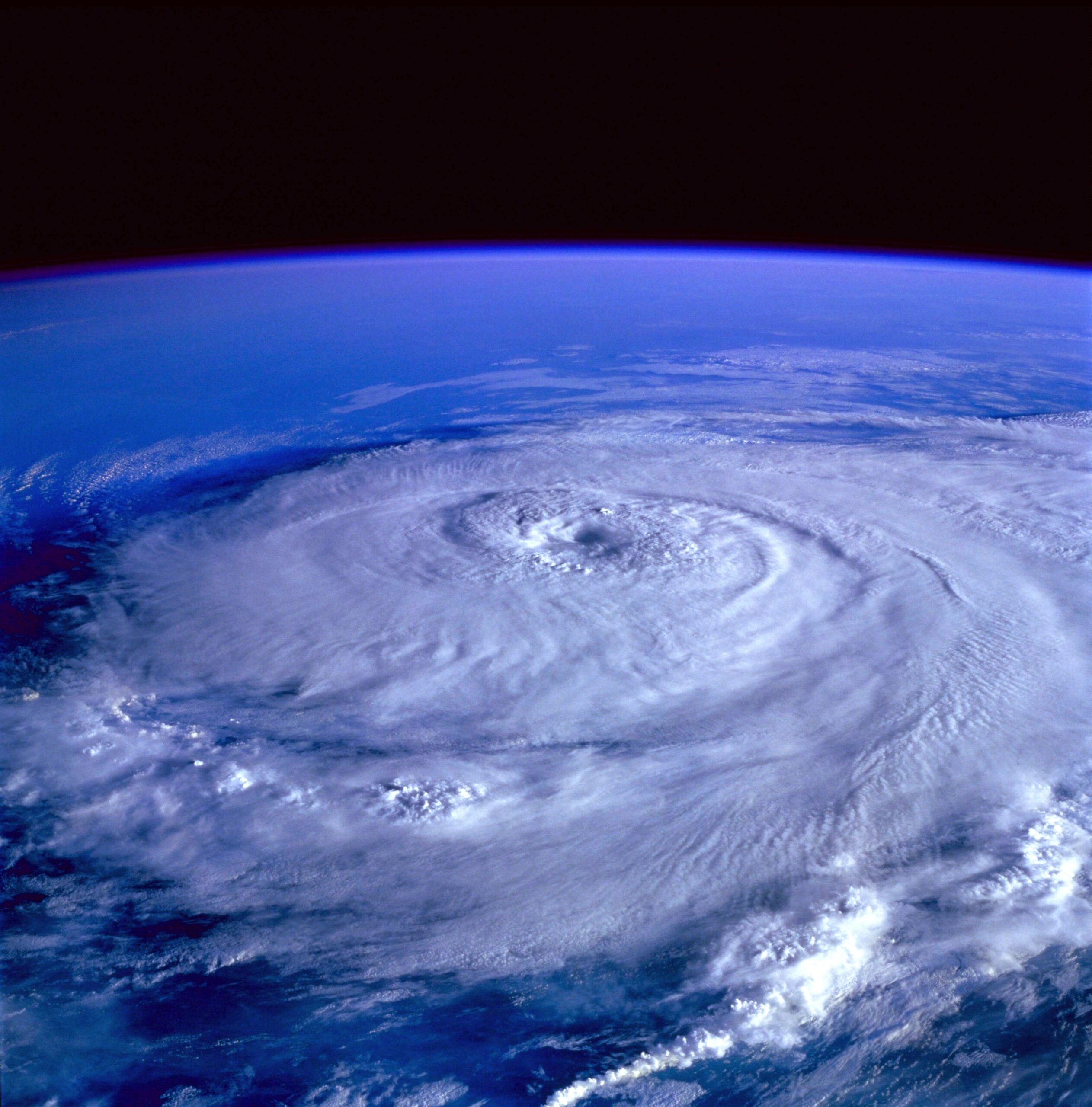
Tropical cyclones need more than warm water. They also need humid air, organized thunderstorms, low vertical wind shear, and enough spin to concentrate rotation. The MJO can influence several of those ingredients at once. US CLIVAR, a climate research program supported by U.S. science agencies, summarizes the connection clearly: the MJO is linked with changes in sea surface temperature, organized precipitation, low-level winds, vertical wind shear, atmospheric humidity, and temperature, all of which affect tropical cyclone formation and maintenance.
That is why the same ocean basin can look more favorable during one MJO phase and less favorable during another. If the active phase is nearby, rising motion can help clusters of thunderstorms persist long enough to become better organized. Moisture may be deeper, and winds at different heights may line up in a way that does less damage to the developing circulation. A tropical wave that might have fizzled under dry, sinking air can survive longer in that setting.
The suppressed phase works in the opposite direction. Sinking air can dry and stabilize the atmosphere, making it harder for thunderstorms to keep rebuilding near a developing low-pressure area. If upper-level winds cut across the storm too strongly, the thunderstorm tops get displaced from the low-level center. The result is not that storms become impossible, but that the atmosphere stacks the odds against them.
The MJO Changes Odds, Not Certainty
The most useful way to think about the MJO is probability. It can tilt the environment toward or away from tropical development, but it does not guarantee a storm. A basin still needs a disturbance to start with, such as a tropical wave moving off Africa, a low-pressure area over warm water, or a decaying front that leaves energy behind. Without a seed disturbance, even a favorable background pattern may produce little more than thunderstorms.
This distinction matters because hurricane seasons often produce misleading expectations. A quiet week in July does not mean the whole season is safe, and a favorable MJO phase does not mean a named storm must form. Forecasters use the MJO alongside sea surface temperatures, Saharan dust, wind shear, pressure patterns, tropical waves, and computer-model guidance. It is one layer in a complicated forecast, but it is a layer that can help explain why risk rises or falls over a two- or three-week window.
The pattern also varies by basin. The Atlantic, Gulf of Mexico, Caribbean, eastern Pacific, western Pacific, and Indian Ocean do not respond in exactly the same way at the same time. When the active phase is positioned over one part of the tropics, another region may sit under a more suppressed pattern. That is why global tropical outlooks often describe where conditions are becoming more favorable and where they are expected to stay quieter.
What Forecasters Look For
Forecasters do not watch the MJO with one simple map. They use several tools that together show where enhanced or suppressed convection is located and how it may move. One common tool is outgoing longwave radiation, or OLR. Thick, cold cloud tops from deep thunderstorms emit less outgoing infrared radiation to space, so OLR patterns can help reveal where tropical convection is unusually strong or weak.
Another common tool is the RMM index, which tracks the MJO using a pair of numbers that summarize tropical wind and cloudiness patterns. The index is often shown as a phase-space diagram with numbered regions. Those phases roughly describe where the active MJO signal is located around the tropics. A signal near the center of the diagram is weak; a signal farther from the center is stronger. The diagram is useful, but it is not magic. Forecasters still compare it with satellite images, wind fields, rainfall patterns, and model forecasts.
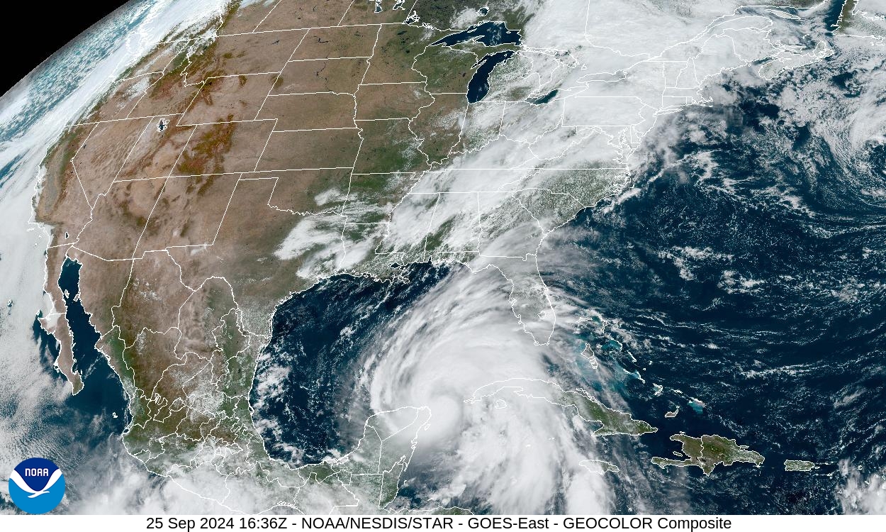
The Climate Prediction Center’s update from June 29, 2026, showed why interpretation matters. It described a weak RMM-based MJO signal near phases 5 and 6, while also noting interaction with an El Nino convective signal and a forecast pattern that favored enhanced tropical cyclone chances in parts of the Pacific but lower odds across the Atlantic. That example shows the MJO working in the real atmosphere, where overlapping signals can strengthen, weaken, or blur one another.
Why This Helps Beyond the Daily Forecast
Daily weather forecasts are usually strongest over the next several days. Seasonal hurricane outlooks look much farther ahead and describe broad risk for an entire basin. The MJO sits between those scales. Because it can be predictable a couple of weeks in advance, it helps forecasters think about windows of increased or decreased tropical activity before individual storms can be forecast confidently.
This middle range is called subseasonal forecasting. It is not meant to tell someone that a specific city will face a hurricane on a specific date. Instead, it can help emergency planners, energy companies, shipping interests, tourism areas, and coastal communities understand when the background environment may become more active. For learners, it is also a reminder that weather is not only local. A pulse of tropical convection that begins over the Indian Ocean can eventually influence wind and rainfall patterns far away.
The connection reaches beyond hurricanes as well. NOAA’s MJO primer explains that changes in tropical precipitation can affect atmospheric circulation and send wave-like influences into the middle latitudes. These effects are often weaker and less reliable far from the tropics, but they help explain why weather patterns across North America and other regions can sometimes be linked to distant tropical changes.
A Better Way to Read Hurricane-Season Quiet Spells
When a hurricane basin goes quiet, it is tempting to look for one cause. Maybe the ocean is too cool, the air is too dry, or wind shear is too strong. Sometimes those explanations are correct, but the atmosphere usually works through combinations. The MJO is useful because it ties several of those ingredients together in a moving pattern. It can help explain why a basin that looked ready for storms stays calm, or why activity begins to cluster after a quiet stretch.
It also encourages careful reading of forecasts. A phrase such as “MJO phase” does not mean a storm is coming. It means forecasters are watching a large tropical pattern that can change the odds. The details still depend on local conditions, individual disturbances, and how the MJO interacts with slower climate patterns. In some periods, El Nino, La Nina, monsoon circulation, Saharan dust, or regional wind shear may dominate the story.
The best takeaway is simple: hurricane risk changes within a season, and those changes are not random. The Madden-Julian Oscillation gives forecasters one way to see the atmosphere’s rhythm on a weeks-long scale. It turns a confusing question, “Why is the tropics quiet or active right now?” into a more useful one: which ingredients are lining up, and for how long?


Add comment