
A calendar date feels simple until a map makes it complicated. If it is Monday afternoon in California, it may already be Tuesday in New Zealand. A traveler can fly across the Pacific and land on a different date from the one printed on the ticket when the trip began. That strange jump is not a mistake in the clock. It comes from the way people turned Earth’s rotation into a system of time zones, then added a calendar boundary called the International Date Line.
The International Date Line is often described as sitting near 180 degrees longitude, halfway around the world from the Prime Meridian at Greenwich. That is a useful starting point, but it is not the whole story. On real maps, the line bends across the Pacific Ocean, avoiding some islands and keeping others on the same calendar date as their neighbors or governments. Its shape shows that geography is not only about physical distance. It is also about trade, politics, travel, and the practical question of which day people agree to live in.
Time Zones Begin With Earth’s Rotation
Earth turns once in about 24 hours, so different places face the Sun at different times. Noon in one place happens when the Sun is highest in that local sky. Before railroads, telegraphs, and global travel made coordination urgent, many towns could keep their own local solar time. That worked well enough when most communication moved slowly, but it became confusing once trains, ships, businesses, and governments needed shared schedules.
Longitude gives the basic geometry behind time zones. Earth has 360 degrees of longitude. Divide 360 by 24 hours, and each hour corresponds to about 15 degrees of longitude. Moving east generally takes you into later clock times because those places face the Sun sooner. Moving west generally takes you into earlier clock times because those places reach the same position in the day later.
This neat 15-degree idea is only a model. Real time zones bend around national borders, state boundaries, islands, and economic regions. A country may choose one time zone for political unity or several time zones for solar convenience. China, for example, uses one official time zone across a huge east-west span, while the continental United States uses several. The map of time is partly mathematical and partly human.

The Prime Meridian Sets the Starting Reference
To measure time differences globally, people needed a reference line. The Prime Meridian at Greenwich became the world’s zero-degree longitude reference in the late nineteenth century, when international navigation and commerce needed a shared standard. Royal Museums Greenwich explains that Greenwich Mean Time grew from the effort to standardize clock time and solve the problem of longitude at sea. Once Greenwich became the starting point, places east and west of it could describe their time differences in an organized way.
Modern timekeeping usually uses Coordinated Universal Time, or UTC, rather than old-style local solar time. UTC is not tied to one person’s noon or one city’s daily routine. It is a shared reference that lets airports, scientists, ships, weather services, computer systems, and international organizations coordinate events across borders. Local time zones are then written as offsets from UTC, such as UTC-5 or UTC+9.
The International Date Line sits on the opposite side of the globe from the Prime Meridian. If Greenwich is the rough center of the time-zone numbering system, the date line is where the numbering has to wrap around. Without that wraparound, clocks could keep changing by the hour forever as you traveled east or west, but the calendar would have no clear place to switch from one date to the next.
Why Crossing the Line Changes the Date
Imagine traveling west from Greenwich. As you move westward through time zones, the local clock generally moves earlier by one hour at a time. But if you keep going all the way around Earth, you eventually come back to Greenwich. Somewhere during that trip, the calendar has to adjust. The International Date Line supplies that adjustment by changing the date by one day.
Crossing the line westward usually moves the calendar forward one day. Crossing it eastward usually moves the calendar back one day. That sounds strange because the physical distance may be small. The Diomede Islands in the Bering Strait are often used as a vivid example: Big Diomede is associated with Russia and Little Diomede with the United States, and the date line runs between them. Two places can be geographically close yet live on different calendar dates because they sit on opposite sides of a chosen boundary.
The key is to separate clock time from calendar date. A time zone tells you what hour people use locally. The date line tells you where the global calendar changes day labels. Both systems are connected to Earth’s rotation, but neither one is a law of nature in the same way gravity is. They are human agreements built on physical geography.
Why the Line Bends Around Islands and Countries
If the International Date Line followed 180 degrees longitude perfectly, it would be easier to draw, but harder to live with. Communities, governments, and trading partners do not always sit neatly on one side of a meridian. NOAA’s National Ocean Service notes that the line roughly follows 180 degrees longitude through the mid-Pacific, but it zigzags around political borders and has no binding legal international status. Countries choose the dates and time zones they observe.
That freedom explains the bends. A country with island groups spread across the Pacific may want all of its citizens to share the same calendar date for school, business, elections, and government services. If a straight line split that country into two different dates, everyday life would become unnecessarily awkward. Moving the line around islands can keep related communities together in time.
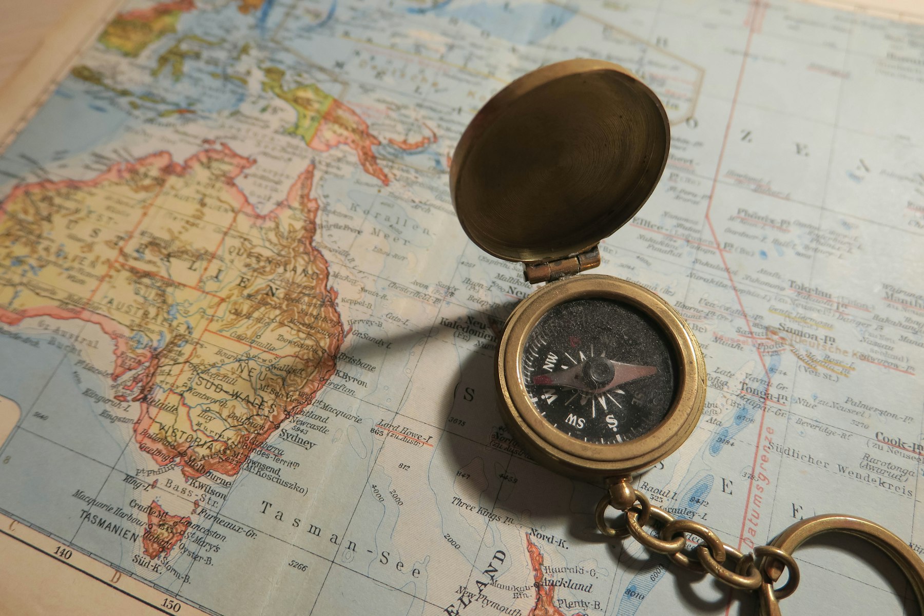
Kiribati is one of the clearest examples. In the 1990s, the country adjusted its time zones so its far-flung islands would share the same side of the calendar. The result made the date line bulge far to the east in that part of the Pacific. From a purely geometric viewpoint, the bend looks odd. From the viewpoint of a country trying to coordinate public life across scattered islands, it makes practical sense.
Other bends reflect similar pressures. The line avoids dividing some island chains, curves around parts of the Aleutian Islands, and runs through ocean space where fewer communities are disrupted. The Pacific route itself is not accidental. A date boundary through the middle of Europe, Africa, or Asia would split dense networks of neighbors and trade routes. A line through the Pacific causes fewer conflicts because much of the route crosses open ocean.
What the Date Line Teaches About Geography
The International Date Line is a good reminder that maps are not only drawings of land and water. They also show decisions. A latitude line can describe distance from the equator, and a longitude line can describe position east or west. But a time-zone map adds another layer: how people organize daily life across that space.
This is why the date line belongs in geography, not just in clock trivia. It connects physical geography, because Earth rotates and longitude matters. It connects human geography, because borders and governments affect the line’s path. It connects economic geography, because trade and communication work better when calendars align. It even connects cultural life, because holidays, school days, workweeks, and religious observances depend on shared dates.
It also explains why time can feel surprising during long-distance travel. A flight from Asia to North America may arrive earlier on the calendar than it departed, while a trip in the other direction may seem to lose a day. The airplane is not breaking time. It is crossing the place where the global calendar resets.
The clean classroom version is that the International Date Line sits at 180 degrees longitude. The more accurate version is richer: it begins with Earth’s rotation, depends on the Greenwich reference system, crosses the Pacific because that route causes fewer disruptions, and bends because real communities do not fit neatly into geometric lines. A straight line would be simpler on paper. The bent one works better for people.


Add comment