
A beach can look like two different places on the same day. In the morning, water may cover the rocks, fill the tide pools, and push waves close to the dunes. Hours later, the shoreline may seem to have moved far away, leaving rippled sand, stranded seaweed, and shallow pools behind. That regular rise and fall is not random. It is the visible result of gravity, Earth’s rotation, the shape of the coast, and the changing positions of the Moon and Sun.
The phrase spring tide can make the pattern sound seasonal, as if these tides belong to March or April. They do not. Spring tides happen throughout the year, usually twice in each lunar month, around the new Moon and full Moon. They are called “spring” tides because the water seems to spring forward, making the difference between high tide and low tide larger than usual. Knowing that simple point helps clear up one of the most common misunderstandings about tides.
Tides Begin With Uneven Gravity
The Moon is the main driver of Earth’s tides because it is close enough for its gravity to pull unevenly on different parts of the planet. NOAA describes this as a tidal force: the Moon pulls a little more strongly on the side of Earth facing it and a little less strongly on the far side. The result is a stretching effect. Ocean water shifts into broad bulges, one on the side facing the Moon and one on the opposite side.
That far-side bulge can feel puzzling at first. If the Moon pulls water toward itself, why would there also be a high tide on the opposite side of Earth? The key is that tides are not caused by one simple upward pull. They come from differences in the Moon’s pull across Earth. The near side is pulled more strongly than Earth’s center, while the far side is pulled less strongly than Earth’s center. Once those differences are compared, the planet is stretched slightly along the Earth-Moon line.
As Earth rotates, coastlines move through these tidal bulges. Many places experience two high tides and two low tides during a tidal day. A tidal day is a little longer than a normal 24-hour day because the Moon is also moving in its orbit around Earth. NASA notes that a high-tide-to-high-tide cycle is a little over 12 hours, while the full daily tidal cycle takes about 24 hours and 50 minutes. That is why the timing of high tide usually shifts later from one day to the next.
Why Spring Tides Happen at New and Full Moon
The Sun also affects tides, though the Moon has the larger influence because it is much closer to Earth. NOAA’s tide education materials explain that solar tides are roughly half as large as lunar tides. The Sun’s pull does not create a totally separate tide that we can easily see on the beach. Instead, it changes the lunar tide pattern, sometimes strengthening it and sometimes partly weakening it.
A spring tide happens when the Earth, Moon, and Sun are nearly lined up. This occurs at new Moon, when the Moon is between Earth and the Sun, and at full Moon, when Earth is between the Sun and Moon. In both cases, the Sun’s tide-raising effect adds to the Moon’s. High tides become a little higher than average, and low tides become a little lower than average. The important idea is not that the water suddenly becomes wild everywhere, but that the tidal range grows.
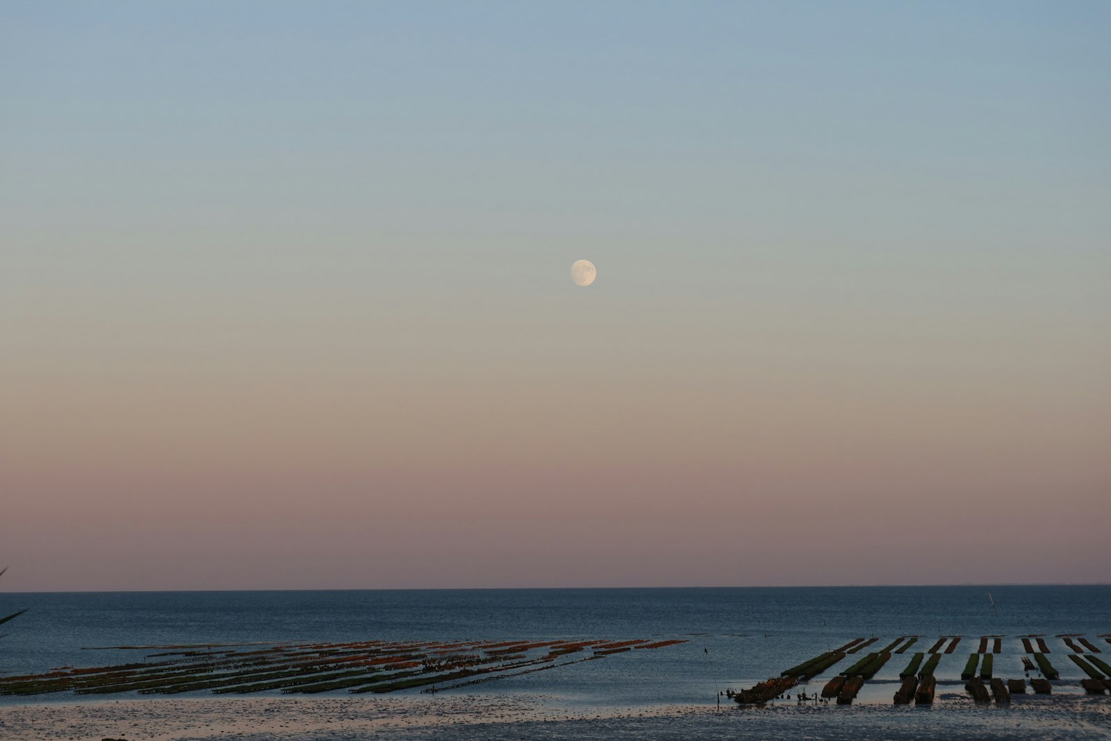
Tidal range means the vertical difference between high tide and low tide. A beach with a small tidal range may show only a modest change, while a place with a naturally large tidal range can look dramatically different during spring tides. The Bay of Fundy in Canada is famous for extreme tides because its basin shape helps amplify the water’s motion. A small cove, a wide sandy beach, and a narrow inlet can all respond differently to the same Moon and Sun positions.
Spring tides are also not limited to one exact moment. The new or full Moon marks the alignment, but the largest local tide may arrive hours or even a day or two later depending on the coastline and ocean basin. Real coastlines do not behave like a perfectly smooth world ocean. Continents block water, seafloor depth changes the movement of tidal waves, and local bays can delay or magnify the response.
Neap Tides Are the Quieter Part of the Cycle
About a week after a spring tide, the Moon reaches a quarter phase. From Earth, the Moon looks half lit, but in space the Sun and Moon are pulling from roughly right-angle directions. The solar tide then partly cancels the lunar tide. The result is a neap tide, when high tides are not as high and low tides are not as low as they are during spring tides.
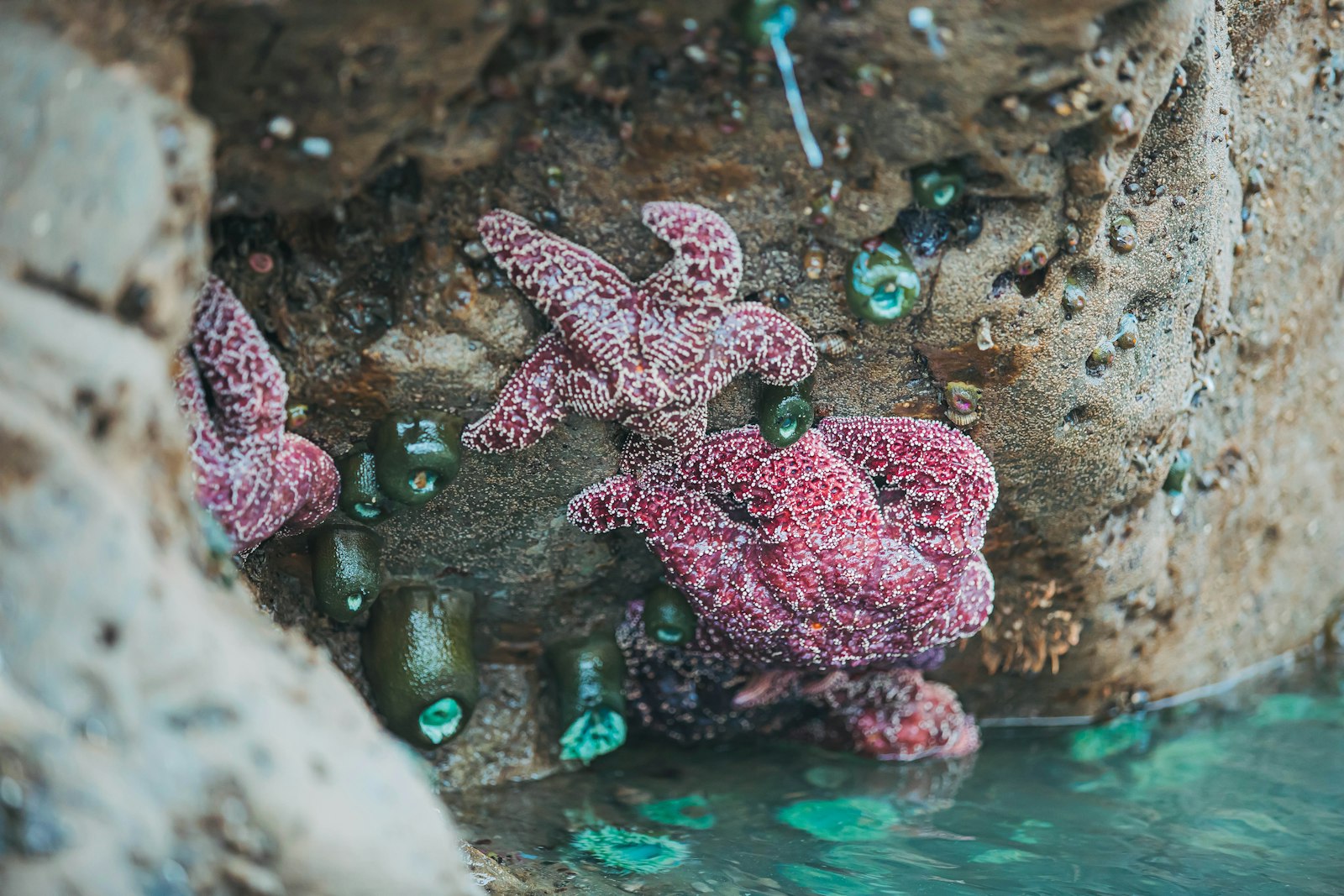
Neap tides can be easy to overlook because they are defined by moderation. A dock that was barely reachable at the lowest spring tide may still have enough water beneath it at a neap low tide. Tide pools that opened widely during a spring low may be smaller or hidden during a neap low. For anyone planning beach walks, clamming, kayaking, fishing, or photography, the difference can matter even when the weather seems unchanged.
The spring-neap rhythm repeats because the Moon keeps circling Earth. During a typical lunar month, there are two spring-tide periods and two neap-tide periods. The names describe the size of the tidal range, not the safety of the water. A spring tide is not automatically dangerous, and a neap tide is not automatically safe. Wind, waves, storm surge, currents, beach shape, and local hazards still matter.
Why Local Tides Do Not Always Match the Moon Perfectly
A simple diagram often shows two tidal bulges pointing toward and away from the Moon. That picture is helpful, but it leaves out the messy parts that make real tide predictions necessary. NASA emphasizes that high tides do not line up perfectly with the Moon’s position. Earth’s rotation, ocean-basin shape, continents, water depth, and coastal geography all affect when the water actually rises and falls at a particular shore.
Some coastlines have a semidiurnal pattern, with two fairly similar high tides and two fairly similar low tides each day. Other places have a diurnal pattern, with one main high tide and one main low tide. Still others have mixed tides, where one high tide is much higher than the other. These differences are why a tide table for one harbor cannot be safely used for a beach many miles away.
Weather can also push water away from the predicted level. Strong onshore winds can pile water against the coast, making high tide higher than expected. Offshore winds can pull water away. Low atmospheric pressure during storms can allow sea level to rise, while high pressure can press it down slightly. During coastal storms, a high tide that would normally be routine can become part of a flooding problem because waves, surge, rainfall, and wind are all adding to the water level.
This is also where the phrase king tide appears. NOAA often uses the more precise term perigean spring tide for a spring tide that happens when the Moon is near perigee, the closest part of its orbit around Earth. These events can produce higher-than-usual tides, especially in places with large tidal ranges or low-lying coastal areas. They are predictable astronomical events, but their effects feel larger when they line up with storms, sea-level rise, or vulnerable shorelines.
How to Use Tide Knowledge in Real Life
Tide knowledge becomes practical the moment someone plans to be near the coast. A tide chart tells when high and low water are expected at a specific station, but the useful question is often more concrete: Will the trail around the headland still be open? Will a sandbar disappear before the walk back? Will tide pools be visible? Will a kayak have enough water to launch without scraping over mud?
The first habit is to check the local tide prediction, not a general Moon phase calendar. The Moon phase can tell whether spring or neap tides are likely, but it cannot tell the exact water level at one beach. NOAA’s Tide Predictions and similar local services account for astronomical patterns and local station data. When safety matters, the nearest reliable station and local beach guidance are far better than a rough guess.
The second habit is to look at the direction of change. Low tide at 2:00 p.m. does not mean the beach stays low all afternoon. After low tide, water begins rising again. On flat beaches, mudflats, tidal rivers, and narrow inlets, the returning water can cut off routes faster than expected. A spring tide can make that change more noticeable because the water has farther to travel between low and high.
- New or full Moon: expect larger tidal ranges, especially around spring-tide periods.
- First or third quarter Moon: expect more moderate tidal ranges during neap-tide periods.
- Local tide chart: use it for actual times and predicted water levels.
- Weather forecast: check wind, waves, storms, and coastal flood alerts before relying on the tide alone.
The Pattern Is Simple, but the Coast Makes It Interesting
Spring tides are not about springtime. They are part of a monthly rhythm created when the Sun and Moon reinforce each other’s tide-raising effects. Neap tides are the quieter companion to that rhythm, arriving when the Sun and Moon pull from right-angle directions and the tidal range shrinks. The pattern is steady enough to predict, but not so simple that every beach behaves the same way.
That balance is what makes tides such a good example of everyday physics. The cause begins far away, with the Moon and Sun, but the result is local and visible: wet sand, exposed rocks, floating docks, current in a channel, or tide pools full of life. Once the pattern is familiar, a shoreline becomes easier to read. The water is not just coming and going. It is following a clock written by gravity, motion, and the shape of the coast.


Add comment